2020s Maps of Montgomery County, Alabama
Explore 48 historic maps of Montgomery County from the 2020s. These maps offer a rare glimpse into what life looked like during the 2020s — showing old roads, neighborhoods, homes, and landmarks that have changed or disappeared over time.
Whether you're researching your family's past, planning a metal detecting trip, or studying how Montgomery County's landscape evolved across the 2020s, these high-resolution maps are a powerful tool for exploring the history of this region.
- Focus on a specific era: All maps on this page are from the 2020s, giving you a focused view of this time period.
- See what’s changed: Compare century-old streets, trails, and buildings to today's modern landscape using overlays and satellite layers.
- Research with precision: Use these maps for genealogy, historical research, land use analysis, or educational projects.
- View, download, or print: Maps are fully viewable online in high resolution, and can be downloaded or printed for your own records.
Start exploring Montgomery County's history through authentic maps from the 2020s. This is your window into the past.
Montgomery County, AL maps
(48)- 2020 Map of Needmore, 2020 Print
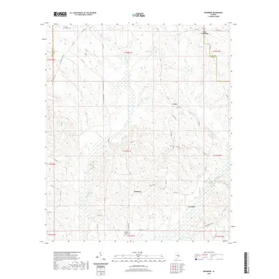 2020 Needmore2020 Print · USGSAlabama's rural interior comes into focus during this modern era, showing a landscape defined by legacy settlements and quiet watercourses. Researchers can locate family landmarks like Stills Cem and Tick Hill Cem or trace the winding path of Munnings Cr.
 - 2020 Map of Teasleys Mill, 2020 Print
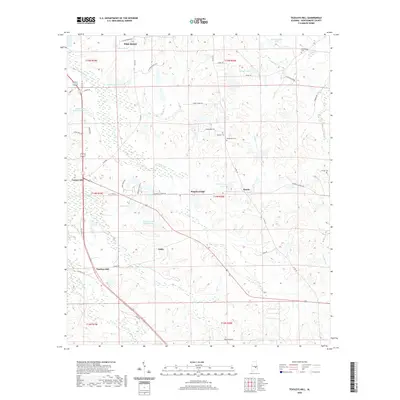 2020 Teasleys Mill2020 Print · USGSMontgomery County at the start of the 2020s shows a landscape where small settlements like Pike Road meet a network of rural creek bottoms. Researchers can locate family landmarks such as Barnett Cem and the historic site of Teasleys Mill.
 - 2020 Map of Montgomery North, 2020 Print
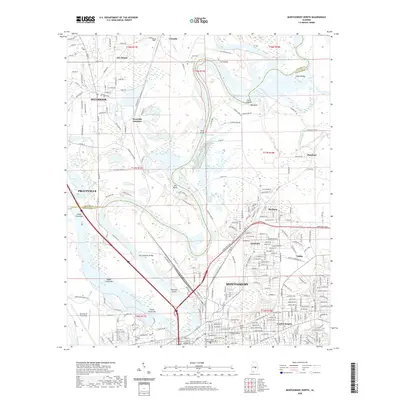 2020 Montgomery North2020 Print · USGSMontgomery and its northern suburbs are documented here in the early twenty-first century as the city meets the winding Coosa River. Researchers can trace the layout of Maxwell Air Force Base or locate historic resting places like Oakwood Cem and Saint Margaret's Cem.
 - 2020 Map of Montgomery South, 2020 Print
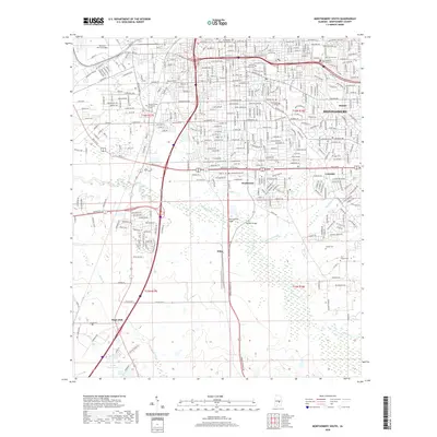 2020 Montgomery South2020 Print · USGSSouthern Montgomery and the surrounding Alabama countryside are captured here in the early twenty-first century. Family historians can trace local roots through several landmarks including Westcott Cem, Remount Park Cem, and the community at Hope Hull.
 - 2020 Map of Mount Meigs, 2020 Print
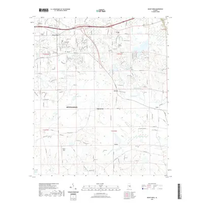 2020 Mount Meigs2020 Print · USGSIn the Alabama countryside near Montgomery, this recent survey documents a landscape of family-named cemeteries and rural airfields. Researchers can trace local lineage at Manning Springs McDade Cem or Mitchell Cem and locate landmarks like Kershaw Airport.
 - 2020 Map of Ramer, 2020 Print
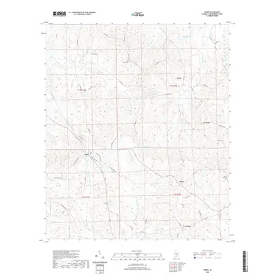 2020 Ramer2020 Print · USGSSouthern Montgomery County is documented in the modern era as a landscape of small crossroads and creek-side settlements. Genealogists and researchers can trace family landmarks like Chesser Cem or locate the rural communities of Dublin and Meadville.
 - 2020 Map of Sandy Ridge, 2020 Print
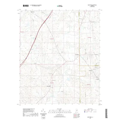 2020 Sandy Ridge2020 Print · USGSThe rural borders of Lowndes and Montgomery counties are captured here in the early twenty-first century, showing a landscape of family-named lakes and country crossroads. Genealogists can locate several historic burial sites, including Sawyer Cem and Lamar Cem, alongside the Mount Olive Missionary Baptist Church.
 - 2020 Map of Lapine, 2020 Print
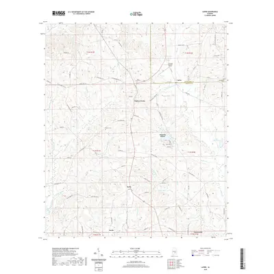 2020 Lapine2020 Print · USGSThe rural borders of Montgomery and Crenshaw Counties come alive in this modern survey of the Alabama countryside. Researchers can trace local heritage through sites like Rocky Mount Cem, Highland Home, and the T W Spear Memorial Airport.
 - 2020 Map of Elmore, 2020 Print
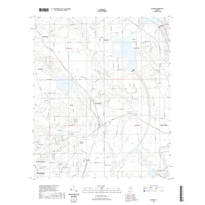 2020 Elmore2020 Print · USGSThe riverfront communities of Millbrook and Coosada are captured here in 2020, as the area continues to grow along the Coosa River. Researchers can trace local heritage through sites like Taskigi Mound and family-named landmarks such as Thrasher Cem and Ebenezer Cem.
 - 2020 Map of Letohatchee, 2020 Print
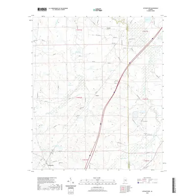 2020 Letohatchee2020 Print · USGSLetohatchee and the surrounding Lowndes County countryside are captured here in the modern era, showing a landscape of family farms and creek-fed ponds. Researchers can locate numerous local burial grounds including Letohatchee Cem, Murrell Cem, and Mosleys Cem near the historic Federal Rd.
 - 2020 Map of Barachias, 2020 Print
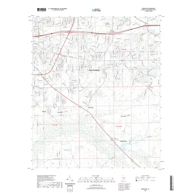 2020 Barachias2020 Print · USGSMontgomery's southeastern suburbs and the outlying rural communities are documented here in the early twenty-first century. Genealogists and local historians can trace family sites at Perrys Mill Cem and Taylor Cem or explore the settlements of Barachias and Macedonia.
 - 2020 Map of Pine Level, 2020 Print
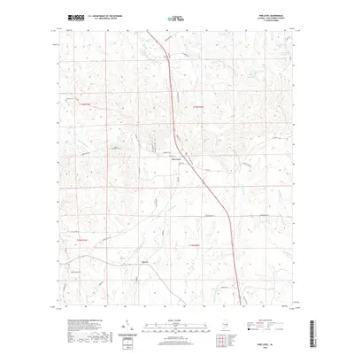 2020 Pine Level2020 Print · USGSMontgomery County unfolds in the modern era as a landscape of rural settlements and branching creek systems. Genealogists and local researchers can trace family landmarks and sites like Possum Trot Cem, Currys, and the banks of Baskins Mill Cr.
 - 2020 Map of Fitzpatrick, 2020 Print
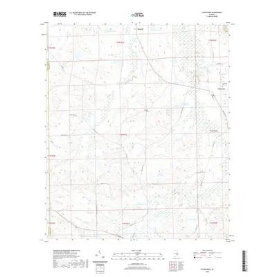 2020 Fitzpatrick2020 Print · USGSThe rural landscapes of Bullock County are documented here as they appeared in 2020, centered on the historic settlements of Fitzpatrick and Mitchell. Researchers can trace family roots through the Fitzpatrick Cem or study local hydrography at Lake Forrer Number One and Pinkston Lake.
 - 2020 Map of Sellers, 2020 Print
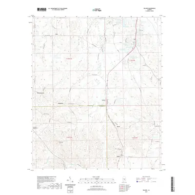 2020 Sellers2020 Print · USGSSouthern Montgomery County in the modern era is documented here, showing the rural landscape around Fleta and Sellers at the Crenshaw County line. Researchers can trace family sites near Mount Olive Missionary Baptist Church Cem or locate Fair Prospect Cem and Strata.
 - 2020 Map of Prattville, 2020 Print
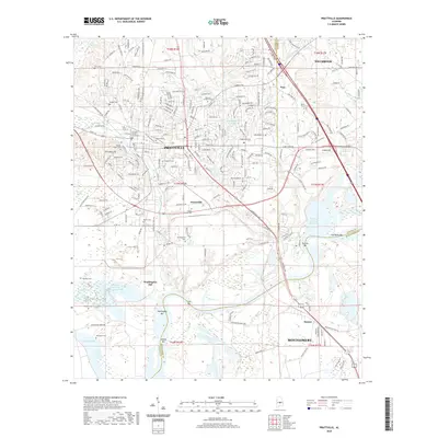 2020 Prattville2020 Print · USGSModern Pratttville and Millbrook are shown here as they appeared in 2020, highlighting the area's growth and deep family roots. Genealogists can locate numerous local burial grounds including Rocky Mount Cem, Burt Cem, and the historic Daniel Pratt Cem.
 - 2020 Map of China Grove, 2020 Print
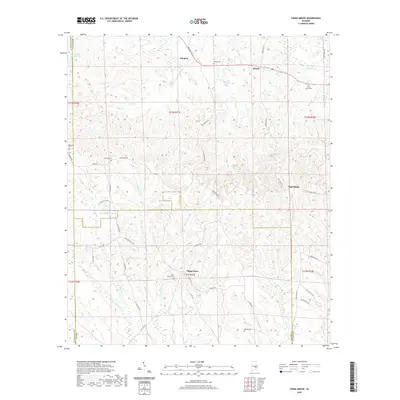 2020 China Grove2020 Print · USGSThe rural Bullock County landscape comes into focus in this contemporary survey of the settlements around China Grove. Trace local family history through numerous landmarks like Mount Carmel Cem, Bethesda Cem, and the old crossroads at Shopton.
 - 2020 Map of Chesson, 2020 Print
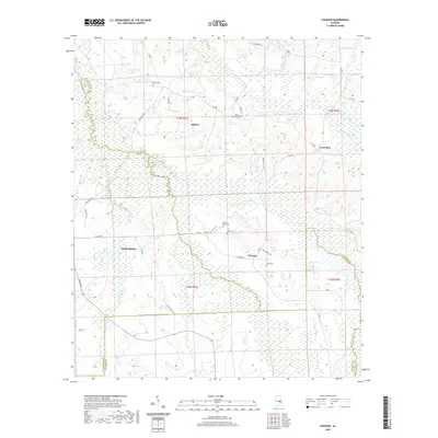 2020 Chesson2020 Print · USGSThe rural borders of Montgomery and Macon Counties are captured here in the contemporary era. Genealogists and local historians can trace family locations near Chesson and Cross Keys, or locate small burial grounds like Oswalt Cem and Mount Olive Cem.
 - 2020 Map of Brassell, 2020 Print
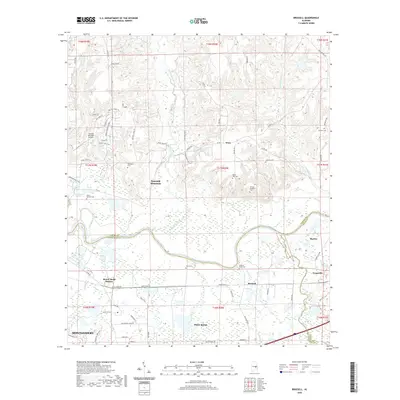 2020 Brassell2020 Print · USGSEast of Montgomery in the early twenty-first century, this area shows a unique mix of river-bottom lowlands and growing suburban communities. Researchers can locate numerous family burial grounds like Peter Hill Cem and historic stops like Mount Meigs Station.
 - 2020 Map of Ansley, 2020 Print
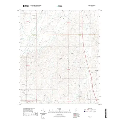 2020 Ansley2020 Print · USGSThe Pike County countryside near Troy and the Montgomery County line is captured here in recent detail. Researchers can locate ancestral burial sites and small crossroads communities like Orion, Ansley, and Shellhorn, or trace the paths of Olustee Creek and Beeman Creek.
 - 2020 Map of Davis Crossroads, 2020 Print
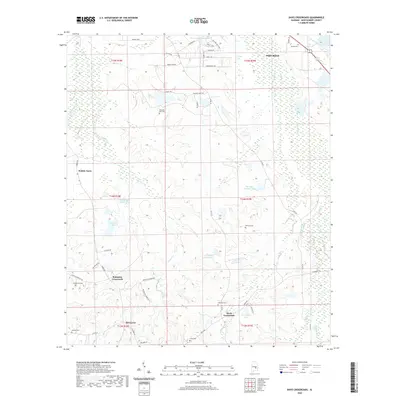 2020 Davis Crossroads2020 Print · USGSMontgomery County's rural landscape is captured here in the early twenty-first century, showing a region defined by its creeks and crossroads. Researchers can trace family sites at Howell Cem and Underwood Cem or locate the Hobbie Farm.
 - 2020 Map of Cantelous, 2020 Print
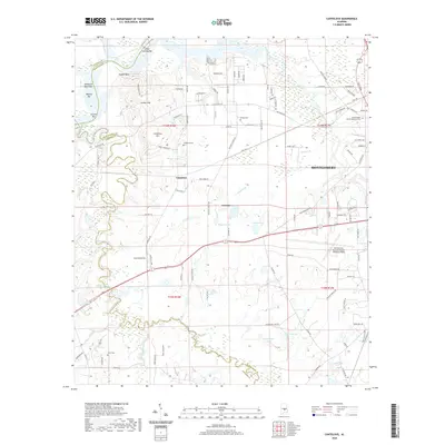 2020 Cantelous2020 Print · USGSThe Montgomery and Lowndes County line is captured here in 2020, showcasing the river-bottom landscape south of the Alabama River. Researchers can locate family sites and local landmarks including Cantelous Cem, Gunter Hill, and the Montgomery Regional Airport.
 - 2020 Map of Snowdoun, 2020 Print
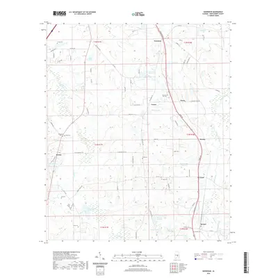 2020 Snowdoun2020 Print · USGSMontgomery County in the modern era shows a landscape of small rural settlements and numerous family-named cemeteries. Genealogists can trace local history through sites like Woodland Hills Cem or New Center Cem and follow the paths through Pintlala and Le Grand.
 - 2020 Map of Willow Springs, 2020 Print
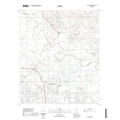 2020 Willow Springs2020 Print · USGSNortheast Montgomery and the surrounding river country appear in great detail at the start of the 2020s. Researchers can trace family history through numerous burial sites like Old Bingham Cem and Augusta Cem or locate the campuses of Faulkner University and the Community College of the Air Force.
 - 2020 Map of Grady, 2020 Print
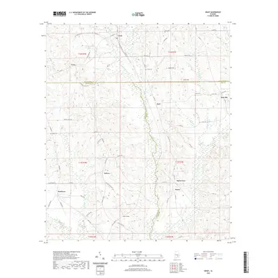 2020 Grady2020 Print · USGSCrenshaw and Montgomery counties meet at the crossroads of Helicon and Grady in this recent survey. Genealogists can trace family landmarks like Fannin Cem, Hudson Cem, and old creek-side locations near Salter Bridge and Olustee.
 - 2024 Map of Chesson, 2024 Print
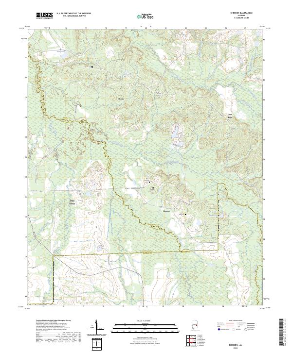 2024 Chesson2024 Print · USGSMacon and Montgomery counties meet in this 2024 survey of the Alabama Black Belt, showing the evolving rural landscape between Shorter and Pike Road. Researchers can pinpoint family history at Mount Zion Cem, trace the drainage of Cubahatchee Creek, or locate the historic settlement of Cross Keys.
Showing maps 1-25 of 48
Top cities of Montgomery County
Frequently asked questions
- What are the different types of historical maps available for Montgomery County?
- What is the oldest map of Montgomery County?
- Where can I purchase historical maps of Montgomery County for my home or office?
- Where can I download high-res historical maps of Montgomery County?
- Are there historical topographic maps available for Montgomery County?
- Is there historical aerial imagery available for Montgomery County?
- Where are historical maps of Montgomery County sourced from?