2010s Maps of Pike Road, Alabama
Explore 18 historic maps of Pike Road from the 2010s. These maps offer a rare glimpse into what life looked like during the 2010s — showing old roads, neighborhoods, homes, and landmarks that have changed or disappeared over time.
Whether you're researching your family's past, planning a metal detecting trip, or studying how Pike Road's landscape evolved across the 2010s, these high-resolution maps are a powerful tool for exploring the history of this region.
- Focus on a specific era: All maps on this page are from the 2010s, giving you a focused view of this time period.
- See what’s changed: Compare century-old streets, trails, and buildings to today's modern landscape using overlays and satellite layers.
- Research with precision: Use these maps for genealogy, historical research, land use analysis, or educational projects.
- View, download, or print: Maps are fully viewable online in high resolution, and can be downloaded or printed for your own records.
Start exploring Pike Road's history through authentic maps from the 2010s. This is your window into the past.
Pike Road, AL maps
(18)- 2011 Map of Chesson, 2011 Print
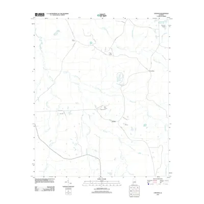 2011 Chesson2011 Print · USGSThe rural landscape near Pike Road is captured in the early twenty-first century, showing a network of creeks and small settlements. Researchers can locate numerous family burial grounds such as White Cemetery and Silah Cemetery along historical routes like Chesson Plantation Rd.
 - 2011 Map of Barachias, 2011 Print
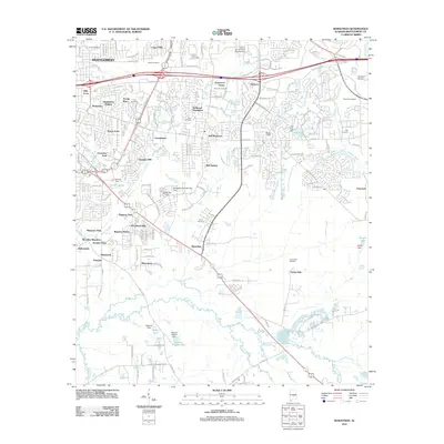 2011 Barachias2011 Print · USGSSoutheast of Montgomery in the early twenty-first century, this area shows a mix of suburban growth and traditional Alabama rural life. Researchers can find numerous family cemeteries and local landmarks, from Bellwood Plantation and Kershaw Airport to the Perrys Mill Cemetery.
 - 2011 Map of Teasleys Mill, 2011 Print
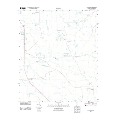 2011 Teasleys Mill2011 Print · USGSSoutheast of Montgomery in the early twenty-first century, this rural landscape is a patchwork of family-named dams and small settlements. Genealogists and local historians can trace legacy sites like Teasleys Mill and Barnett Cemetery along the banks of McDowell Creek.
 - 2011 Map of Brassell, 2011 Print
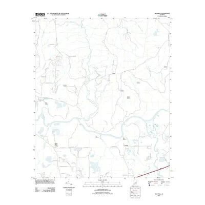 2011 Brassell2011 Print · USGSEast of Montgomery in the early twenty-first century, this rural landscape centers on the winding Tallapoosa River. Researchers can trace numerous family burial sites such as Dawson Bradford Cemetery and Billingslea Cemetery alongside the historic Mount Meigs Station.
 - 2011 Map of Davis Crossroads, 2011 Print
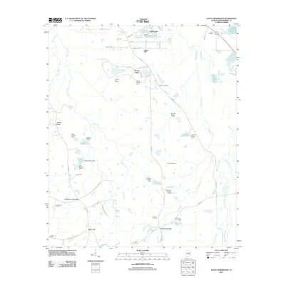 2011 Davis Crossroads2011 Print · USGSSouthern Montgomery County at the start of the decade reveals a landscape of longstanding family farms and small rural crossroads. Genealogists can trace family names through numerous burial sites like Bethany Cemetery and Underwood Cemetery or locate historic homesteads such as Hobbie Farm.
 - 2012 Map of Mount Meigs, 2012 Print
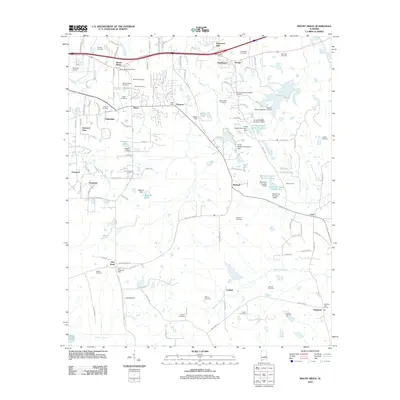 2012 Mount Meigs2012 Print · USGSEastern Montgomery County in the early twenty-first century shows a landscape defined by historic crossroads and extensive private water management. Genealogists and researchers can trace local family lineages through the Mount Meigs Cemetery, Lucas Hill Cemetery, and Ashurst Cemetery.
 - 2014 Map of Davis Crossroads, 2014 Print
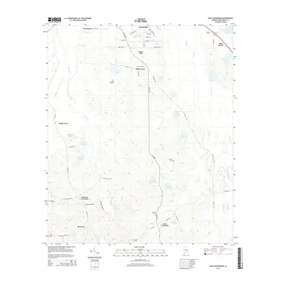 2014 Davis Crossroads2014 Print · USGSMontgomery County’s rural transitions are on display here in the early twenty-first century, as suburban growth from Pike Road meets traditional southern farmsteads. Researchers can trace family history at Pleasant Hill Cem or locate old landmarks near Robinson Crossroads and Davis Crossroads.
 - 2014 Map of Teasleys Mill, 2014 Print
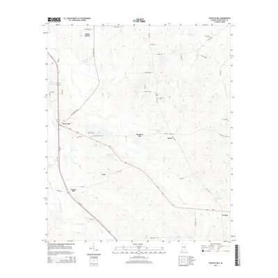 2014 Teasleys Mill2014 Print · USGSSoutheast of Montgomery in the early twenty-first century, this area shows a landscape of dispersed rural settlements and small family-named lakes. Researchers can trace local history through sites like Teasleys Mill, Carters Hill, and several old burial grounds including Barnett Cem.
 - 2014 Map of Brassell, 2014 Print
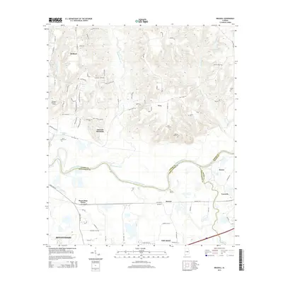 2014 Brassell2014 Print · USGSThe tri-county borderlands of Elmore, Montgomery, and Macon are captured here during a period of modern growth. Researchers can trace numerous family burial sites like Anthony Cem and Scott Cem alongside landmarks such as Mount Meigs Station.
 - 2014 Map of Barachias, 2014 Print
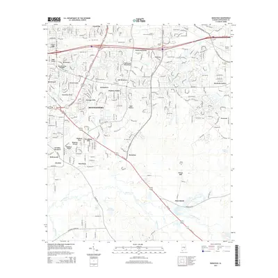 2014 Barachias2014 Print · USGSSoutheast of Montgomery in the early twenty-first century, suburban growth meets the rural heritage of the Alabama Black Belt. Genealogists and local historians can trace legacy landmarks like Perrys Mill, Barachias, and a dozen family cemeteries including Flora Cem and Ray Cem.
 - 2014 Map of Mount Meigs, 2014 Print
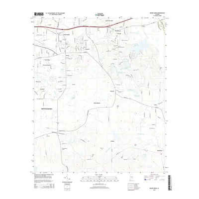 2014 Mount Meigs2014 Print · USGSEast of Montgomery in the early 2010s, this area maintains its rural identity through numerous crossroads and family burial grounds. Genealogists and historians can locate Antioch Cem, Ashurst Cem, and old settlements like Mount Meigs and Cecil.
 - 2014 Map of Chesson, 2014 Print
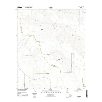 2014 Chesson2014 Print · USGSThe rural borders of Macon, Montgomery, and Bullock counties come together in this mid-2010s survey of the Alabama interior. Researchers can locate several historical burial sites including White Cem and Silah Cem or trace the winding course of Line Cr.
 - 2018 Map of Chesson, 2018 Print
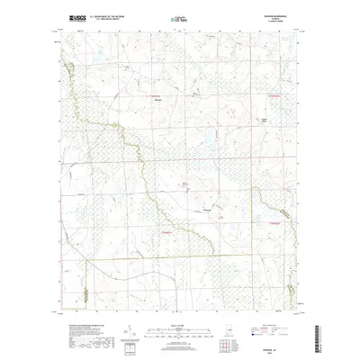 2018 Chesson2018 Print · USGSThe rural borders of Macon, Montgomery, and Bullock counties are captured here in the late 2010s. Researchers can locate family landmarks like Oswalt Cem and Silah Cem or trace the waterways of Cubahatchee Cr and Old Town Cr.
 - 2018 Map of Brassell, 2018 Print
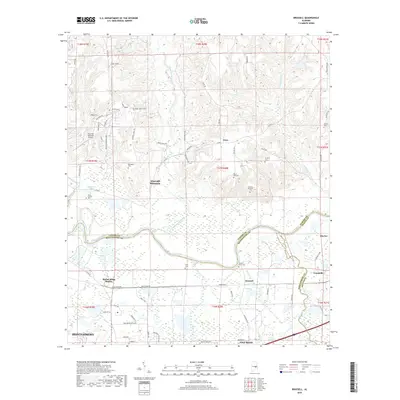 2018 Brassell2018 Print · USGSThe Alabama river valley east of Montgomery is captured here during a period of suburban transition. Genealogists can trace several local burial sites like Hickory Bend Cem and Billingslea Cem, while historians can locate Mount Meigs Station and Ware.
 - 2018 Map of Barachias, 2018 Print
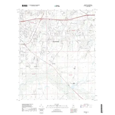 2018 Barachias2018 Print · USGSMontgomery's southeastern growth and rural heritage meet in this 2010s survey of the Alabama countryside. Genealogists and researchers can trace family roots through numerous sites like Pinkston Cemetery, Jones Cemetery, and the historic Perrys Mill.
 - 2018 Map of Davis Crossroads, 2018 Print
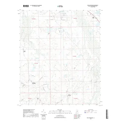 2018 Davis Crossroads2018 Print · USGSSoutheast Montgomery County during the late twenty-teens reveals a mix of established rural junctions and expanding residential roads. Genealogists and local historians can trace family roots through numerous sites like Bethany Cem, Robinson Crossroads, and Hobbie Farm.
 - 2018 Map of Mount Meigs, 2018 Print
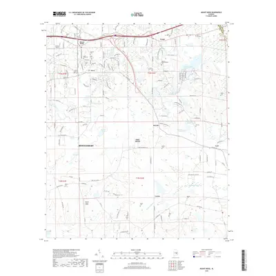 2018 Mount Meigs2018 Print · USGSEastern Montgomery County is shown in the late 2010s as suburban growth reaches historic rural communities. Genealogists can locate numerous small burial grounds like Mount Meigs Cem, Saint James Cem, and Judkins Cem.
 - 2018 Map of Teasleys Mill, 2018 Print
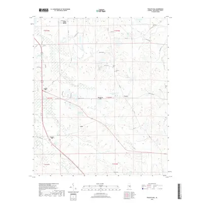 2018 Teasleys Mill2018 Print · USGSMontgomery County in the late 2010s shows a landscape of growing communities and rural family homesteads south of the state capital. Genealogists and local historians can trace legacy sites like Teasleys Mill and find resting places at Barnett Cem or Meriwether Cem.
End of results
Showing maps 1-18 of 18
Top cities near Pike Road
- Montgomery historical maps
- Wetumpka historical maps
- Tallassee historical maps
- Emerald Mountain historical maps
- Blue Ridge historical maps
- Elmore historical maps
See more
Top neighborhoods of Pike Road
- Knollwood historical maps
- Eastwood Villa historical maps
- Foxchase historical maps
- McDade historical maps
- Merry historical maps
- Foxwood historical maps
See more
Frequently asked questions
- What are the different types of historical maps available for Pike Road?
- What is the oldest map of Pike Road?
- Where can I purchase historical maps of Pike Road for my home or office?
- Where can I download high-res historical maps of Pike Road?
- Are there historical topographic maps available for Pike Road?
- Is there historical aerial imagery available for Pike Road?
- Where are historical maps of Pike Road sourced from?