2020s Maps of Pike Road, Alabama
Explore 12 historic maps of Pike Road from the 2020s. These maps offer a rare glimpse into what life looked like during the 2020s — showing old roads, neighborhoods, homes, and landmarks that have changed or disappeared over time.
Whether you're researching your family's past, planning a metal detecting trip, or studying how Pike Road's landscape evolved across the 2020s, these high-resolution maps are a powerful tool for exploring the history of this region.
- Focus on a specific era: All maps on this page are from the 2020s, giving you a focused view of this time period.
- See what’s changed: Compare century-old streets, trails, and buildings to today's modern landscape using overlays and satellite layers.
- Research with precision: Use these maps for genealogy, historical research, land use analysis, or educational projects.
- View, download, or print: Maps are fully viewable online in high resolution, and can be downloaded or printed for your own records.
Start exploring Pike Road's history through authentic maps from the 2020s. This is your window into the past.
Pike Road, AL maps
(12)- 2020 Map of Teasleys Mill, 2020 Print
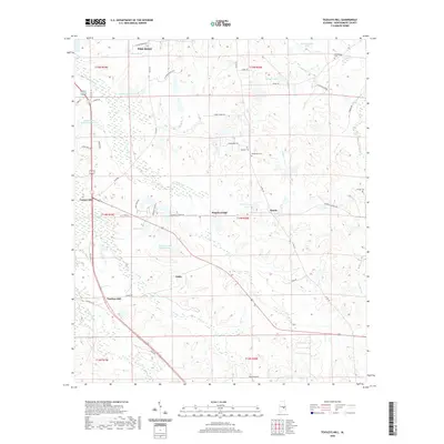 2020 Teasleys Mill2020 Print · USGSCovers Pike Road, including Mamie, Downing, and other nearby areas
 - 2020 Map of Mount Meigs, 2020 Print
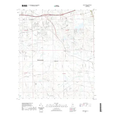 2020 Mount Meigs2020 Print · USGSCovers Pike Road, including Montgomery, Knollwood, and other nearby areas
 - 2020 Map of Barachias, 2020 Print
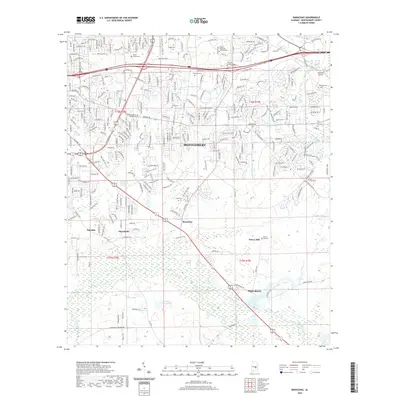 2020 Barachias2020 Print · USGSCovers Pike Road, including Montgomery, Pinedale, and other nearby areas
 - 2020 Map of Chesson, 2020 Print
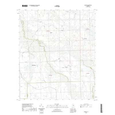 2020 Chesson2020 Print · USGSCovers Pike Road, including Shorter, Chesson, and other nearby areas
 - 2020 Map of Brassell, 2020 Print
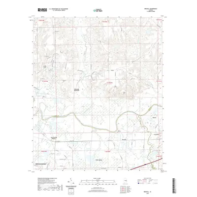 2020 Brassell2020 Print · USGSCovers Pike Road, including Montgomery, Emerald Mountain, and other nearby areas
 - 2020 Map of Davis Crossroads, 2020 Print
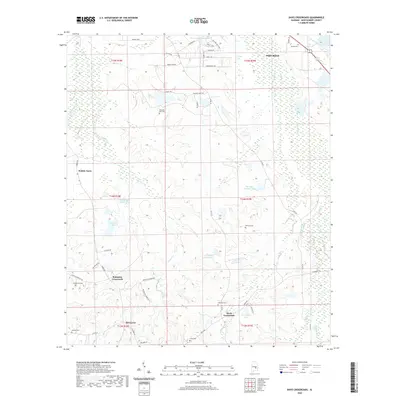 2020 Davis Crossroads2020 Print · USGSCovers Pike Road, including Doral Estates, Rolling Lakes, and other nearby areas
 - 2024 Map of Chesson, 2024 Print
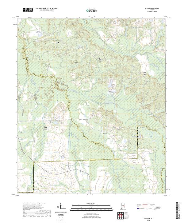 2024 Chesson2024 Print · USGSMacon and Montgomery counties meet in this 2024 survey of the Alabama Black Belt, showing the evolving rural landscape between Shorter and Pike Road. Researchers can pinpoint family history at Mount Zion Cem, trace the drainage of Cubahatchee Creek, or locate the historic settlement of Cross Keys.
 - 2024 Map of Teasleys Mill, 2024 Print
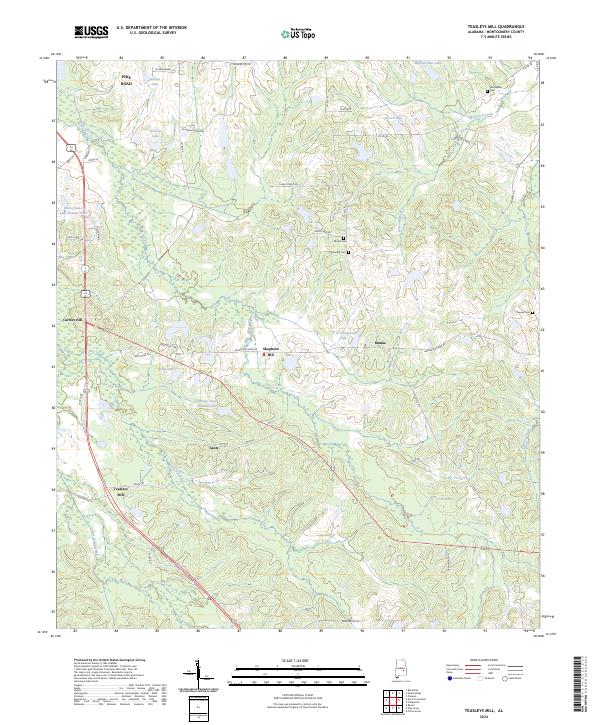 2024 Teasleys Mill2024 Print · USGSMontgomery County's rural character remains evident in this recent study of the landscapes south of the state capital. Genealogists and local historians can trace family ties through Barnett Cem, Orange Cem, and the old settlement at Teasleys Mill.
 - 2024 Map of Davis Crossroads, 2024 Print
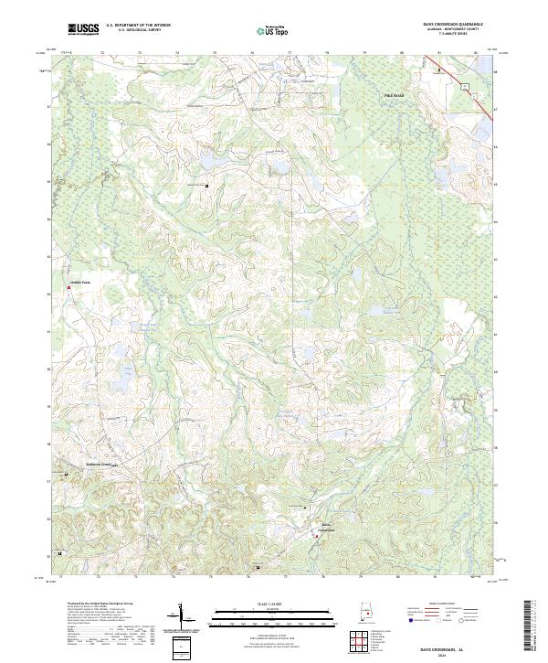 2024 Davis Crossroads2024 Print · USGSSoutheast of Montgomery in the 2020s, this area shows a landscape of traditional family farms transitioning toward residential growth. Researchers can trace local lineage at Kennedy Cem and Underwood Cem, or locate rural landmarks like Hobbie Farm and Robinson Crossroads.
 - 2024 Map of Brassell, 2024 Print
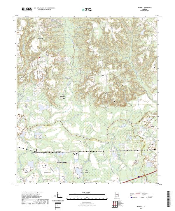 2024 Brassell2024 Print · USGSCentral Alabama's riverfront and growing suburbs are documented here as they appeared in the early 2020s. Genealogists can locate several local burial sites, including Billingslea Cem, Anthony Cem, and Wares Quarter Cem.
 - 2024 Map of Mount Meigs, 2024 Print
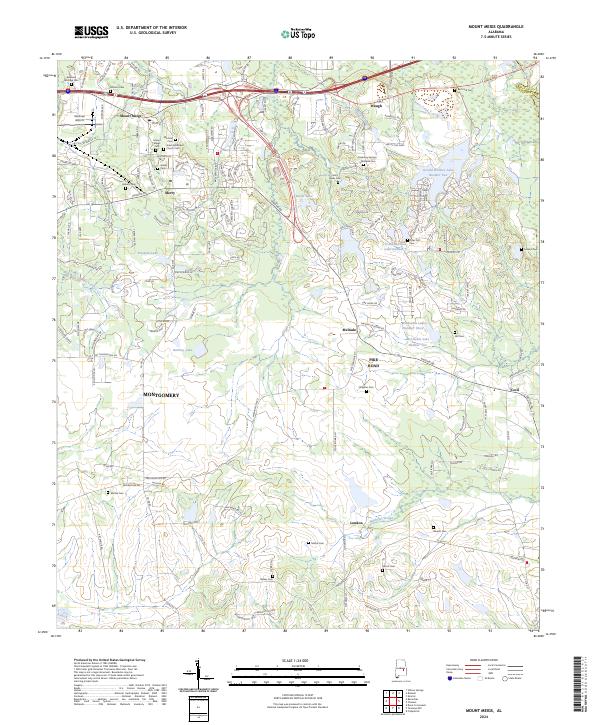 2024 Mount Meigs2024 Print · USGSThe rural outskirts of Montgomery are meticulously mapped in the current era, showing the intersection of suburban growth and historic landscapes. Genealogists can locate numerous small burial sites like Mitchell Cem and Gilder Cem near the town of Mount Meigs.
 - 2024 Map of Barachias, 2024 Print
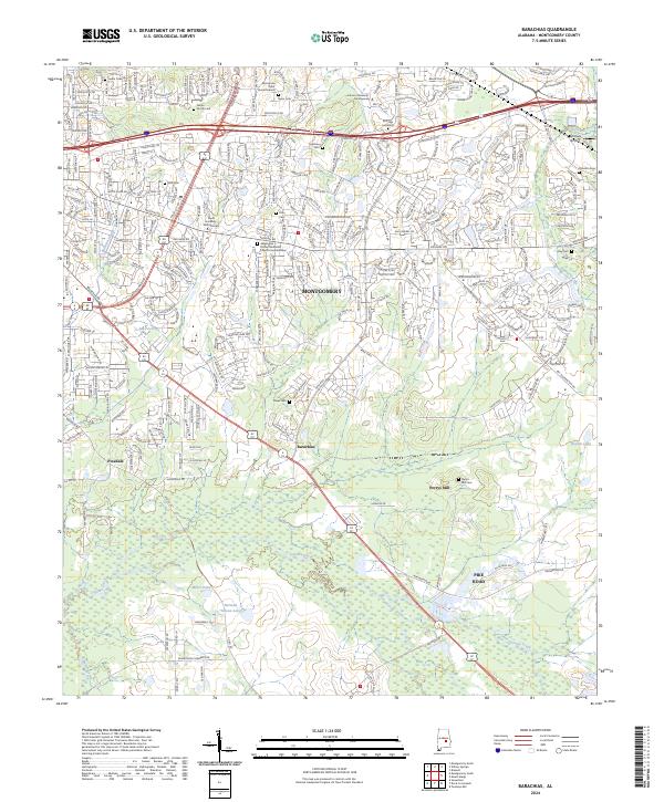 2024 Barachias2024 Print · USGSSoutheast of Montgomery, this modern survey shows the suburban-to-rural transition near Pike Road and Barachias. Genealogists can trace family heritage through numerous markers including the McLemore Taylor Burial Ground and Perrys Mill Cem.
End of results
Showing maps 1-12 of 12
Top cities near Pike Road
- Montgomery historical maps
- Wetumpka historical maps
- Tallassee historical maps
- Emerald Mountain historical maps
- Blue Ridge historical maps
- Elmore historical maps
See more
Top neighborhoods of Pike Road
- Knollwood historical maps
- Eastwood Villa historical maps
- Foxchase historical maps
- McDade historical maps
- Merry historical maps
- Foxwood historical maps
See more
Frequently asked questions
- What are the different types of historical maps available for Pike Road?
- What is the oldest map of Pike Road?
- Where can I purchase historical maps of Pike Road for my home or office?
- Where can I download high-res historical maps of Pike Road?
- Are there historical topographic maps available for Pike Road?
- Is there historical aerial imagery available for Pike Road?
- Where are historical maps of Pike Road sourced from?