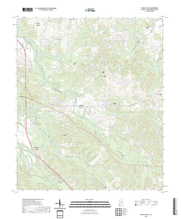
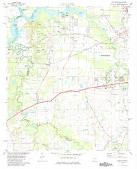
2024 Map of Teasleys Mill
USGS Topo · Published 2024This historical map portrays the area of Teasleys Mill in 2024, primarily covering Montgomery County. Featuring a scale of 1:24000, this map provides a highly detailed snapshot of the terrain, roads, buildings, counties, and historical landmarks in the Teasleys Mill region at the time. Published in 2024, it is the sole known edition of this map.
Map Details
Editions of this 2024 Teasleys Mill Map
This is the sole edition of this map. No revisions or reprints were ever made.
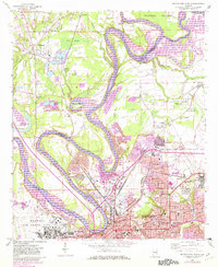
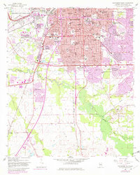
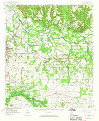
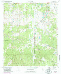
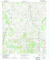
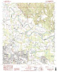
Historical Maps of Pike Road Through Time
32 maps found

1957 Letohatchee
Montgomery County, AL
1958 Montgomery North
Montgomery County, AL
1958 Montgomery South
Montgomery County, AL
1958 Mount Meigs
Montgomery County, AL
1971 Davis Crossroads
Montgomery County, AL
1971 Pine Level
Montgomery County, AL
1971 Ramer
Montgomery County, AL
1971 Teasleys Mill
Montgomery County, AL

1975 Montgomery North
Montgomery County, AL

1975 Montgomery South
Montgomery County, AL

1975 Montgomery SW
Montgomery County, AL

1975 Mount Meigs NW
Montgomery County, AL

1975 Mount Meigs SE
Montgomery County, AL

1975 Mount Meigs SW
Montgomery County, AL
1981 Cantelous
Montgomery County, AL
1981 Sellers
Montgomery County, AL
1981 Snowdoun
Montgomery County, AL

1987 Barachias
Montgomery County, AL

1987 Mount Meigs
Montgomery County, AL
1987 Willow Springs
Montgomery County, AL
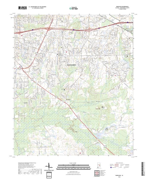
2024 Barachias
Montgomery County, AL
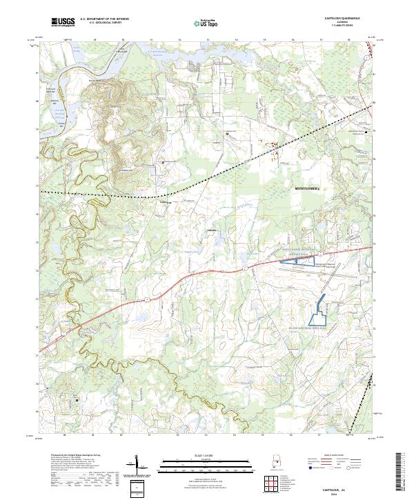
2024 Cantelous
Montgomery County, AL
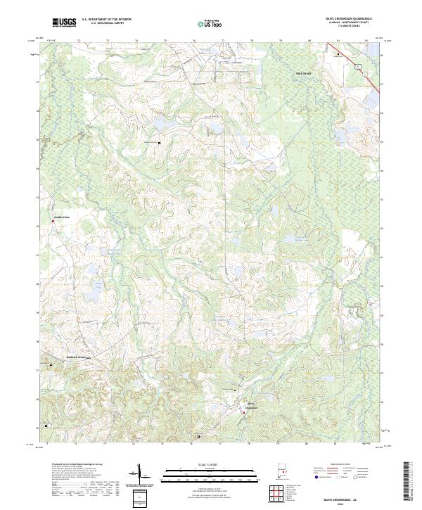
2024 Davis Crossroads
Montgomery County, AL
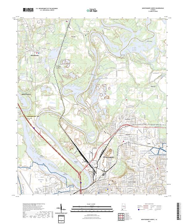
2024 Montgomery North
Montgomery County, AL
2024 Montgomery South
Montgomery County, AL
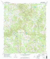
2024 Mount Meigs
Montgomery County, AL
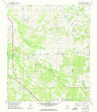
2024 Pine Level
Montgomery County, AL
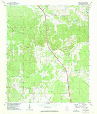
2024 Ramer
Montgomery County, AL
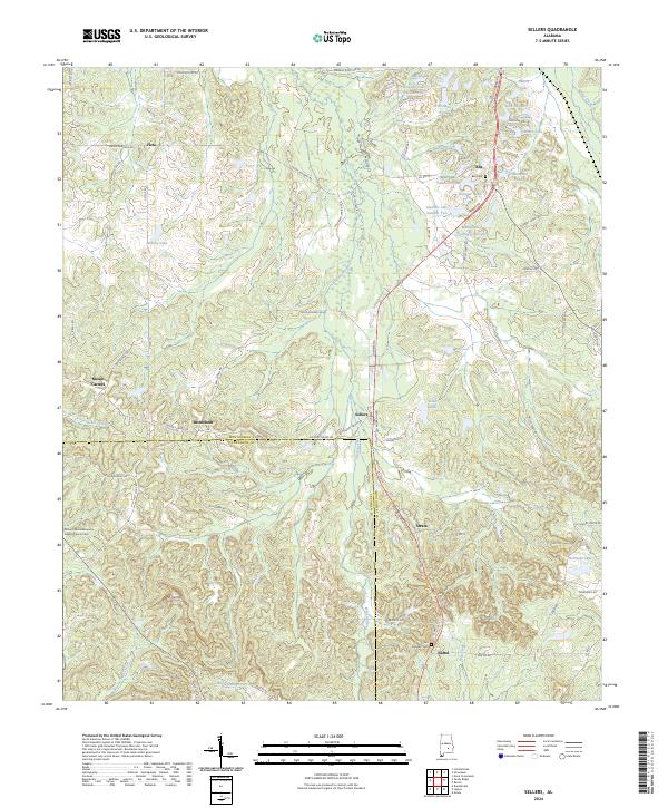
2024 Sellers
Montgomery County, AL
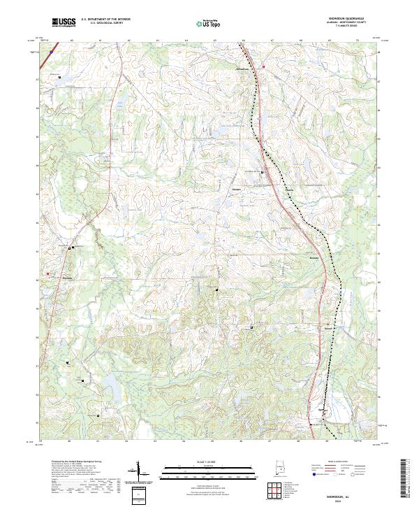
2024 Snowdoun
Montgomery County, AL
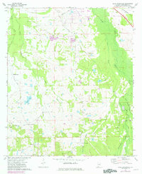
2024 Teasleys Mill
Montgomery County, AL
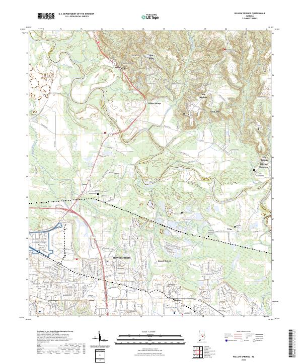
2024 Willow Springs
Montgomery County, AL