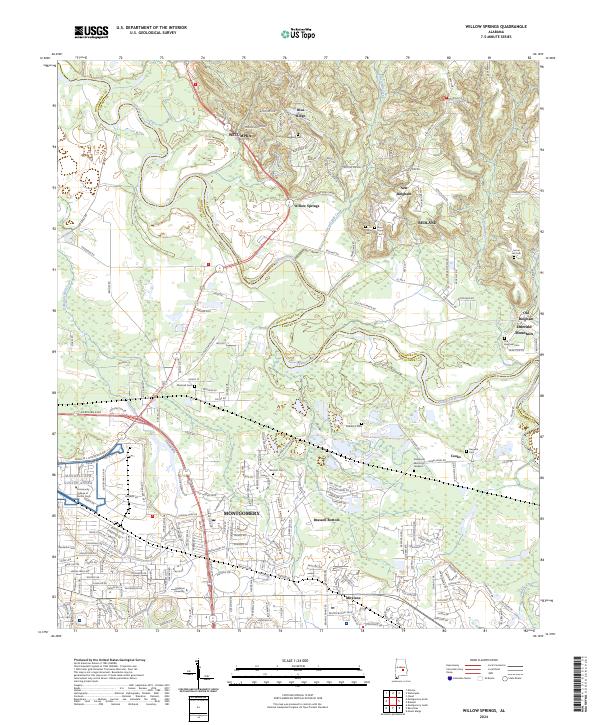
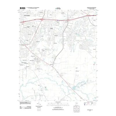
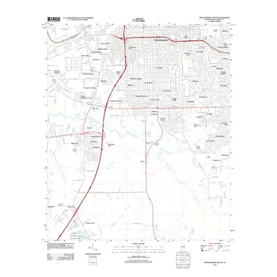
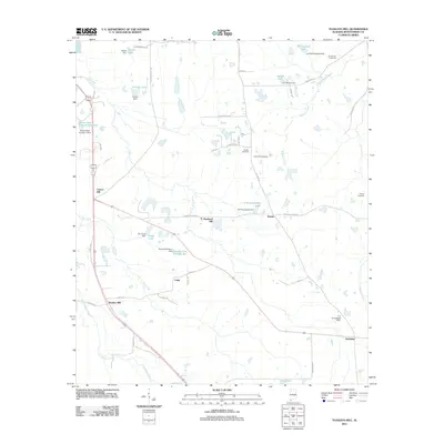
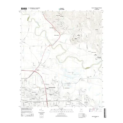
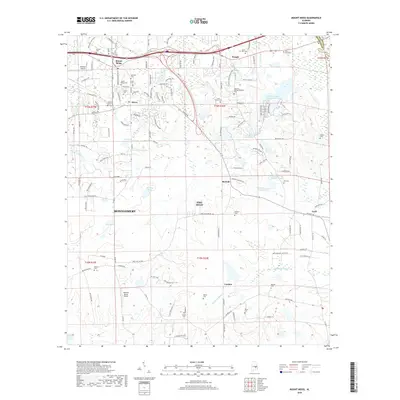
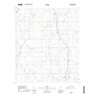
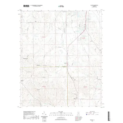
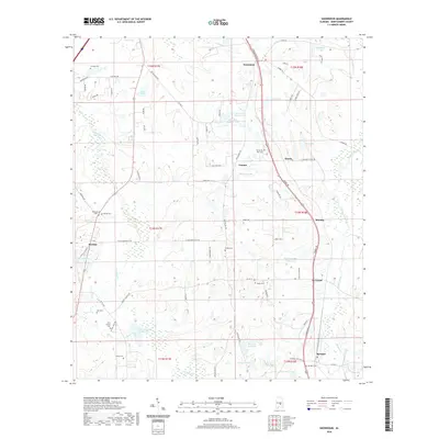
2024 Map of Willow Springs
USGS Topo · Published 2024About this map
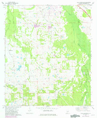
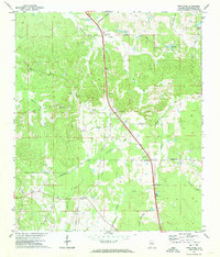
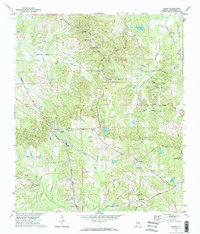
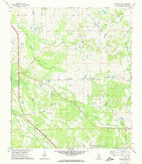
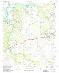
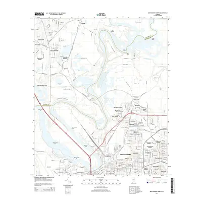
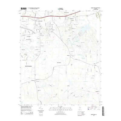
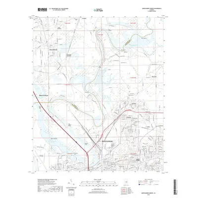
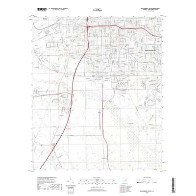
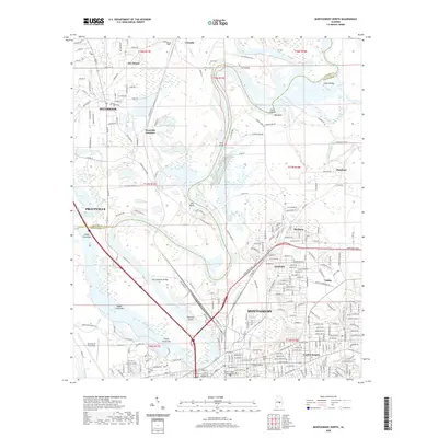
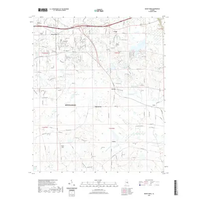
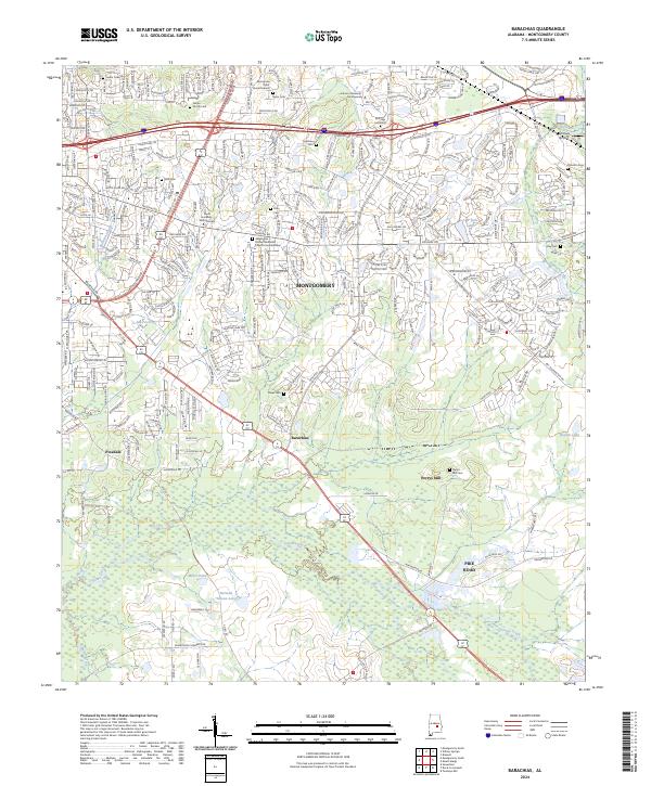
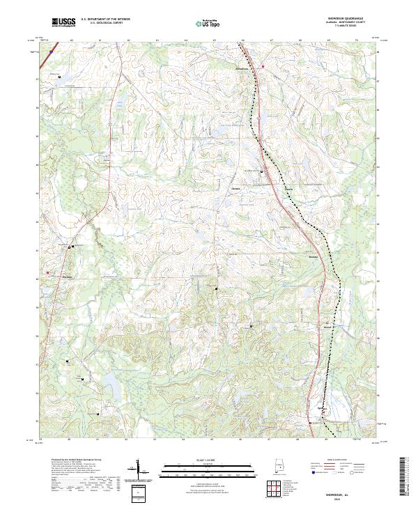
The Tallapoosa River winds through the borderlands of Elmore and Montgomery counties, anchoring a landscape where the northern reaches of Montgomery meet established settlements like Wetumpka and Redland. This modern topographic survey illustrates the density of the suburban corridor, highlighted by institutional landmarks such as Maxwell AFB Gunter Annex, Faulkner University, and the Community College of the Air Force.
Find a feature on this map
52 named features on this map. Tap any name to fly to it.
Don’t see what you’re looking for? This feature index may not catch every label — zoom into the map to look around manually.
Map Details
Editions of this 2024 Willow Springs Map
This is the sole edition of this map. No revisions or reprints were ever made.
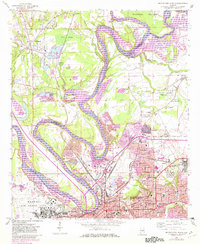
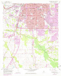
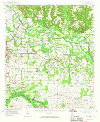
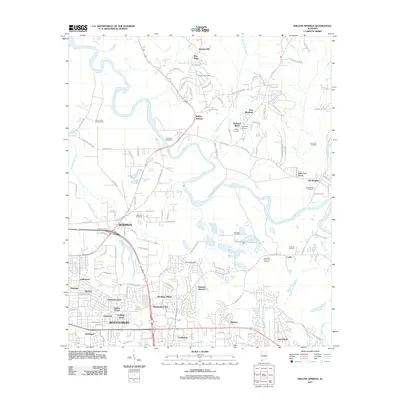
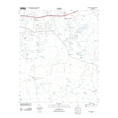
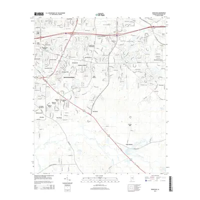
Historical Maps of Montgomery Through Time
80 maps found

1957 Letohatchee
Montgomery County, AL
1958 Montgomery North
Montgomery County, AL
1958 Montgomery South
Montgomery County, AL
1958 Mount Meigs
Montgomery County, AL
1971 Davis Crossroads
Montgomery County, AL
1971 Pine Level
Montgomery County, AL
1971 Ramer
Montgomery County, AL
1971 Teasleys Mill
Montgomery County, AL

1975 Montgomery North
Montgomery County, AL

1975 Montgomery South
Montgomery County, AL

1975 Montgomery SW
Montgomery County, AL

1975 Mount Meigs NW
Montgomery County, AL

1975 Mount Meigs SE
Montgomery County, AL

1975 Mount Meigs SW
Montgomery County, AL
1981 Cantelous
Montgomery County, AL
1981 Sellers
Montgomery County, AL
1981 Snowdoun
Montgomery County, AL

1987 Barachias
Montgomery County, AL

1987 Mount Meigs
Montgomery County, AL
1987 Willow Springs
Montgomery County, AL
2011 Barachias
Montgomery County, AL
2011 Cantelous
Montgomery County, AL
2011 Davis Crossroads
Montgomery County, AL
2011 Montgomery North
Montgomery County, AL
2011 Montgomery South
Montgomery County, AL
2011 Pine Level
Montgomery County, AL

2011 Ramer
Montgomery County, AL
2011 Sellers
Montgomery County, AL
2011 Snowdoun
Montgomery County, AL
2011 Teasleys Mill
Montgomery County, AL
2011 Willow Springs
Montgomery County, AL
2012 Mount Meigs
Montgomery County, AL
2014 Barachias
Montgomery County, AL
2014 Cantelous
Montgomery County, AL
2014 Davis Crossroads
Montgomery County, AL
2014 Montgomery North
Montgomery County, AL
2014 Montgomery South
Montgomery County, AL
2014 Mount Meigs
Montgomery County, AL
2014 Pine Level
Montgomery County, AL
2014 Ramer
Montgomery County, AL
2014 Sellers
Montgomery County, AL
2014 Snowdoun
Montgomery County, AL
2014 Teasleys Mill
Montgomery County, AL
2014 Willow Springs
Montgomery County, AL
2018 Barachias
Montgomery County, AL
2018 Cantelous
Montgomery County, AL
2018 Davis Crossroads
Montgomery County, AL
2018 Montgomery North
Montgomery County, AL
2018 Montgomery South
Montgomery County, AL
2018 Mount Meigs
Montgomery County, AL
2018 Pine Level
Montgomery County, AL
2018 Ramer
Montgomery County, AL
2018 Sellers
Montgomery County, AL
2018 Snowdoun
Montgomery County, AL
2018 Teasleys Mill
Montgomery County, AL
2018 Willow Springs
Montgomery County, AL
2020 Barachias
Montgomery County, AL
2020 Cantelous
Montgomery County, AL
2020 Davis Crossroads
Montgomery County, AL
2020 Montgomery North
Montgomery County, AL
2020 Montgomery South
Montgomery County, AL
2020 Mount Meigs
Montgomery County, AL
2020 Pine Level
Montgomery County, AL
2020 Ramer
Montgomery County, AL
2020 Sellers
Montgomery County, AL
2020 Snowdoun
Montgomery County, AL
2020 Teasleys Mill
Montgomery County, AL
2020 Willow Springs
Montgomery County, AL
2024 Barachias
Montgomery County, AL
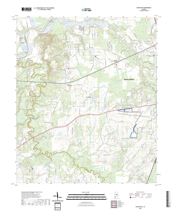
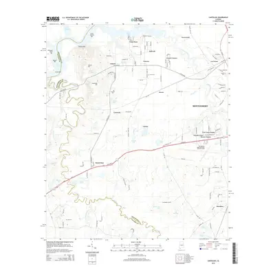
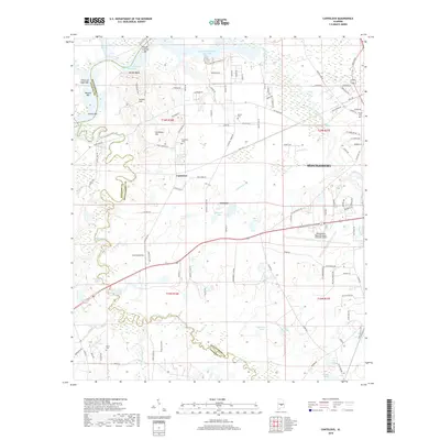
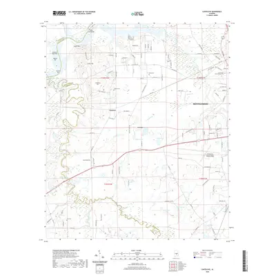
2024 Cantelous
Montgomery County, AL
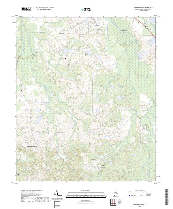
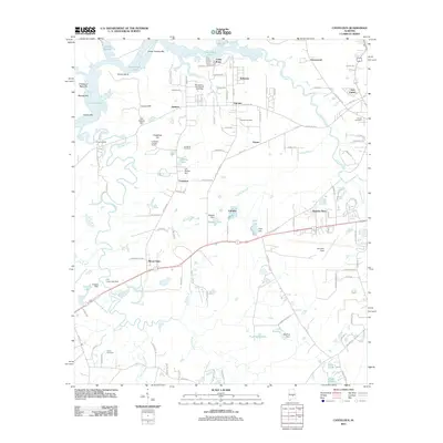
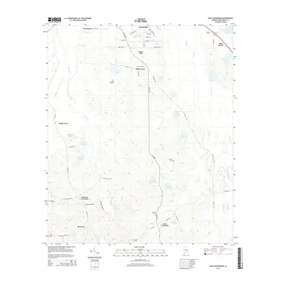
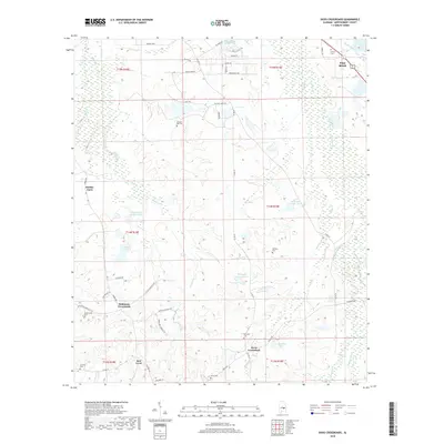
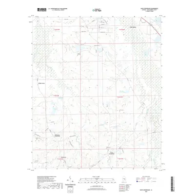
2024 Davis Crossroads
Montgomery County, AL
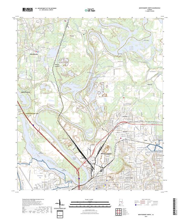
2024 Montgomery North
Montgomery County, AL
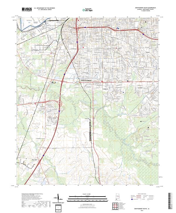
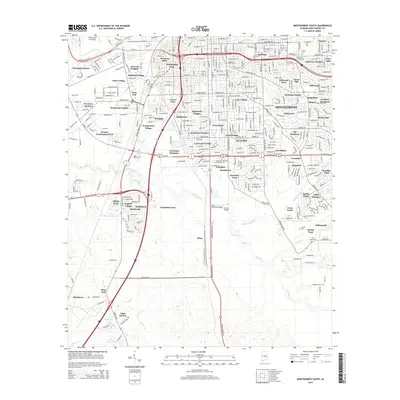
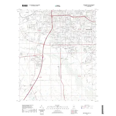
2024 Montgomery South
Montgomery County, AL
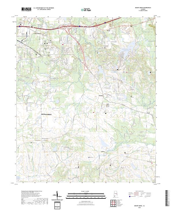
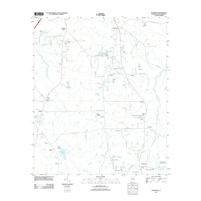
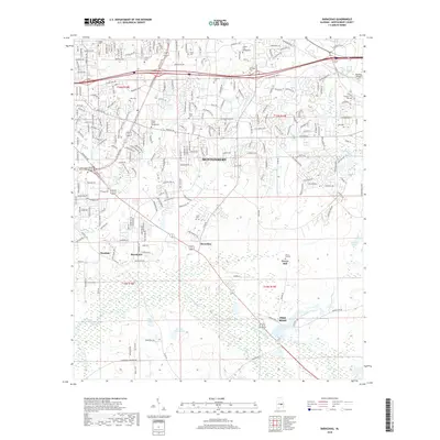
2024 Mount Meigs
Montgomery County, AL
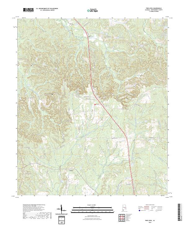
2024 Pine Level
Montgomery County, AL
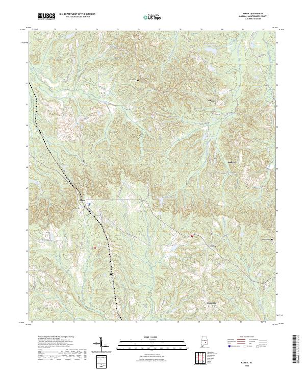
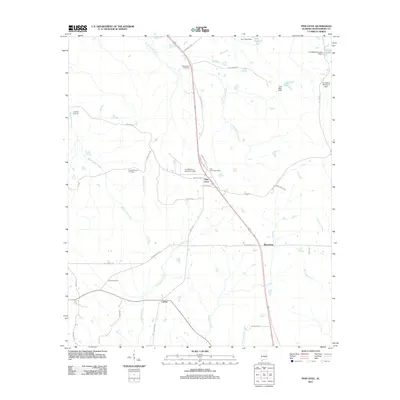
2024 Ramer
Montgomery County, AL
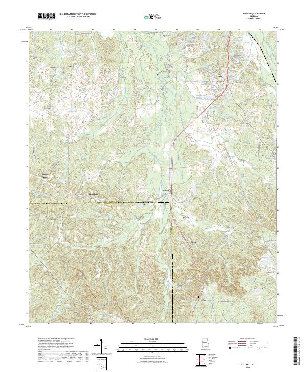
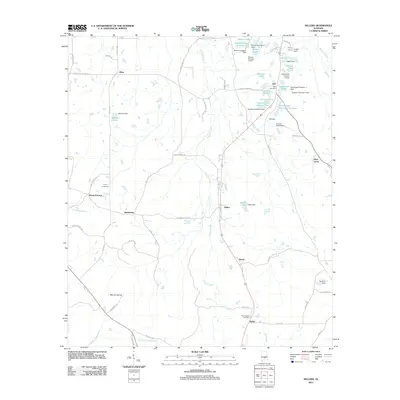
2024 Sellers
Montgomery County, AL
2024 Snowdoun
Montgomery County, AL
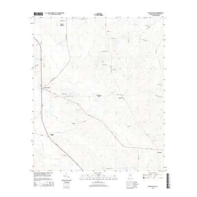
2024 Teasleys Mill
Montgomery County, AL
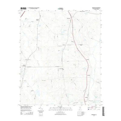
2024 Willow Springs
Montgomery County, AL