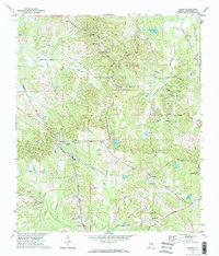
1971 Map of Ramer
USGS Topo · Published 1974About this map
Ramer serves as the primary hub of this Montgomery County landscape, situated at the junction of the Seaboard Coast Line and several rural thoroughfares during the early 1970s. The town's community infrastructure is well-defined, featuring the County High Sch and Dunbar Sch, alongside the Weeping Mary Ch and a nearby cemetery. To the north, the Mike Green Lookout Tower and a prominent water tank stand near Chesser Cem, marking the higher ground of the watershed where Ramer Creek and Sandy Creek originate.
Find a feature on this map
51 named features on this map. Tap any name to fly to it.
Don’t see what you’re looking for? This feature index may not catch every label — zoom into the map to look around manually.
Map Details
Editions of this 1971 Ramer Map
2 editions found
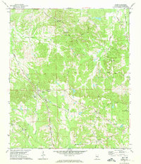
Other maps of this area

1953 · Montgomery
USGS Topo · 1:250,000

1953 · Andalusia
USGS Topo · 1:250,000

1956 · Montgomery
USGS Topo · 1:250,000

1957 · Montgomery
USGS Topo · 1:250,000

1957 · Andalusia
USGS Topo · 1:250,000

1957 · Letohatchee
USGS Topo · 1:62,500
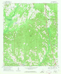
1968 · Ansley
USGS Topo · 1:24,000

1968 · Grady
USGS Topo · 1:24,000

1971 · Davis Crossroads
USGS Topo · 1:24,000
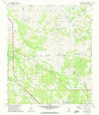
1971 · Teasleys Mill
USGS Topo · 1:24,000