
1971 Map of Davis Crossroads
USGS Topo · Published 1974About this map
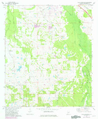
Davis Crossroads and the surrounding Montgomery County countryside appear as a network of rural homesteads and family-named landmarks in this early 1970s survey. The landscape is defined by its social centers, including numerous country churches such as Jericho Ch, Bethelonnia Ch, and Mt Zion Ch, which often served as the primary gathering points for these farming communities. The road system, including Woodley Road and Hance Mill Road, connects scattered settlements like Robinson Crossroads and Red Level.
Find a feature on this map
36 named features on this map. Tap any name to fly to it.
Don’t see what you’re looking for? This feature index may not catch every label — zoom into the map to look around manually.
Map Details
Editions of this 1971 Davis Crossroads Map
2 editions found
Other maps of this area

1927 · Montgomery
USGS Topo · 1:48,000

1930 · Montgomery
USGS Topo · 1:62,500

1953 · Montgomery
USGS Topo · 1:250,000

1956 · Montgomery
USGS Topo · 1:250,000

1957 · Montgomery
USGS Topo · 1:250,000

1957 · Letohatchee
USGS Topo · 1:62,500

1958 · Montgomery
USGS Topo · 1:62,500

1958 · Montgomery South
USGS Topo · 1:24,000

1958 · Mount Meigs
USGS Topo · 1:62,500
1971 · Teasleys Mill
USGS Topo · 1:24,000