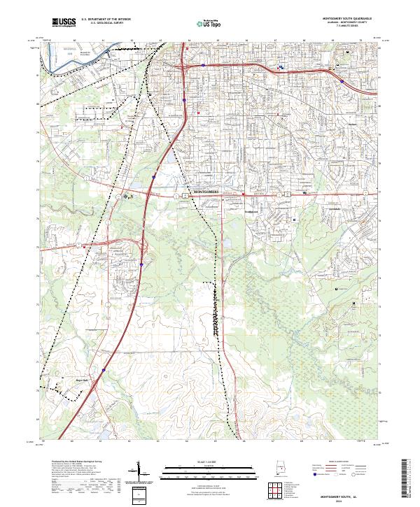
2024 Map of Montgomery South
USGS Topo · Published 2024About this map
Alabama State University and Huntingdon College stand as central landmarks in this detailed view of the Alabama capital's southern expansion. The landscape transitions from the urban density of Montgomery and the Montgomery County Courthouse toward more dispersed communities such as Southmont, Lynndale, and Wiley. This progression highlights the 20th-century growth patterns along the major transit corridors of I-65 and US Hwy 31.
Find a feature on this map
42 named features on this map. Tap any name to fly to it.
Don’t see what you’re looking for? This feature index may not catch every label — zoom into the map to look around manually.
Map Details
Editions of this 2024 Montgomery South Map
This is the sole edition of this map. No revisions or reprints were ever made.
Other maps of this area

1927 · Montgomery
USGS Topo · 1:48,000

1930 · Montgomery
USGS Topo · 1:62,500

1953 · Montgomery
USGS Topo · 1:250,000

1956 · Montgomery
USGS Topo · 1:250,000

1957 · Montgomery
USGS Topo · 1:250,000

1957 · Letohatchee
USGS Topo · 1:62,500

1958 · Montgomery
USGS Topo · 1:62,500

1958 · Montgomery North
USGS Topo · 1:24,000

1958 · Montgomery South
USGS Topo · 1:24,000

1958 · Mount Meigs
USGS Topo · 1:62,500