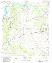
1981 Map of Cantelous
USGS Topo · Published 1984About this map
The Alabama River carves the northern boundary of this landscape, winding past Jones Bluff and Durant Bend. To the south, the terrain transitions into a dense network of waterways including Pintlalla Creek and Catoma Creek, which define the low-lying areas near Jacobs Swamp. This 1981 survey documents the intersection of rural Montgomery County life with growing infrastructure, from the family-named landmarks like Cantelous Hill and Gunter Hill to the sprawling operations at Dannelly Field.
Find a feature on this map
80 named features on this map. Tap any name to fly to it.
Don’t see what you’re looking for? This feature index may not catch every label — zoom into the map to look around manually.
Map Details
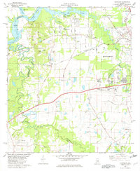
Editions of this 1981 Cantelous Map
2 editions found
Other maps of this area

1927 · Montgomery
USGS Topo · 1:48,000

1930 · Montgomery
USGS Topo · 1:62,500

1953 · Montgomery
USGS Topo · 1:250,000

1956 · Montgomery
USGS Topo · 1:250,000

1957 · Montgomery
USGS Topo · 1:250,000

1957 · Letohatchee
USGS Topo · 1:62,500

1957 · Autaugaville
USGS Topo · 1:62,500

1958 · Montgomery
USGS Topo · 1:62,500

1958 · Montgomery North
USGS Topo · 1:24,000

1958 · Montgomery South
USGS Topo · 1:24,000