Old Maps of Pike Road, Alabama for Academic Research
Study the evolution of Pike Road with 48 high-resolution historic maps. Whether you're teaching, researching, or modeling changes in land use, these maps provide essential visual documentation of urban, environmental, and geographic change.
- Analyze long-term change: Track patterns in development, transportation, and natural features.
- Ideal for environmental or urban studies: Support academic projects with primary historical map data.
- Use in the classroom or lab: Educators and researchers rely on these maps to bring historical context to life.
These maps are a powerful tool for teaching, research, and visualizing how Pike Road has changed over the decades.
Pike Road, AL maps
(48)- 1953 Map of Montgomery, 1964 Print
 1953 Montgomery1964 Print · USGSCentral Alabama's river-and-rail corridor is mapped here in the mid-fifties, showing the vital connections between the capital and the Black Belt. Genealogists and historians can trace rail depots and crossroads from Marion Junction to Wetumpka, alongside landmarks like Craig AFB.4 unique versions available
 - 1955 Map of Phenix City, 1964 Print
 1955 Phenix City1964 Print · USGSPost-war Alabama and Georgia meet along the Chattahoochee River as industry and military installations expand. Trace the rail lines of the Central of Georgia through towns like Opelika, Tuskegee, and Alexander City.3 unique versions available
 - 1956 Map of Montgomery
 1956 Montgomery1956 Print · USGSCentral Alabama in the mid-1950s shows a landscape defined by its great river systems and a booming military aviation presence. Genealogists and historians can trace the rail corridors of the Southern Railway and locate tactical bases like Maxwell AFB and Craig AFB.
 - 1957 Map of Phenix City
 1957 Phenix City1957 Print · USGSThe Alabama-Georgia borderlands are captured here in the mid-fifties, centered on the bustling river crossing at Phenix City and Columbus. Researchers can trace the mid-century footprint of the Fort Benning Military Reservation or locate smaller textile and railroad towns like Langdale and Camp Hill.
 - 1957 Map of Montgomery
 1957 Montgomery1957 Print · USGSCentral Alabama in the mid-fifties is defined by the winding Alabama River and a strategic network of military bases and rail lines. Trace family roots in Montgomery and Selma, or locate landmarks like Craig AFB and the State Capitol before the interstate era.
 - 1958 Map of Phenix City
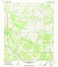
 1958 Phenix City1958 Print · USGSThe Alabama-Georgia borderlands thrive during the late fifties, anchored by the river-driven industry of Columbus and Phenix City. Researchers can trace the mid-century footprints of Fort Benning, Auburn, and the textile towns of Fairfax and Lanett.
 - 1958 Map of Mount Meigs, 1959 Print
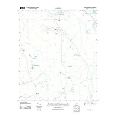
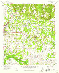 1958 Mount Meigs1959 Print · USGSMontgomery County was a hive of rail and river activity in the late fifties as the state capital expanded eastward. Researchers can trace family-named sites and rural institutions like Pike Road, Our Lady of Fatima Sch, and the riverside Indian Mounds.2 unique versions available
 - 1971 Map of Davis Crossroads, 1974 Print
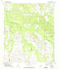
 1971 Davis Crossroads1974 Print · USGSMontgomery County was a landscape of quiet farming communities and family-named landmarks during the early seventies. Genealogists can trace rural homesteads near Hobbie Farm, find family burial sites like Underwood Cem, and locate country churches including Jericho Ch.2 unique versions available
 - 1971 Map of Chesson, 1974 Print
 1971 Chesson1974 Print · USGSMacon County's rural landscape is captured here in the early seventies, where rail lines and treaty boundaries still define the local geography. Researchers can trace family roots at Mt Zion Ch, locate the settlement of Chesson, or follow the historic Indian Treaty Boundary.2 unique versions available
 - 1971 Map of Teasleys Mill, 1974 Print
 1971 Teasleys Mill1974 Print · USGSMontgomery County’s rural countryside is captured in the early seventies as small farming communities and country roads defined the landscape. Genealogists can trace family footprints through numerous local landmarks like Elisabeth Ch, Teasleys Mill, and the Panhandle Cem.2 unique versions available
 - 1975 Map of Mount Meigs SE, 1977 Print
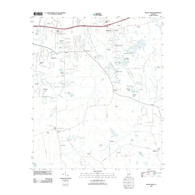
 1975 Mount Meigs SE1977 Print · USGSThe rural landscape east of Montgomery is captured in high detail in the mid-1970s, showcasing the agricultural patterns of central Alabama. Researchers can trace the exact footprints of settlements like Mount Meigs, Pike Road, and Waugh across the varied terrain.
 - 1975 Map of Mount Meigs SW, 1977 Print
 1975 Mount Meigs SW1977 Print · USGSThe rural landscape east of Montgomery appears in this mid-1970s aerial survey just as highway development began to reshape the region. Researchers can trace land use patterns and property lines near the Interstate 85 corridor and surrounding agricultural tracts.
 - 1975 Map of Mount Meigs NE, 1977 Print
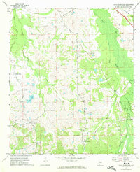
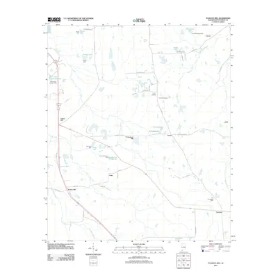
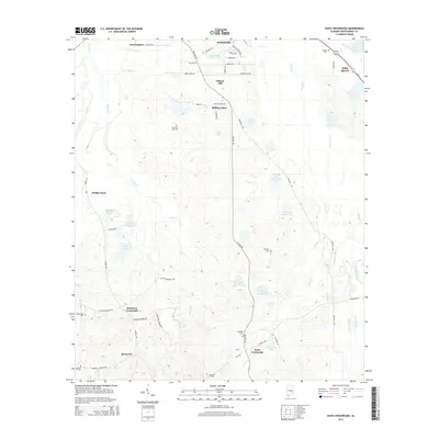
 1975 Mount Meigs NE1977 Print · USGSCovers Pike Road, including Montgomery, Emerald Mountain, and other nearby areas
 - 1981 Map of Tuskegee, 1982 Print
 1981 Tuskegee1982 Print · USGSMacon and Bullock counties are captured here in the early eighties, showcasing a landscape deeply tied to the railroad and the legacies of Tuskegee Institute. Researchers can locate specific sites from Moton Field to rural settlements along the Seaboard Coast Line like Hurtsboro and Pittsview.2 unique versions available
 - 1986 Map of Montgomery
 1986 Montgomery1986 Print · USGSCentral Alabama's river-and-rail corridor is captured in the mid-1980s, centered on the state capital and its surrounding rural counties. Researchers can trace ancestral landmarks like Oakwood Cemetery, military sites like Maxwell Air Force Base, and small towns such as Lowndesboro.2 unique versions available
 - 1987 Map of Barachias
 1987 Barachias1987 Print · USGSSoutheast of Montgomery in the late 1980s, the rural-urban fringe shows a landscape of expanding schools and deep-rooted family landmarks. Genealogists and historians can trace numerous sites like Perrys Mill, the Jackson Prospect Cem, and Macedonia Ch.2 unique versions available
 - 1987 Map of Mount Meigs
 1987 Mount Meigs1987 Print · USGSEastern Montgomery County is captured in the late eighties as its rural crossroads began to evolve. Genealogists can trace family landmarks like Antioch Cem and Birch Hill Cem alongside the tracks of the SOUTHERN and CSX railroads.
 - 1987 Map of Brassell
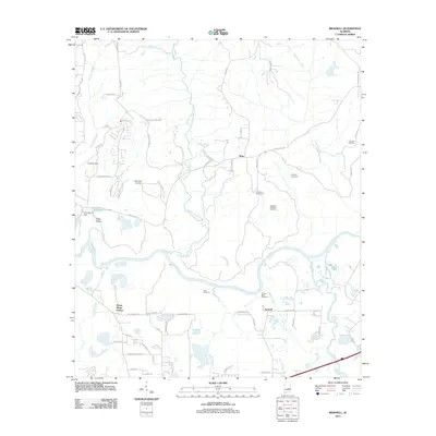
 1987 Brassell1987 Print · USGSAlabama's river-bottom lands near the meeting of three counties were captured in detail during the late 1980s. Researchers can trace family sites like Dawson Bradford Cem and Cathmagby Ch or locate the Mount Meigs (Sta) along the CSX rail line.
 - 2011 Map of Chesson, 2011 Print
 2011 Chesson2011 Print · USGSCovers Pike Road, including Shorter, Chesson, and other nearby areas
 - 2011 Map of Barachias, 2011 Print
 2011 Barachias2011 Print · USGSCovers Pike Road, including Montgomery, Pinedale, and other nearby areas
 - 2011 Map of Teasleys Mill, 2011 Print
 2011 Teasleys Mill2011 Print · USGSCovers Pike Road, including Mamie, Downing, and other nearby areas
 - 2011 Map of Brassell, 2011 Print
 2011 Brassell2011 Print · USGSCovers Pike Road, including Montgomery, Emerald Mountain, and other nearby areas
 - 2011 Map of Davis Crossroads, 2011 Print
 2011 Davis Crossroads2011 Print · USGSCovers Pike Road, including Doral Estates, Rolling Lakes, and other nearby areas
 - 2012 Map of Mount Meigs, 2012 Print
 2012 Mount Meigs2012 Print · USGSCovers Pike Road, including Montgomery, Knollwood, and other nearby areas
 - 2014 Map of Davis Crossroads, 2014 Print
 2014 Davis Crossroads2014 Print · USGSCovers Pike Road, including Doral Estates, Rolling Lakes, and other nearby areas
Showing maps 1-25 of 48
Top cities near Pike Road
- Montgomery historical maps
- Wetumpka historical maps
- Tallassee historical maps
- Emerald Mountain historical maps
- Blue Ridge historical maps
- Elmore historical maps
See more
Top neighborhoods of Pike Road
- Knollwood historical maps
- Eastwood Villa historical maps
- Foxchase historical maps
- McDade historical maps
- Merry historical maps
- Foxwood historical maps
See more
Frequently asked questions
- What are the different types of historical maps available for Pike Road?
- What is the oldest map of Pike Road?
- Where can I purchase historical maps of Pike Road for my home or office?
- Where can I download high-res historical maps of Pike Road?
- Are there historical topographic maps available for Pike Road?
- Is there historical aerial imagery available for Pike Road?
- Where are historical maps of Pike Road sourced from?