2000s (21st Century) Maps of Oxford, Alabama
Explore 39 historic maps of Oxford from the 2000s (21st Century). These maps offer a rare glimpse into what life looked like during the 2000s — showing old roads, neighborhoods, homes, and landmarks that have changed or disappeared over time.
Whether you're researching your family's past, planning a metal detecting trip, or studying how Oxford's landscape evolved across the 2000s, these high-resolution maps are a powerful tool for exploring the history of this region.
- Focus on a specific era: All maps on this page are from the 2000s, giving you a focused view of this time period.
- See what’s changed: Compare century-old streets, trails, and buildings to today's modern landscape using overlays and satellite layers.
- Research with precision: Use these maps for genealogy, historical research, land use analysis, or educational projects.
- View, download, or print: Maps are fully viewable online in high resolution, and can be downloaded or printed for your own records.
Start exploring Oxford's history through authentic maps from the 2000s. This is your window into the past.
Oxford, AL maps
(39)- 2001 Map of Choccolocco, 2004 Print
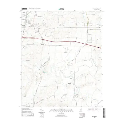
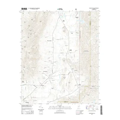
 2001 Choccolocco2004 Print · USGSCalhoun and Cleburne counties are captured here at the start of the millennium, showing a landscape defined by deep forests and mountain ridges. Genealogists can trace family names at Hanna Cem, Whitesides Mill, and Old Davisville.
 - 2001 Map of Munford, 2004 Print
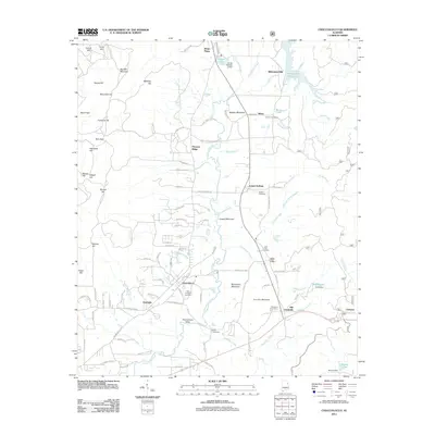
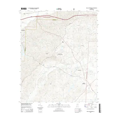
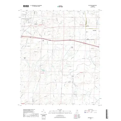
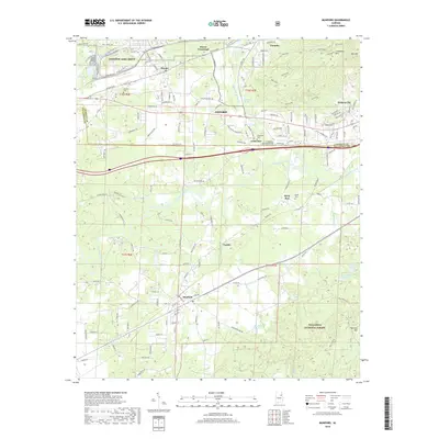
 2001 Munford2004 Print · USGSThe borderlands of Calhoun and Talladega counties are shown here at the turn of the millennium, where the Talladega National Forest meets industrial centers. Local researchers can trace family sites like Sweet Home Sch, Halls Grove Ch, and the community of Jenifer.
 - 2001 Map of Oxford, 2004 Print
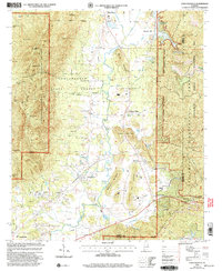
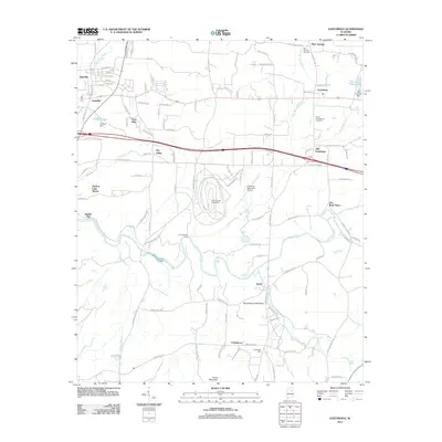
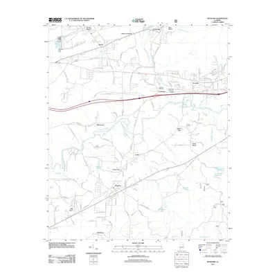
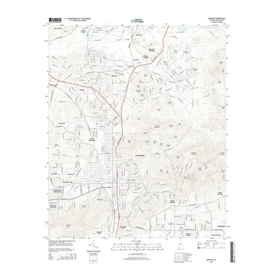
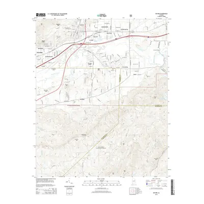
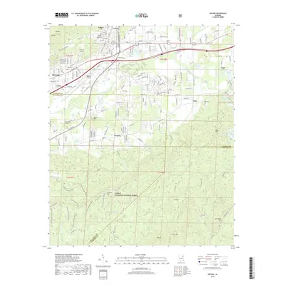
 2001 Oxford2004 Print · USGSThe northern industrial corridor of Oxford and Anniston meets the deep woods of the National Forest at the turn of the millennium. Genealogists can trace local landmarks like Hobson City, the County Training Sch, and Antioch Ch.
 - 2001 Map of Hollis Crossroads, 2004 Print
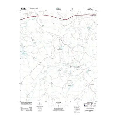
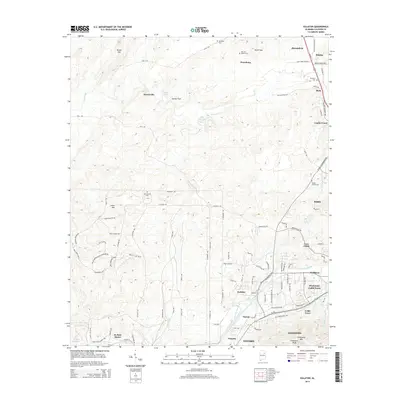
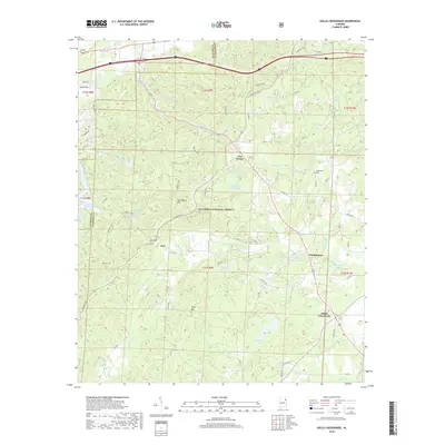
 2001 Hollis Crossroads2004 Print · USGSThe foothills of eastern Alabama come into focus in the early 2000s, showing a landscape defined by the Talladega National Forest. Genealogists can trace family roots through rural landmarks like Chulafinnee, Bethlehem Ch, and Liberty Hill Cem Ch.
 - 2011 Map of Eastaboga, 2011 Print
 2011 Eastaboga2011 Print · USGSCovers Oxford, including Lincoln, Plum Springs, and other nearby areas
 - 2011 Map of Eulaton, 2011 Print
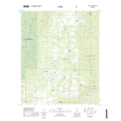
 2011 Eulaton2011 Print · USGSCovers Oxford, including Anniston, Cane Creek, and other nearby areas
 - 2011 Map of Anniston, 2011 Print
 2011 Anniston2011 Print · USGSCovers Oxford, including Anniston, Saks, and other nearby areas
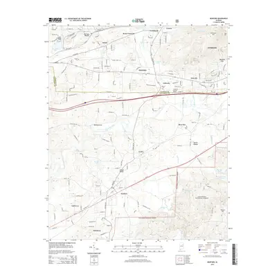
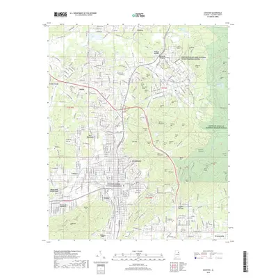
 - 2011 Map of Oxford, 2011 Print
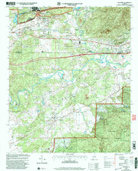
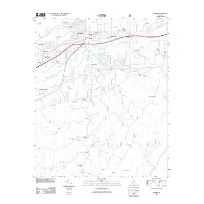 2011 Oxford2011 Print · USGSCovers Oxford, including Anniston, Hobson City, and other nearby areas
 - 2011 Map of Munford, 2011 Print
 2011 Munford2011 Print · USGSCovers Oxford, including Anniston, Munford, and other nearby areas
 - 2011 Map of Choccolocco, 2011 Print
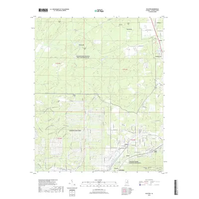
 2011 Choccolocco2011 Print · USGSCovers Oxford, including Choccolocco, White Plains, and other nearby areas
 - 2011 Map of Hollis Crossroads, 2011 Print
 2011 Hollis Crossroads2011 Print · USGSCovers Oxford, including Hollis Crossroads, Five Points, and other nearby areas
 - 2014 Map of Eastaboga, 2014 Print
 2014 Eastaboga2014 Print · USGSCovers Oxford, including Lincoln, Plum Springs, and other nearby areas
 - 2014 Map of Anniston, 2014 Print
 2014 Anniston2014 Print · USGSCovers Oxford, including Anniston, Saks, and other nearby areas
 - 2014 Map of Hollis Crossroads, 2014 Print
 2014 Hollis Crossroads2014 Print · USGSCovers Oxford, including Hollis Crossroads, Five Points, and other nearby areas
 - 2014 Map of Choccolocco, 2014 Print
 2014 Choccolocco2014 Print · USGSCovers Oxford, including Choccolocco, White Plains, and other nearby areas
 - 2014 Map of Munford, 2014 Print
 2014 Munford2014 Print · USGSCovers Oxford, including Anniston, Munford, and other nearby areas
 - 2014 Map of Oxford, 2014 Print
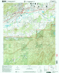
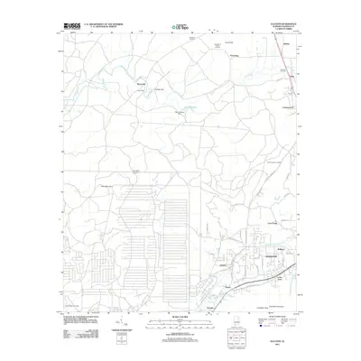
 2014 Oxford2014 Print · USGSCovers Oxford, including Anniston, Hobson City, and other nearby areas
 - 2014 Map of Eulaton, 2014 Print
 2014 Eulaton2014 Print · USGSCovers Oxford, including Anniston, Cane Creek, and other nearby areas
 - 2018 Map of Choccolocco, 2018 Print
 2018 Choccolocco2018 Print · USGSCovers Oxford, including Choccolocco, White Plains, and other nearby areas
 - 2018 Map of Eulaton, 2018 Print
 2018 Eulaton2018 Print · USGSCovers Oxford, including Anniston, Cane Creek, and other nearby areas
 - 2018 Map of Hollis Crossroads, 2018 Print
 2018 Hollis Crossroads2018 Print · USGSCovers Oxford, including Hollis Crossroads, Five Points, and other nearby areas
 - 2018 Map of Eastaboga, 2018 Print
 2018 Eastaboga2018 Print · USGSCovers Oxford, including Lincoln, Plum Springs, and other nearby areas
 - 2018 Map of Oxford, 2018 Print
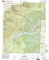
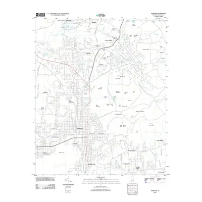
 2018 Oxford2018 Print · USGSCovers Oxford, including Anniston, Hobson City, and other nearby areas
 - 2018 Map of Anniston, 2018 Print
 2018 Anniston2018 Print · USGSCovers Oxford, including Anniston, Saks, and other nearby areas
 - 2018 Map of Munford, 2018 Print
 2018 Munford2018 Print · USGSCovers Oxford, including Anniston, Munford, and other nearby areas
Showing maps 1-25 of 39
Top cities near Oxford
- Anniston historical maps
- Talladega historical maps
- Jacksonville historical maps
- Saks historical maps
- Lincoln historical maps
- Weaver historical maps
See more
Top neighborhoods of Oxford
- DeArmanville historical maps
- Oak Hill historical maps
- McKibben historical maps
- Gauldinville historical maps
- New Haven historical maps
- Bynum historical maps
See more
Frequently asked questions
- What are the different types of historical maps available for Oxford?
- What is the oldest map of Oxford?
- Where can I purchase historical maps of Oxford for my home or office?
- Where can I download high-res historical maps of Oxford?
- Are there historical topographic maps available for Oxford?
- Is there historical aerial imagery available for Oxford?
- Where are historical maps of Oxford sourced from?