2020s Maps of Perry County, Alabama
Explore 46 historic maps of Perry County from the 2020s. These maps offer a rare glimpse into what life looked like during the 2020s — showing old roads, neighborhoods, homes, and landmarks that have changed or disappeared over time.
Whether you're researching your family's past, planning a metal detecting trip, or studying how Perry County's landscape evolved across the 2020s, these high-resolution maps are a powerful tool for exploring the history of this region.
- Focus on a specific era: All maps on this page are from the 2020s, giving you a focused view of this time period.
- See what’s changed: Compare century-old streets, trails, and buildings to today's modern landscape using overlays and satellite layers.
- Research with precision: Use these maps for genealogy, historical research, land use analysis, or educational projects.
- View, download, or print: Maps are fully viewable online in high resolution, and can be downloaded or printed for your own records.
Start exploring Perry County's history through authentic maps from the 2020s. This is your window into the past.
Perry County, AL maps
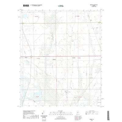
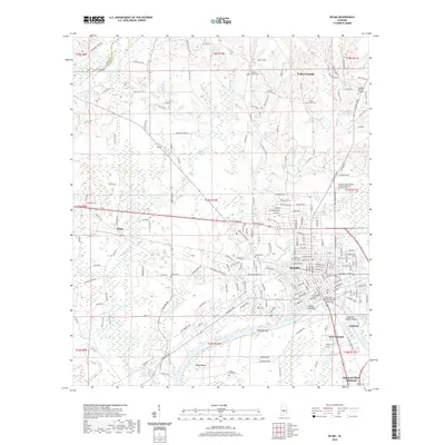
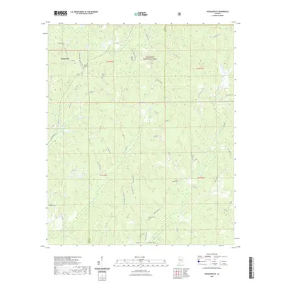
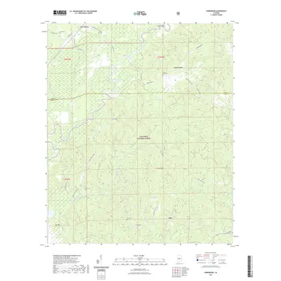
(46)- 2020 Map of Greensboro, 2020 Print
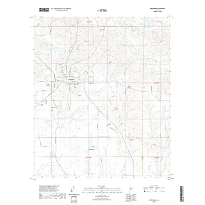 2020 Greensboro2020 Print · USGSCovers Perry County, including Greensboro, Rosemary, and other nearby areas
 - 2020 Map of Marion South, 2020 Print
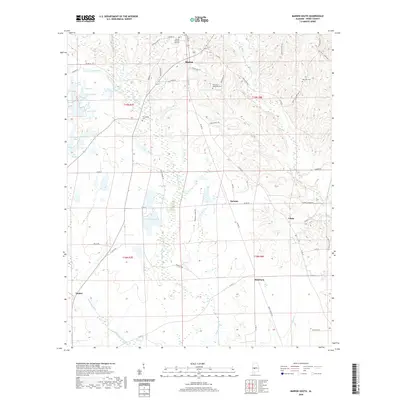 2020 Marion South2020 Print · USGSCovers Perry County, including Marion, Vaiden, and other nearby areas
 - 2020 Map of Scott Station, 2020 Print
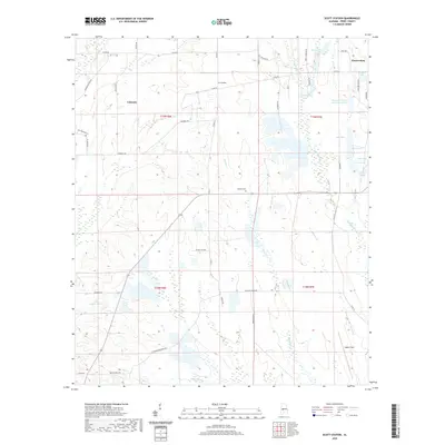 2020 Scott Station2020 Print · USGSCovers Perry County, including Zimmerman, Coleman, and other nearby areas
 - 2020 Map of Thomaston East, 2020 Print
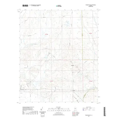 2020 Thomaston East2020 Print · USGSCovers Perry County, including Thomaston, Consul, and other nearby areas
 - 2020 Map of Browns, 2020 Print
 2020 Browns2020 Print · USGSCovers Perry County, including Nave, Browns, and other nearby areas
 - 2020 Map of Central Mills, 2020 Print
 2020 Central Mills2020 Print · USGSCovers Perry County, including Blalock, Central Mills, and other nearby areas
 - 2020 Map of Morgan Springs, 2020 Print
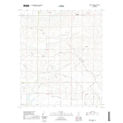 2020 Morgan Springs2020 Print · USGSCovers Perry County, including Morgan Springs, Folsom, and other nearby areas
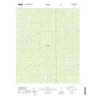
 - 2020 Map of Suttle, 2020 Print
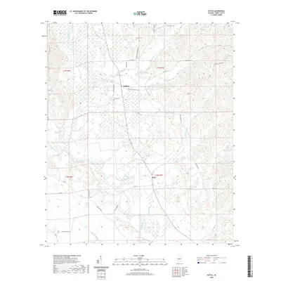 2020 Suttle2020 Print · USGSCovers Perry County, including Radford, Suttle, and other nearby areas
 - 2020 Map of Marion Junction, 2020 Print
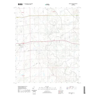 2020 Marion Junction2020 Print · USGSCovers Perry County, including Harrell, Pernell, and other nearby areas
 - 2020 Map of Uniontown East, 2020 Print
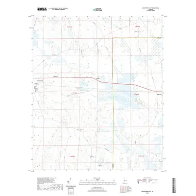 2020 Uniontown East2020 Print · USGSCovers Perry County, including Uniontown, Bellevue, and other nearby areas
 - 2020 Map of Newbern, 2020 Print
 2020 Newbern2020 Print · USGSCovers Perry County, including Newbern, Whitsitt, and other nearby areas
 - 2020 Map of Uniontown West, 2020 Print
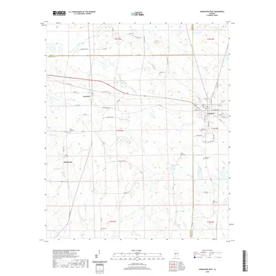 2020 Uniontown West2020 Print · USGSCovers Perry County, including Uniontown, Faunsdale, and other nearby areas
 - 2020 Map of Selma, 2020 Print
 2020 Selma2020 Print · USGSCovers Perry County, including Selma, Valley Grande, and other nearby areas
 - 2021 Map of Pondville, 2021 Print
 2021 Pondville2021 Print · USGSCovers Perry County, including Pondville, Bibb County, and other nearby areas
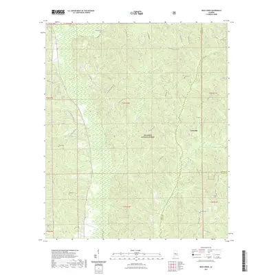
 - 2021 Map of Buck Creek, 2021 Print
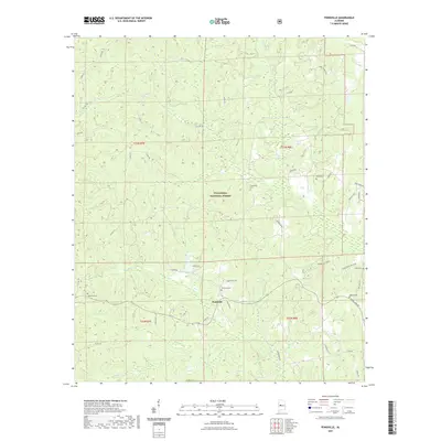
 2021 Buck Creek2021 Print · USGSCovers Perry County, including Panhandle, Chilton County, and other nearby areas
 - 2021 Map of Sprott, 2021 Print
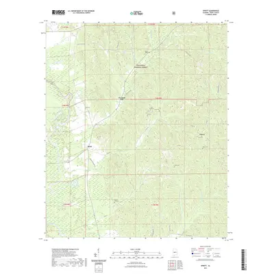 2021 Sprott2021 Print · USGSCovers Perry County, including Osborn, Cleveland Mills, and other nearby areas
 - 2021 Map of Hogglesville, 2021 Print
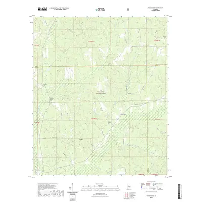
 2021 Hogglesville2021 Print · USGSCovers Perry County, including Brush Creek, Hogglesville, and other nearby areas
 - 2021 Map of Marion North, 2021 Print
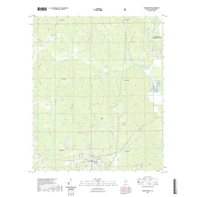 2021 Marion North2021 Print · USGSCovers Perry County, including Marion, Curbville, and other nearby areas
 - 2021 Map of Heiberger, 2021 Print
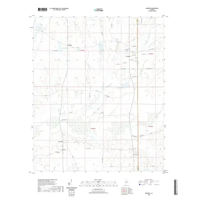
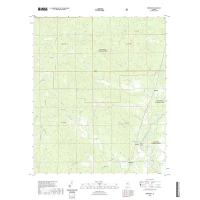 2021 Heiberger2021 Print · USGSCovers Perry County, including Ellards, Heiberger, and other nearby areas
 - 2021 Map of Oakmulgee, 2021 Print
 2021 Oakmulgee2021 Print · USGSCovers Perry County, including Oakmulgee, Tabernacle, and other nearby areas
 - 2021 Map of Harrisburg, 2021 Print
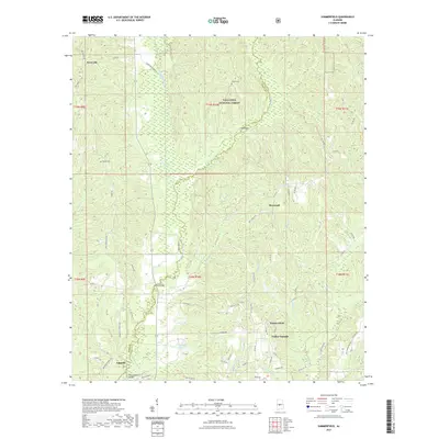
 2021 Harrisburg2021 Print · USGSCovers Perry County, including Abercrombie, Adler, and other nearby areas
 - 2021 Map of Payne Lake, 2021 Print
 2021 Payne Lake2021 Print · USGSCovers Perry County, including Mertz, Bibb County, and other nearby areas
 - 2021 Map of Summerfield, 2021 Print
 2021 Summerfield2021 Print · USGSCovers Perry County, including Valley Grande, Augustin, and other nearby areas
 - 2024 Map of Selma, 2024 Print
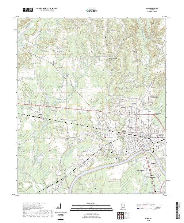 2024 Selma2024 Print · USGSSelma and its surrounding river bends are captured in this modern survey, reflecting the enduring layout of the Black Belt’s commercial and cultural hub. Genealogists can trace family landmarks through the Lincoln Cem, Bethel Ch, and the historic Dallas County Courthouse.
 - 2024 Map of Central Mills, 2024 Print
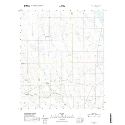
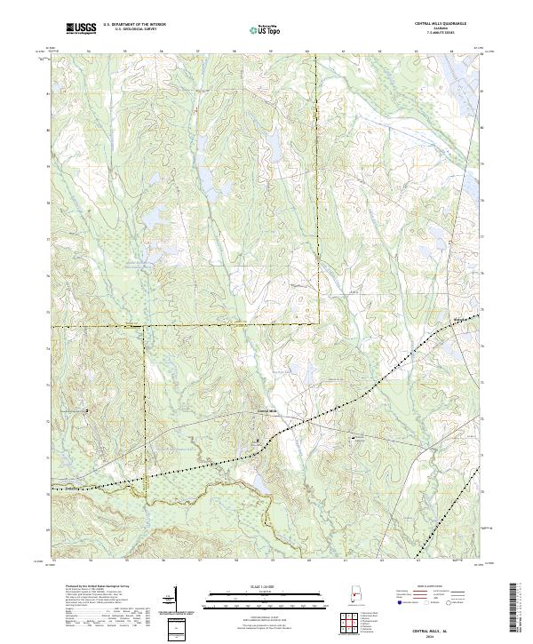 2024 Central Mills2024 Print · USGSThe rural borders of four Alabama counties meet here among the winding waters of Chilatchee Creek in the early twenty-first century. Genealogists and local historians can locate several family and community landmarks, such as Mount Zion Cem, Blalock, and New Bethel Springs Cem.
Showing maps 1-25 of 46
Top cities of Perry County
Frequently asked questions
- What are the different types of historical maps available for Perry County?
- What is the oldest map of Perry County?
- Where can I purchase historical maps of Perry County for my home or office?
- Where can I download high-res historical maps of Perry County?
- Are there historical topographic maps available for Perry County?
- Is there historical aerial imagery available for Perry County?
- Where are historical maps of Perry County sourced from?