2020s Maps of Pickens County, Alabama
Explore 52 historic maps of Pickens County from the 2020s. These maps offer a rare glimpse into what life looked like during the 2020s — showing old roads, neighborhoods, homes, and landmarks that have changed or disappeared over time.
Whether you're researching your family's past, planning a metal detecting trip, or studying how Pickens County's landscape evolved across the 2020s, these high-resolution maps are a powerful tool for exploring the history of this region.
- Focus on a specific era: All maps on this page are from the 2020s, giving you a focused view of this time period.
- See what’s changed: Compare century-old streets, trails, and buildings to today's modern landscape using overlays and satellite layers.
- Research with precision: Use these maps for genealogy, historical research, land use analysis, or educational projects.
- View, download, or print: Maps are fully viewable online in high resolution, and can be downloaded or printed for your own records.
Start exploring Pickens County's history through authentic maps from the 2020s. This is your window into the past.
Pickens County, AL maps
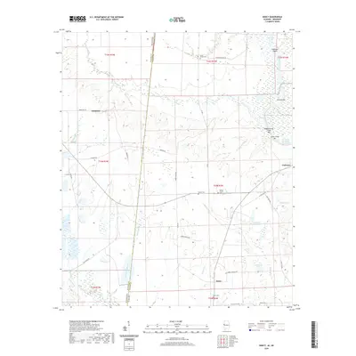
(52)- 2020 Map of Reform, 2020 Print
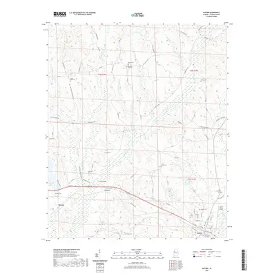 2020 Reform2020 Print · USGSCovers Pickens County, including Reform, Coal Fire, and other nearby areas
 - 2020 Map of Pickensville, 2020 Print
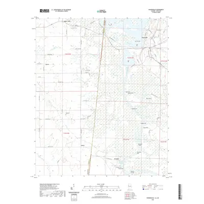 2020 Pickensville2020 Print · USGSCovers Pickens County, including Pickensville, Memphis, and other nearby areas
 - 2020 Map of Millport, 2020 Print
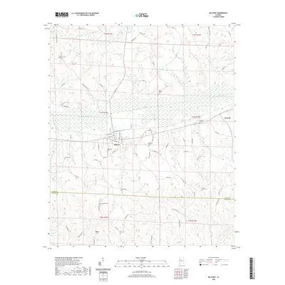 2020 Millport2020 Print · USGSCovers Pickens County, including Millport, Kennedy, and other nearby areas
 - 2020 Map of Reform SW, 2020 Print
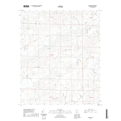 2020 Reform SW2020 Print · USGSCovers Pickens County, including Archer, Pine Grove, and other nearby areas
 - 2020 Map of Carrollton, 2020 Print
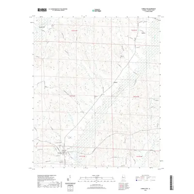 2020 Carrollton2020 Print · USGSCovers Pickens County, including Reform, Carrollton, and other nearby areas
 - 2020 Map of Panola, 2020 Print
 2020 Panola2020 Print · USGSCovers Pickens County, including Cooksville, Fair Oaks, and other nearby areas
 - 2020 Map of Pleasant Ridge, 2020 Print
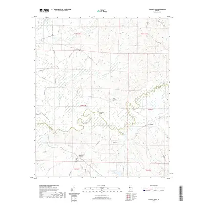 2020 Pleasant Ridge2020 Print · USGSCovers Pickens County, including Pleasant Ridge, Lewiston, and other nearby areas
 - 2020 Map of Aliceville North, 2020 Print
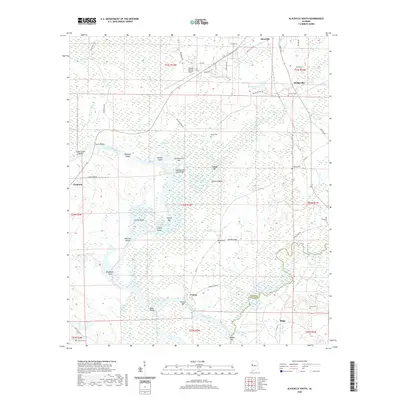
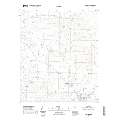 2020 Aliceville North2020 Print · USGSCovers Pickens County, including Aliceville, Pickensville, and other nearby areas
 - 2020 Map of Aliceville South, 2020 Print
 2020 Aliceville South2020 Print · USGSCovers Pickens County, including Aliceville, Vienna, and other nearby areas
 - 2020 Map of Ethelsville, 2020 Print
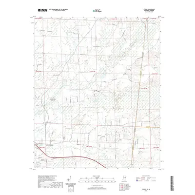
 2020 Ethelsville2020 Print · USGSCovers Pickens County, including Macedonia, Ethelsville, and other nearby areas
 - 2020 Map of Warsaw, 2020 Print
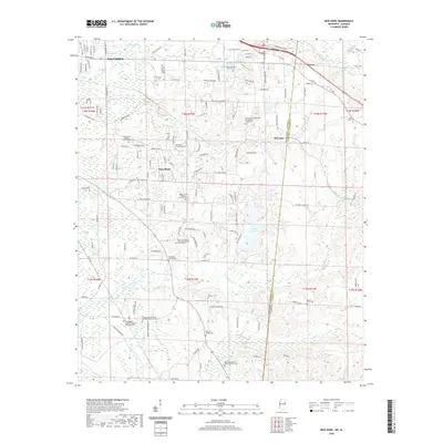
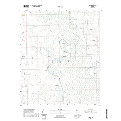 2020 Warsaw2020 Print · USGSCovers Pickens County, including Warsaw, New West Greene, and other nearby areas
 - 2020 Map of Fernbank, 2020 Print
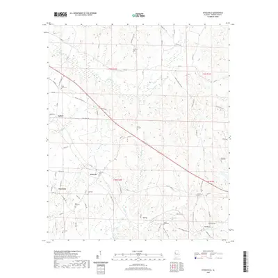
 2020 Fernbank2020 Print · USGSCovers Pickens County, including Melborne, Fernbank, and other nearby areas
 - 2020 Map of Dancy, 2020 Print
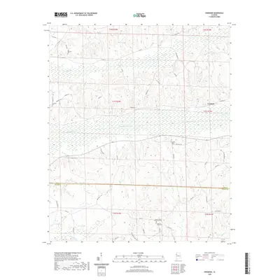
 2020 Dancy2020 Print · USGSCovers Pickens County, including Dinsmore, Dancy, and other nearby areas
 - 2020 Map of Cunningham, 2020 Print
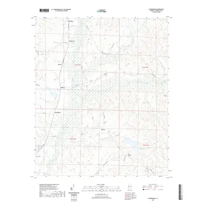 2020 Cunningham2020 Print · USGSCovers Pickens County, including Carrollton, Hickory, and other nearby areas
 - 2020 Map of Brownville, 2020 Print
 2020 Brownville2020 Print · USGSCovers Pickens County, including Lubbub, Brownville, and other nearby areas
 - 2020 Map of Palmetto, 2020 Print
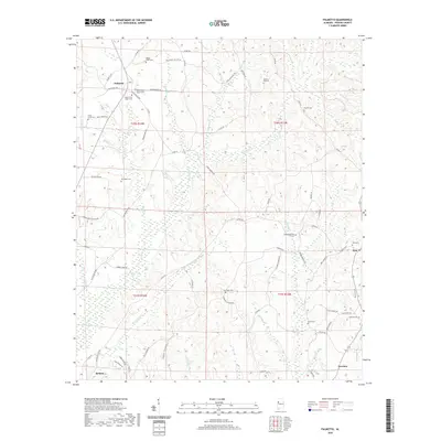 2020 Palmetto2020 Print · USGSCovers Pickens County, including Reform, Palmetto, and other nearby areas
 - 2020 Map of Kirk, 2020 Print
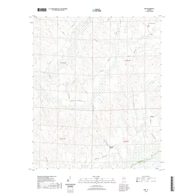 2020 Kirk2020 Print · USGSCovers Pickens County, including Kirk, Pioneer, and other nearby areas
 - 2020 Map of Newtonville, 2020 Print
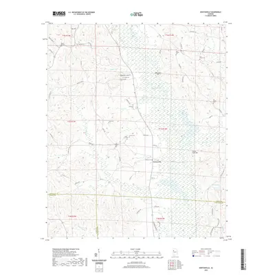 2020 Newtonville2020 Print · USGSCovers Pickens County, including Jerusalem, Newtonville, and other nearby areas
 - 2020 Map of Mantua, 2020 Print
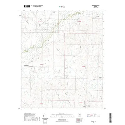 2020 Mantua2020 Print · USGSCovers Pickens County, including Union, Mantua, and other nearby areas
 - 2020 Map of Romulus, 2020 Print
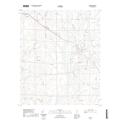
 2020 Romulus2020 Print · USGSCovers Pickens County, including Jena, Romulus, and other nearby areas
 - 2020 Map of Kennedy, 2020 Print
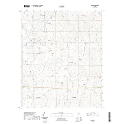 2020 Kennedy2020 Print · USGSCovers Pickens County, including Kennedy, Ashcraft Corner, and other nearby areas
 - 2020 Map of Gordo, 2020 Print
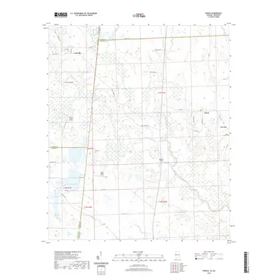
 2020 Gordo2020 Print · USGSCovers Pickens County, including Gordo, Reform, and other nearby areas
 - 2020 Map of Elrod, 2020 Print
 2020 Elrod2020 Print · USGSCovers Pickens County, including Elrod, Buhl, and other nearby areas
 - 2020 Map of New Hope, 2020 Print
 2020 New Hope2020 Print · USGSCovers Pickens County, including Columbus, Brookwood Estates, and other nearby areas
 - 2020 Map of Steens, 2020 Print
 2020 Steens2020 Print · USGSCovers Pickens County, including Columbus, Coles Subdivision, and other nearby areas
Showing maps 1-25 of 52
Top cities of Pickens County
- Aliceville historical maps
- Gordo historical maps
- Reform historical maps
- Carrollton historical maps
- Pickensville historical maps
- Macedonia historical maps
See more
Frequently asked questions
- What are the different types of historical maps available for Pickens County?
- What is the oldest map of Pickens County?
- Where can I purchase historical maps of Pickens County for my home or office?
- Where can I download high-res historical maps of Pickens County?
- Are there historical topographic maps available for Pickens County?
- Is there historical aerial imagery available for Pickens County?
- Where are historical maps of Pickens County sourced from?