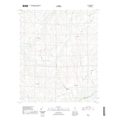
2020 Map of Kirk
USGS Topo · Published 2020About this map
Kirk anchors the northeast corner of this West Alabama landscape, where the rural topography is defined by the winding course of the Sipsey River and its numerous tributaries. In the southern portion of the quadrangle, the river forms the natural boundary between Pickens and Greene counties, surrounded by extensive wetlands and seasonal bottomlands. The settlement pattern is sparse, with small communities like Pleasant Grove and Pioneer connected by a network of named local routes such as Benevola Rd and Pioneer Rd.
Find a feature on this map
41 named features on this map. Tap any name to fly to it.
Don’t see what you’re looking for? This feature index may not catch every label — zoom into the map to look around manually.
Map Details
Editions of this 2020 Kirk Map
This is the sole edition of this map. No revisions or reprints were ever made.
Other maps of this area

1953 · Birmingham
USGS Topo · 1:250,000

1953 · West Point
USGS Topo · 1:250,000

1956 · Birmingham
USGS Topo · 1:250,000

1957 · Birmingham
USGS Topo · 1:250,000

1958 · West Point
USGS Topo · 1:250,000

1963 · West Point
USGS Topo · 1:250,000

1967 · Carrollton
USGS Topo · 1:24,000

1967 · Gordo
USGS Topo · 1:24,000

1967 · Elrod
USGS Topo · 1:24,000
1970 · Kirk
USGS Topo · 1:24,000