2010s Maps of Pickens County, Alabama
Explore 78 historic maps of Pickens County from the 2010s. These maps offer a rare glimpse into what life looked like during the 2010s — showing old roads, neighborhoods, homes, and landmarks that have changed or disappeared over time.
Whether you're researching your family's past, planning a metal detecting trip, or studying how Pickens County's landscape evolved across the 2010s, these high-resolution maps are a powerful tool for exploring the history of this region.
- Focus on a specific era: All maps on this page are from the 2010s, giving you a focused view of this time period.
- See what’s changed: Compare century-old streets, trails, and buildings to today's modern landscape using overlays and satellite layers.
- Research with precision: Use these maps for genealogy, historical research, land use analysis, or educational projects.
- View, download, or print: Maps are fully viewable online in high resolution, and can be downloaded or printed for your own records.
Start exploring Pickens County's history through authentic maps from the 2010s. This is your window into the past.
Pickens County, AL maps
(78)- 2011 Map of Warsaw, 2011 Print
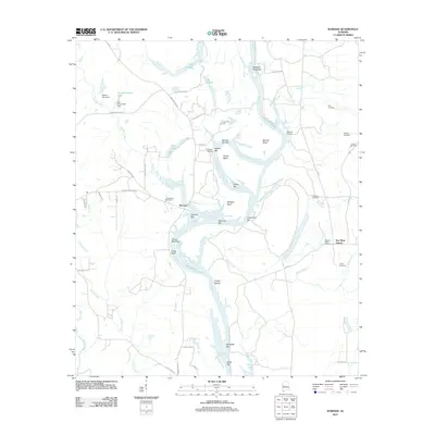 2011 Warsaw2011 Print · USGSSoutheastern river life and rural settlements define this Alabama landscape in the early twenty-first century. Genealogists can trace family names through numerous burial sites including Jamestown Cemetery, Mobley Cemetery, and Pleasant Valley Cemetery.
 - 2011 Map of Palmetto, 2011 Print
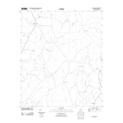 2011 Palmetto2011 Print · USGSPickens County at the start of the 2010s reveals a landscape of enduring rural communities and family legacies. Genealogists can trace local history through numerous sites like Mount Tabor Cemetery, Old Salem Cemetery, and the settlement at Palmetto.
 - 2011 Map of Fernbank, 2011 Print
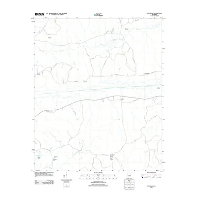 2011 Fernbank2011 Print · USGSLamar County's rural character is preserved in the early twenty-first century as small settlements and gas fields dot the landscape. Researchers can locate family landmarks like Andrews Chapel Cemetery, Old Harmony Cemetery, and the community at Melborne.
 - 2011 Map of Carrollton, 2011 Print
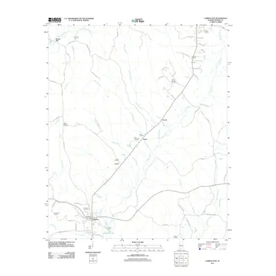 2011 Carrollton2011 Print · USGSCarrollton and the surrounding Pickens County countryside are captured here in the early twenty-first century. Researchers can trace family history through numerous rural burial sites like Old Sardis Cemetery or locate the small settlements of Stansel and Owens.
 - 2011 Map of Mantua, 2011 Print
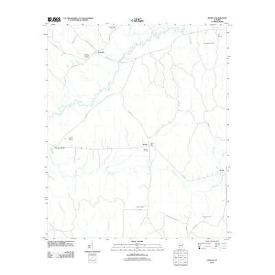 2011 Mantua2011 Print · USGSGreene County, Alabama, is documented here in the early 2010s, showing a landscape defined by the meandering Sipsey River and quiet crossroads. Genealogists can trace family heritage through numerous rural sites like Hebron Cemetery, Mount Moriah Cemetery, and the Mantua Post Office.
 - 2011 Map of Kennedy, 2011 Print
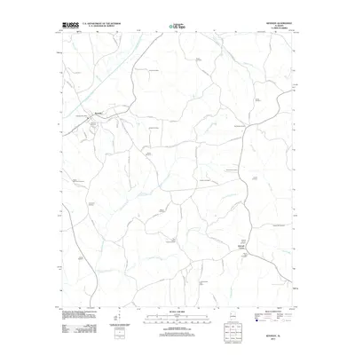 2011 Kennedy2011 Print · USGSWestern Lamar County at the start of the decade reveals a landscape of dispersed settlements and quiet creek bottoms. Researchers can trace family history through a remarkable number of local sites, including Dorroh Cemetery, Ashcraft Corner, and the Lubbub Creek Gas Field.
 - 2011 Map of Aliceville South, 2011 Print
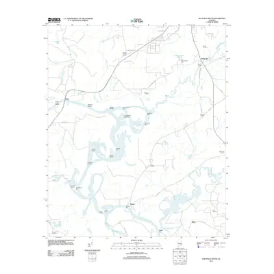 2011 Aliceville South2011 Print · USGSPickens County at the start of the 2010s reveals a landscape defined by the deep bends and shoals of the Tombigbee River. Researchers can trace old family burial sites like Old Bethany Cemetery and Gardner Cemetery or locate river landmarks such as Vienna and Windhams Landing.
 - 2011 Map of Brownville, 2011 Print
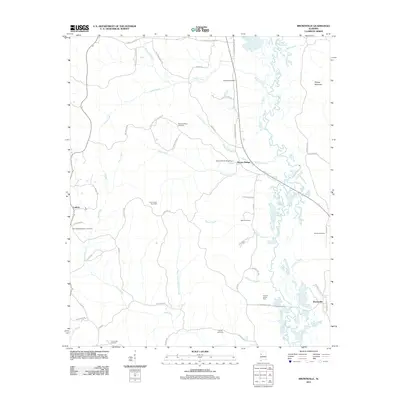 2011 Brownville2011 Print · USGSNear the Alabama-Mississippi border in the early 2010s, this area reflects a landscape of river-bottom farms and quiet rural settlements. Researchers can trace family history at Sardis Cemetery or locate old community hubs like Lubbub and Moores Bridge.
 - 2011 Map of Romulus, 2011 Print
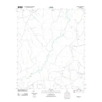 2011 Romulus2011 Print · USGSWest of Tuscaloosa in the early 2000s, the rural landscapes of Jena and Romulus remain defined by the winding Sipsey River. Local historians can trace old river crossings at Huffmans Ford or locate ancestral sites at Backbone Cemetery and Jordan Cemetery.
 - 2011 Map of Cunningham, 2011 Print
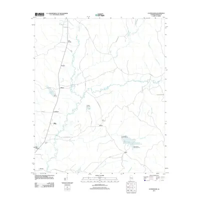 2011 Cunningham2011 Print · USGSThe rural stretches of Pickens County come into focus in the early twenty-first century, showing a landscape shaped by creek systems and small hamlets. Genealogists can locate family landmarks like Hopewell Hill Cemetery, Lois Spring, and Olney.
 - 2011 Map of Dancy, 2011 Print
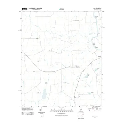 2011 Dancy2011 Print · USGSThe Alabama-Mississippi borderlands along the Tombigbee River are captured here in the early twenty-first century. Researchers can trace rural lineages through sites like Cluster Cemetery and Hebron Church, or locate river landmarks such as Colemans Shoals and Cochrane.
 - 2011 Map of Pickensville, 2011 Print
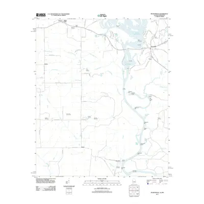 2011 Pickensville2011 Print · USGSThe Tombigbee River forms the heart of this borderlands region between Alabama and Mississippi during the early twenty-first century. Genealogists and local historians can trace rural roots through Saint John Cemetery, Bigbee Valley, and river landmarks like Shylock Shoals.
 - 2011 Map of Kirk, 2011 Print
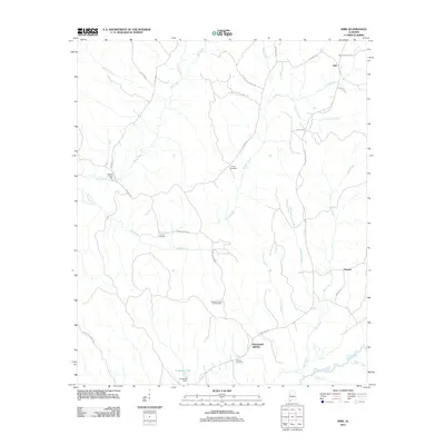 2011 Kirk2011 Print · USGSPickens County, Alabama, is shown at the start of the twenty-first century, preserving the legacy of rural settlements and old water-powered industries. Researchers can locate family landmarks such as Speeds Water Mill, Mitchell Cemetery, and the Pleasant Grove Lookout Tower.
 - 2011 Map of Elrod, 2011 Print
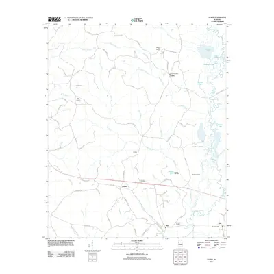 2011 Elrod2011 Print · USGSWestern Tuscaloosa County is documented here during the early twenty-first century as a landscape of rural crossroads and river bottomlands. Genealogists can locate numerous local landmarks including Mount Nebo Cemetery, the Echola Post Office, and the winding Sipsey River.
 - 2011 Map of Millport, 2011 Print
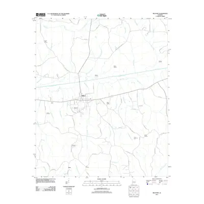 2011 Millport2011 Print · USGSMillport and the surrounding Lamar County countryside are shown here in the early twenty-first century, centered on the confluence of the Luxapalila and Driver Creeks. Researchers can trace family history at several burial grounds like Oddfellows Cemetery and Macedonia Cemetery, or locate energy landmarks such as the Millport Gas Field.
 - 2011 Map of Reform, 2011 Print
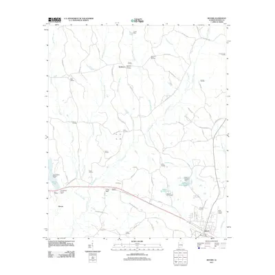 2011 Reform2011 Print · USGSIn the early twenty-first century, the area around Reform, Alabama, maintains a deep connection to its rural roots and natural resource extraction. Researchers can trace ancestral locations at Antioch Cemetery or Rocky Ridge Cemetery and locate industrial landmarks like the Coal Fire Creek Gas Field.
 - 2011 Map of Reform SW, 2011 Print
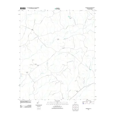 2011 Reform SW2011 Print · USGSWestern Alabama rural life and industry are captured here just after the turn of the millennium. Researchers can trace family history at Spring Hill Cemetery and Brooks Cemetery or locate the Woolbank Creek Gas Field near Archer.
 - 2011 Map of Gordo, 2011 Print
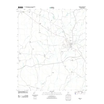 2011 Gordo2011 Print · USGSGordo and its surrounding Pickens County countryside are captured here in the early twenty-first century as a network of rural settlements and family landmarks. Genealogists can trace numerous local sites such as Gordo City Cemetery, Old Trinity Cemetery, and the Lathrop Lookout Tower.
 - 2011 Map of Aliceville North, 2011 Print
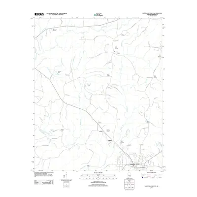 2011 Aliceville North2011 Print · USGSAliceville and its northern rural outskirts are detailed in this study of Pickens County from the early 2010s. Researchers can locate numerous family burial grounds and small communities like Garden, McMullen, and Pilgrim Rest Cemetery.
 - 2011 Map of Pleasant Ridge, 2011 Print
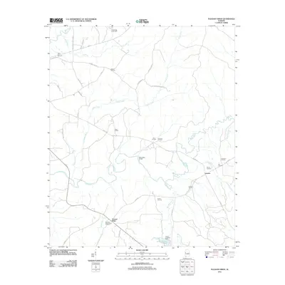 2011 Pleasant Ridge2011 Print · USGSThe Sipsey River valley in Greene County is captured here in the early 21st century, showing a landscape defined by small river settlements and family history. Genealogists can trace family names at the Pleasant Ridge Cemetery, Bethany Cemetery, and Eatman Cemetery.
 - 2011 Map of Ethelsville, 2011 Print
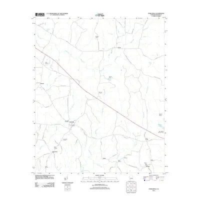 2011 Ethelsville2011 Print · USGSPickens County, Alabama, is documented here in the early twenty-first century, showing a rural landscape shaped by its small settlements and creek valleys. Genealogists can locate numerous burial sites such as Forest Church Cemetery and Strawbridge Cemetery, or trace the waters of Magby Creek.
 - 2011 Map of Newtonville, 2011 Print
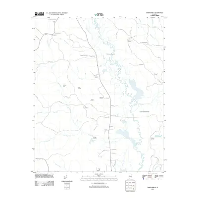 2011 Newtonville2011 Print · USGSFayette County's rural landscape is captured here in the early 2000s, showing the winding Sipsey River and the small settlements of Newtonville and Jerusalem. Genealogists can locate over a dozen burial sites including Zion Chapel Cemetery and Pilgrim Rest Cemetery.
 - 2011 Map of Panola, 2011 Print
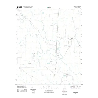 2011 Panola2011 Print · USGSThe Noxubee River borderlands are shown in detail here during the early twenty-first century. Researchers can locate the Panola Post Office, trace the legacy of Wild Horse Prairie, and find family sites at Watts Cemetery.
 - 2012 Map of New Hope, 2012 Print
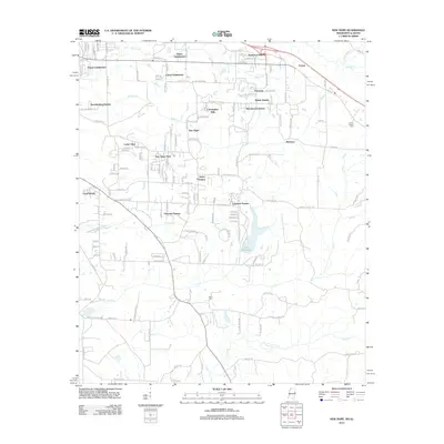 2012 New Hope2012 Print · USGSEastern Lowndes County is shown in this detailed 2012 survey, revealing the suburban expansion near the Alabama border. Genealogists and local historians can locate early burial sites at Union Chapel Cem and Parks Cem or trace neighborhoods like Lakeover Estates.
 - 2012 Map of Forreston, 2012 Print
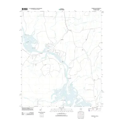 2012 Forreston2012 Print · USGSThe river valley at the Mississippi-Alabama border comes into focus in the early twenty-first century, centered on Forreston and Union Bluff. Researchers can locate several family burial grounds like Mount Olive Cem and trace the legacy of river transit at Nashville Ferry.
Showing maps 1-25 of 78
Top cities of Pickens County
- Aliceville historical maps
- Gordo historical maps
- Reform historical maps
- Carrollton historical maps
- Pickensville historical maps
- Macedonia historical maps
See more
Frequently asked questions
- What are the different types of historical maps available for Pickens County?
- What is the oldest map of Pickens County?
- Where can I purchase historical maps of Pickens County for my home or office?
- Where can I download high-res historical maps of Pickens County?
- Are there historical topographic maps available for Pickens County?
- Is there historical aerial imagery available for Pickens County?
- Where are historical maps of Pickens County sourced from?