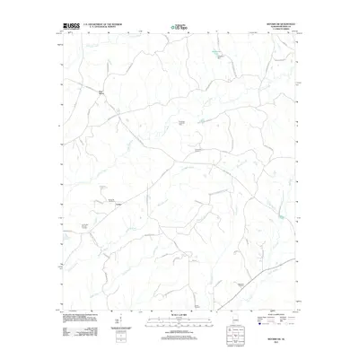
2011 Map of Reform SW
USGS Topo · Published 2011About this map
Archer and the surrounding rural uplands of Pickens County are defined by a network of creeks and small family cemeteries in this 21st-century landscape. The area is heavily intersected by watercourses including Coal Fire Creek, Woolbank Creek, and Snake Creek, which carve through the terrain between small settlements like Pine Grove. Significant for local history and genealogy, the map identifies several distinct burial sites such as Spring Hill Cemetery and Big Creek Cemetery, often located near crossroads or rural churches like Spring Hill Church.
Find a feature on this map
51 named features on this map. Tap any name to fly to it.
Don’t see what you’re looking for? This feature index may not catch every label — zoom into the map to look around manually.
Map Details
Editions of this 2011 Reform SW Map
This is the sole edition of this map. No revisions or reprints were ever made.
Other maps of this area

1953 · West Point
USGS Topo · 1:250,000

1958 · West Point
USGS Topo · 1:250,000

1960 · Columbus
USGS Topo · 1:62,500

1963 · West Point
USGS Topo · 1:250,000

1966 · Ethelsville
USGS Topo · 1:24,000

1966 · Reform SW
USGS Topo · 1:24,000

1967 · Carrollton
USGS Topo · 1:24,000
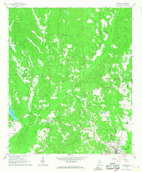
1967 · Reform
USGS Topo · 1:24,000

1970 · Aliceville North
USGS Topo · 1:24,000
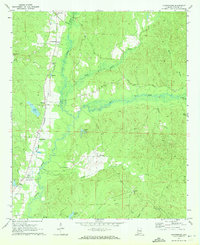
1970 · Cunningham
USGS Topo · 1:24,000