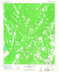
1967 Map of Reform
USGS Topo · Published 1968About this map
Reform serves as the primary hub in this late-1960s landscape, where the Gulf Mobile and Ohio railroad line creates a distinct industrial corridor through Pickens County. The map reveals a community structured around small rural centers, evidenced by the high density of country churches and family-named cemeteries such as Phoenix Cem and Baird Cem. Education and faith are central to the settlement pattern, anchored by institutions like Hopewell High Sch and Arbor Springs Ch.
Find a feature on this map
35 named features on this map. Tap any name to fly to it.
Don’t see what you’re looking for? This feature index may not catch every label — zoom into the map to look around manually.
Map Details
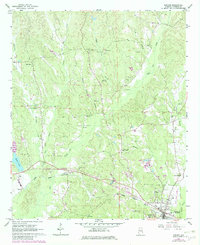
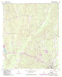
Editions of this 1967 Reform Map
3 editions found
Other maps of this area

1953 · Birmingham
USGS Topo · 1:250,000

1953 · West Point
USGS Topo · 1:250,000

1956 · Birmingham
USGS Topo · 1:250,000

1957 · Birmingham
USGS Topo · 1:250,000

1958 · West Point
USGS Topo · 1:250,000

1963 · West Point
USGS Topo · 1:250,000

1966 · Ethelsville
USGS Topo · 1:24,000

1966 · Reform SW
USGS Topo · 1:24,000

1967 · Carrollton
USGS Topo · 1:24,000

1967 · Kennedy
USGS Topo · 1:24,000