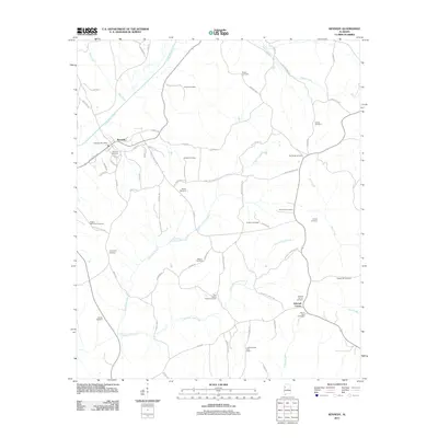
2011 Map of Kennedy
USGS Topo · Published 2011About this map
Kennedy stands as the primary hub in this rural Lamar County landscape, situated where the Kennedy Post Office serves the local community near the upper reaches of Luxapallila Creek. The geography is defined by a dense network of watercourses, including Coal Fire Creek and its tributary Little Coal Fire Creek, which carve through the terrain south of the main settlement. This area is particularly significant for genealogical research, as it contains an unusually high density of family and community burial grounds, such as Moore Cemetery, Wilson Cemetery, and the Ashcraft Corner Cemetery.
Find a feature on this map
73 named features on this map. Tap any name to fly to it.
Don’t see what you’re looking for? This feature index may not catch every label — zoom into the map to look around manually.
Map Details
Editions of this 2011 Kennedy Map
This is the sole edition of this map. No revisions or reprints were ever made.
Other maps of this area

1953 · Birmingham
USGS Topo · 1:250,000

1953 · West Point
USGS Topo · 1:250,000

1956 · Birmingham
USGS Topo · 1:250,000

1957 · Birmingham
USGS Topo · 1:250,000

1958 · West Point
USGS Topo · 1:250,000

1963 · West Point
USGS Topo · 1:250,000

1967 · Brownville
USGS Topo · 1:24,000

1967 · Newtonville
USGS Topo · 1:24,000

1967 · Hightogy
USGS Topo · 1:24,000

1967 · Kennedy
USGS Topo · 1:24,000