
1967 Map of Newtonville
USGS Topo · Published 1968About this map
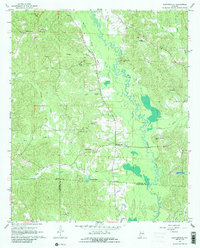
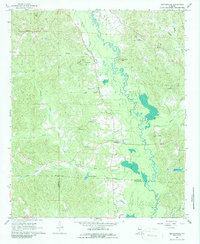
Newtonville serves as the focal point of this rural landscape, situated at the boundary of Fayette, Pickens, and Tuscaloosa counties in the late 1960s. The topography is defined by the winding course of the Sipsey River and a series of prominent peaks including Savage Mtn, McCracken Mtn, and Gurley Hughs Mtn. A network of country churches and schools, such as Shady Grove Church and Newtonville School, suggests a dispersed but well-connected community structure. An old railroad grade cuts north-south through the center of the sheet, providing a clear indication of earlier industrial or logistical transport routes through the creek valleys. Family history is well-preserved across the terrain, with several named burial sites like Brotherton Cemetery and Gravlee Cemetery located near the small creek branches like Lynn Creek and Savage Creek.
Find a feature on this map
37 named features on this map. Tap any name to fly to it.
Don’t see what you’re looking for? This feature index may not catch every label — zoom into the map to look around manually.
Map Details
Editions of this 1967 Newtonville Map
3 editions found
Other maps of this area

1926 · Samantha
USGS Topo · 1:48,000

1928 · Samantha
USGS Topo · 1:62,500

1953 · Birmingham
USGS Topo · 1:250,000

1956 · Birmingham
USGS Topo · 1:250,000

1957 · Birmingham
USGS Topo · 1:250,000

1967 · Brownville
USGS Topo · 1:24,000

1967 · Bankston
USGS Topo · 1:24,000

1967 · Kennedy
USGS Topo · 1:24,000

1967 · Fayette
USGS Topo · 1:24,000
1967 · Palmetto
USGS Topo · 1:24,000