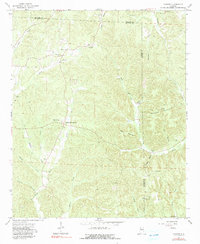
1967 Map of Howard
USGS Topo · Published 1991About this map
Studdards Crossroads and the settlement of Howard serve as central points in this rural landscape spanning the Walker and Fayette County line. The area is defined by the winding course of the North River, which receives numerous tributaries including Bores Creek, Wolf Creek, and Enis Creek. These waterways dictate the positioning of early homesteads and community structures, such as Willis Chapel and Elm Grove Ch.
Find a feature on this map
39 named features on this map. Tap any name to fly to it.
Don’t see what you’re looking for? This feature index may not catch every label — zoom into the map to look around manually.
Map Details
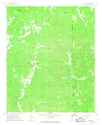
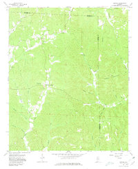
Editions of this 1967 Howard Map
3 editions found
Other maps of this area

1893 · Jasper
USGS Topo · 1:125,000

1949 · Townley
USGS Topo · 1:24,000

1949 · Oakman
USGS Topo · 1:24,000

1949 · Nauvoo
USGS Topo · 1:24,000

1950 · Nauvoo
USGS Topo · 1:24,000

1951 · Oakman
USGS Topo · 1:24,000

1951 · Townley
USGS Topo · 1:24,000

1953 · Birmingham
USGS Topo · 1:250,000

1956 · Birmingham
USGS Topo · 1:250,000

1957 · Birmingham
USGS Topo · 1:250,000