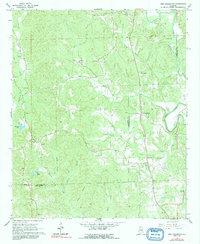
1967 Map of New Lexington
USGS Topo · Published 1991About this map
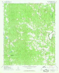
The Fayette County and Tuscaloosa County boundary line bisects this landscape of winding creeks and small rural congregations in the late 1960s. New Lexington serves as the central hub, surrounded by a dense network of local institutions like Etteca Sch, New Hope Ch, and Campground Ch. The map reveals a highly localized social geography, where numerous family-named landmarks such as Willingham Cem, Patterson Cem, and Simmons Cem are situated near the headwaters of Barbee Creek and Boone Creek. To the east, the North River meanders through the terrain, while the western portion is defined by the drainage basins of Davis Creek and Binion Creek. This survey provides a precise record of the road network and settlement patterns before modern development altered the rural character of the region.
Find a feature on this map
40 named features on this map. Tap any name to fly to it.
Don’t see what you’re looking for? This feature index may not catch every label — zoom into the map to look around manually.
Map Details
Editions of this 1967 New Lexington Map
2 editions found
Other maps of this area

1926 · Samantha
USGS Topo · 1:48,000

1928 · Samantha
USGS Topo · 1:62,500

1953 · Birmingham
USGS Topo · 1:250,000

1956 · Birmingham
USGS Topo · 1:250,000

1957 · Birmingham
USGS Topo · 1:250,000

1967 · Brownville
USGS Topo · 1:24,000

1967 · Bankston
USGS Topo · 1:24,000

1967 · Newtonville
USGS Topo · 1:24,000
1967 · Berry
USGS Topo · 1:24,000

1967 · Fayette
USGS Topo · 1:24,000