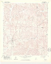
1967 Map of Berry
USGS Topo · Published 1968About this map
Berry serves as the focal point of this western Alabama landscape, situated at the confluence of the Southern railroad line and a network of rural roads. The 1967 topography reveals a region defined by its natural watercourses, including North River and Cedar Creek, and a dispersed pattern of small communities and family-centered landmarks. Significant industrial activity is evident through numerous strip mines and gravel pits located north and east of the town center, particularly near Pea Ridge. Local history and genealogy are well-represented by a high density of rural churches and burial grounds, such as Tabernacle Cem, Bethabara Ch, and Pendley Chapel. The map effectively documents the transition from agricultural land to industrial excavation during the late 1960s, capturing the footprint of Boley Springs and Alta before further modern development altered these small settlements.
Find a feature on this map
44 named features on this map. Tap any name to fly to it.
Don’t see what you’re looking for? This feature index may not catch every label — zoom into the map to look around manually.
Map Details
Editions of this 1967 Berry Map
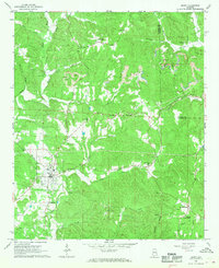
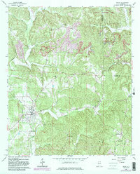
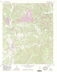
4 editions found
Other maps of this area

1893 · Jasper
USGS Topo · 1:125,000

1949 · Townley
USGS Topo · 1:24,000

1949 · Oakman
USGS Topo · 1:24,000

1949 · Wiley
USGS Topo · 1:24,000

1951 · Oakman
USGS Topo · 1:24,000

1951 · Wiley
USGS Topo · 1:24,000

1951 · Townley
USGS Topo · 1:24,000

1953 · Birmingham
USGS Topo · 1:250,000

1956 · Birmingham
USGS Topo · 1:250,000

1957 · Birmingham
USGS Topo · 1:250,000