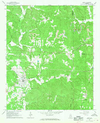
1967 Map of Berry
USGS Topo · Published 1968About this map
The town of Berry serves as the focal point of this late 1960s survey, situated at the junction of the Southern railroad and a network of local roads. The landscape is defined by the winding course of the North River and its numerous tributaries, including Cedar Creek and Cane Creek, which carve through the terrain near Pea Ridge and Frost Hill. The presence of a significant Strip Mine north of Berry, alongside several scattered Gravel Pits, points to the importance of resource extraction in this portion of the Fayette and Walker county borderlands.
Find a feature on this map
42 named features on this map. Tap any name to fly to it.
Don’t see what you’re looking for? This feature index may not catch every label — zoom into the map to look around manually.
Map Details
Editions of this 1967 Berry Map
4 editions found
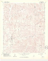
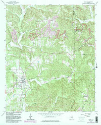
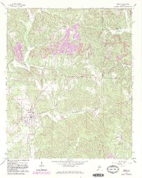
Other maps of this area

1893 · Jasper
USGS Topo · 1:125,000

1949 · Townley
USGS Topo · 1:24,000

1949 · Oakman
USGS Topo · 1:24,000

1949 · Wiley
USGS Topo · 1:24,000

1951 · Oakman
USGS Topo · 1:24,000

1951 · Wiley
USGS Topo · 1:24,000

1951 · Townley
USGS Topo · 1:24,000

1953 · Birmingham
USGS Topo · 1:250,000

1956 · Birmingham
USGS Topo · 1:250,000

1957 · Birmingham
USGS Topo · 1:250,000