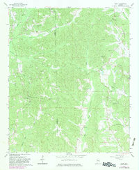
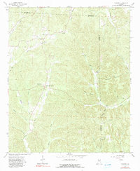
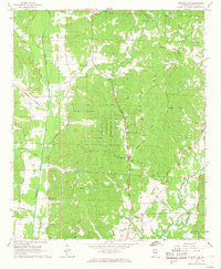
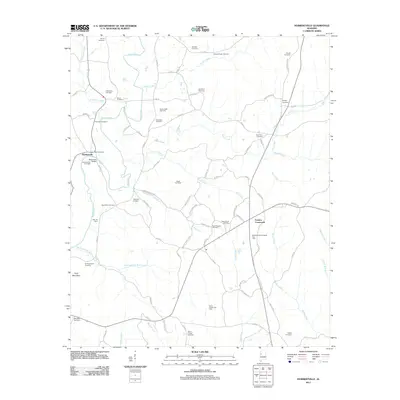
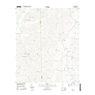
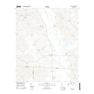
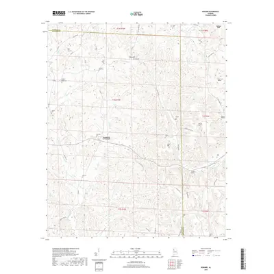
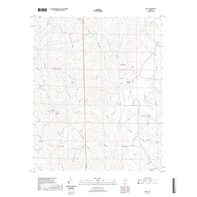
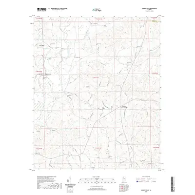
1967 Map of Bluff
USGS Topo · Published 1983About this map
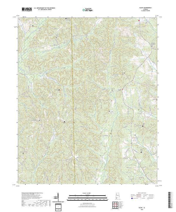
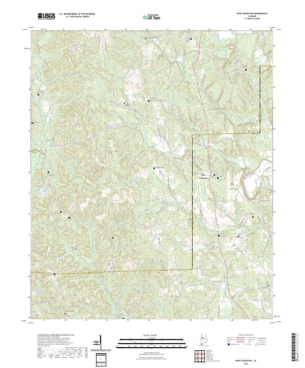
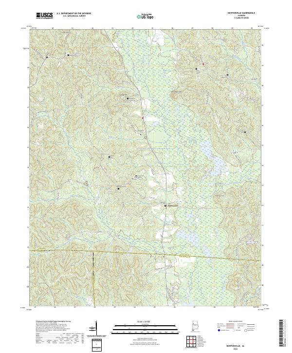
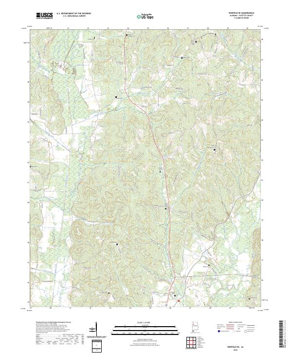
The community of Bluff sits at the heart of this landscape, positioned along the border between Lamar and Fayette counties. This rural stretch of northern Alabama is defined by a dense network of watercourses, including Hells Creek and Turkey Creek, which carve through the wooded terrain. The settlement pattern is deeply rooted in local faith and family, evidenced by the numerous country churches and burial grounds that dot the ridges. From the Bethabara Ch in the south to the Old Antioch Cem and Roxanna Ch in the north, these landmarks represent the enduring social centers of the era. The presence of facilities like Kirkland Sch and Wayside Sch highlights the distributed nature of rural life in the mid-1960s, while names like Browns Mill Creek point to earlier agricultural and industrial foundations.
Find a feature on this map
34 named features on this map. Tap any name to fly to it.
Don’t see what you’re looking for? This feature index may not catch every label — zoom into the map to look around manually.
Map Details
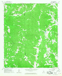
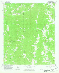
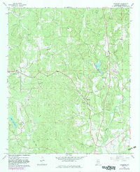
Editions of this 1967 Bluff Map
3 editions found
Historical Maps of Mansfield Through Time
42 maps found
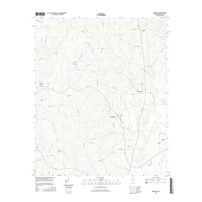
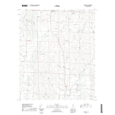
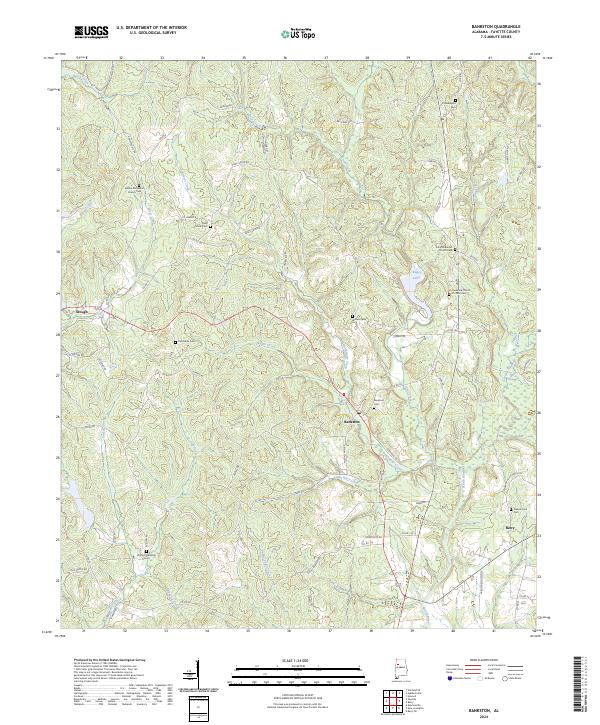
1967 Bankston
Fayette County, AL
1967 Bluff
Fayette County, AL
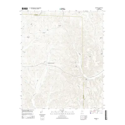
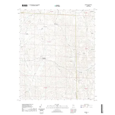
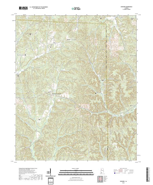
1967 Howard
Fayette County, AL
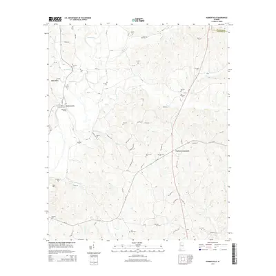
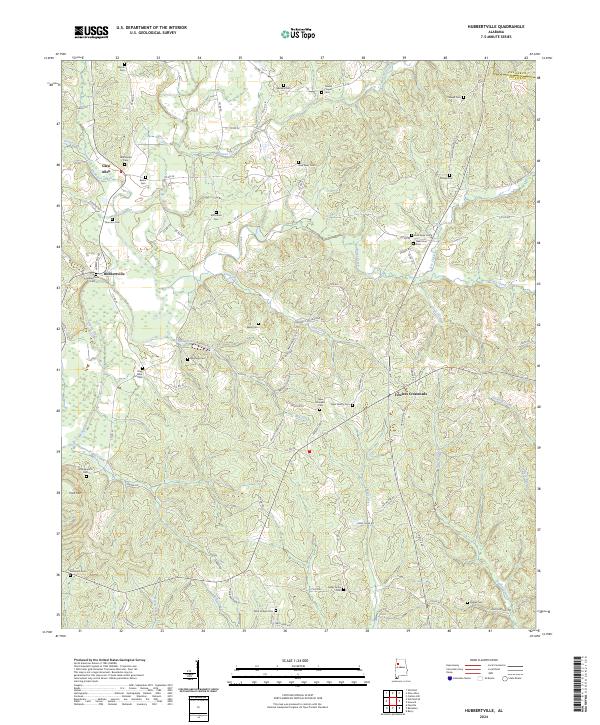
1967 Hubbertville
Fayette County, AL
1967 New Lexington
Fayette County, AL
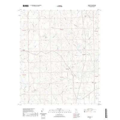
1967 Newtonville
Fayette County, AL
1967 Winfield SE
Fayette County, AL
2011 Bankston
Fayette County, AL
2011 Bluff
Fayette County, AL
2011 Howard
Fayette County, AL
2011 Hubbertville
Fayette County, AL
2011 New Lexington
Fayette County, AL
2011 Newtonville
Fayette County, AL
2011 Winfield SE
Fayette County, AL
2014 Bankston
Fayette County, AL
2014 Bluff
Fayette County, AL
2014 Howard
Fayette County, AL
2014 Hubbertville
Fayette County, AL

2014 New Lexington
Fayette County, AL
2014 Newtonville
Fayette County, AL
2014 Winfield SE
Fayette County, AL
2018 Bankston
Fayette County, AL
2018 Bluff
Fayette County, AL
2018 Howard
Fayette County, AL
2018 Hubbertville
Fayette County, AL
2018 New Lexington
Fayette County, AL
2018 Newtonville
Fayette County, AL
2018 Winfield SE
Fayette County, AL
2020 Bankston
Fayette County, AL
2020 Bluff
Fayette County, AL
2020 Howard
Fayette County, AL
2020 Hubbertville
Fayette County, AL
2020 New Lexington
Fayette County, AL
2020 Newtonville
Fayette County, AL
2020 Winfield SE
Fayette County, AL
2024 Bankston
Fayette County, AL
2024 Bluff
Fayette County, AL
2024 Howard
Fayette County, AL
2024 Hubbertville
Fayette County, AL
2024 New Lexington
Fayette County, AL
2024 Newtonville
Fayette County, AL
2024 Winfield SE
Fayette County, AL