Old Maps of Pioneer, Alabama for Metal Detecting
Plan your next treasure hunt with 10 historic maps of Pioneer. Find old homesites, ghost towns, trails, and gathering spots that may be lost to time — perfect for identifying promising metal detecting locations.
- Locate forgotten sites: Uncover places like long-lost settlements, abandoned rail lines, or gathering spots.
- Plan better hunts: Use map overlays combined with LiDAR or satellite views to narrow in on historically rich areas.
- Made for detectorists: Thousands of hobbyists use these maps to discover relics, coins, and hidden history.
Use these historic maps to boost your research and find new opportunities beneath the surface of Pioneer.
Pioneer, AL maps
(10)- 1953 Map of Birmingham, 1964 Print
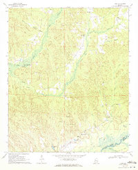
 1953 Birmingham1964 Print · USGSCentral Alabama at mid-century shows a landscape defined by industrial expansion and the iron-rich ridges surrounding Birmingham. Researchers can trace the extensive rail networks of the L & N RR or locate historic federal sites like the Anniston Ordnance Depot.4 unique versions available
 - 1956 Map of Birmingham
 1956 Birmingham1956 Print · USGSCentral Alabama in the mid-fifties exhibits a landscape of growing cities and deep-rooted industrial corridors. Genealogists and historians can trace the development of suburban Mountain Brook or locate regional hubs like Sylacauga and Jasper.
 - 1957 Map of Birmingham
 1957 Birmingham1957 Print · USGSNorth-Central Alabama in the mid-fifties is an industrial powerhouse centered on the steel valleys and sprawling iron ridges. Genealogists and historians can trace the rail-linked growth of Birmingham and Tuscaloosa, or locate rural landmarks like Talladega College and the Anniston Ordnance Depot.
 - 1970 Map of Kirk, 1972 Print
 1970 Kirk1972 Print · USGSPickens County hill country and the Sipsey River bottomlands appear here as they were in the early 1970s, before modern changes. Genealogists and historians can trace the Old Railroad Grade and find rural sites like Speeds Water Mill, Souls Chapel, and Piney Grove Cem.2 unique versions available
 - 1984 Map of Tuscaloosa, 1985 Print
 1984 Tuscaloosa1985 Print · USGSWest-central Alabama centers on the mid-1980s expansion of the university and the river economy. Genealogists and historians can trace small-town connections through Burchfield Store, North Johns, and the rail lines of the Southern railroad.2 unique versions available
 - 2011 Map of Kirk, 2011 Print
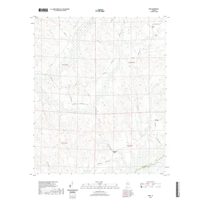
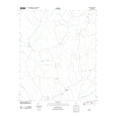 2011 Kirk2011 Print · USGSCovers Pioneer, including Kirk, Pleasant Grove, and other nearby areas
 - 2014 Map of Kirk, 2014 Print
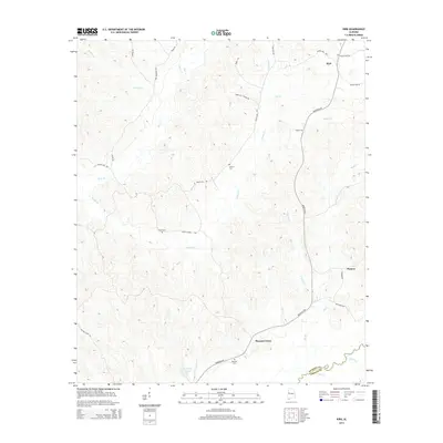 2014 Kirk2014 Print · USGSCovers Pioneer, including Kirk, Pleasant Grove, and other nearby areas
 - 2018 Map of Kirk, 2018 Print
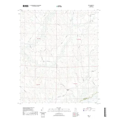 2018 Kirk2018 Print · USGSCovers Pioneer, including Kirk, Pleasant Grove, and other nearby areas
 - 2020 Map of Kirk, 2020 Print
 2020 Kirk2020 Print · USGSCovers Pioneer, including Kirk, Pleasant Grove, and other nearby areas
 - 2024 Map of Kirk, 2024 Print
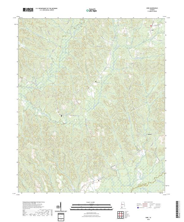 2024 Kirk2024 Print · USGSPickens and Greene counties are shown here in the 2020s, centered on the rural communities of Kirk and Pioneer. Genealogists and local historians can trace family-named routes and sites like Liberty Cem, Mitchell Cem, and the winding Sipsey River.
End of results
Showing maps 1-10 of 10
Top cities near Pioneer
- Tuscaloosa historical maps
- Northport historical maps
- Gordo historical maps
- Reform historical maps
- Carrollton historical maps
- Coker historical maps
See more
Frequently asked questions
- What are the different types of historical maps available for Pioneer?
- What is the oldest map of Pioneer?
- Where can I purchase historical maps of Pioneer for my home or office?
- Where can I download high-res historical maps of Pioneer?
- Are there historical topographic maps available for Pioneer?
- Is there historical aerial imagery available for Pioneer?
- Where are historical maps of Pioneer sourced from?