Old Maps of Troy, Alabama for Hiking & Exploration
Hike through history with 40 historic maps of Troy. Explore old trails, ghost towns, and forgotten backroads — perfect for outdoor adventurers and local explorers.
- Rediscover forgotten places: Map out old mining camps, roads, and footpaths that no longer exist on modern maps.
- Layer with modern tools: Combine with LiDAR or satellite views to plan hikes through historical terrain.
- Made for exploration: Popular among hikers, overlanders, and local history lovers.
Use these maps to find adventure and explore the hidden past of Troy.
Troy, AL maps
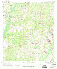
(40)- 1948 Map of Brundidge, 1965 Print
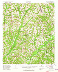 1948 Brundidge1965 Print · USGSSoutheast Alabama in the late 1940s is defined by a network of small farming communities and country churches connected by the Atlantic Coast Line. Genealogists and researchers can trace family-named landmarks such as Lowerys Mill, Coles Bridge, and Hamilton Crossroads School.
 - 1950 Map of Brundidge
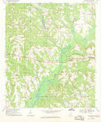
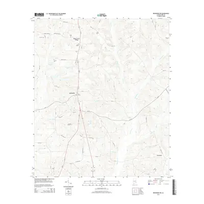
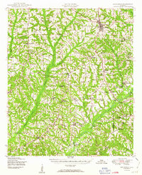 1950 Brundidge1950 Print · USGSBrundidge and the surrounding hills of Pike and Coffee Counties are captured here at mid-century as the local rail and river economy flourished. Genealogists can locate family landmarks like Arcus Cemetery or rural hubs such as Tarentum, Roeton, and Rocky Head.
 - 1953 Map of Andalusia, 1965 Print
 1953 Andalusia1965 Print · USGSSouth Alabama in the mid-twentieth century remains a land of pine forests and river-fed settlements. You can trace the vital rail corridors of the Louisville & Nashville and locate regional centers such as Andalusia, Brewton, and Monroeville.3 unique versions available
 - 1953 Map of Dothan, 1966 Print
 1953 Dothan1966 Print · USGSSoutheast Alabama and Southwest Georgia are captured during a period of massive hydraulic and military expansion in the mid-fifties. Genealogists and historians can trace rural landmarks like Antioch Church and School, the Andrew Jackson Monument, and the early footprint of Fort Rucker Military Reservation.3 unique versions available
 - 1954 Map of Dothan
 1954 Dothan1954 Print · USGSSoutheast Alabama and Southwest Georgia are seen here in the mid-fifties, during a decade of military expansion and rural transition. Genealogists can trace the location of country schools like Little Zion School or the grounds of Kolomoki Mounds State Park.
 - 1955 Map of Dothan
 1955 Dothan1955 Print · USGSSoutheast Alabama and Southwest Georgia are captured here in the mid-fifties, showing a landscape of river-port history and growing military bases. Researchers can trace rural life via the Andrew Jackson Monument, Bauxite mines, and the Central of Georgia RR.
 - 1957 Map of Andalusia
 1957 Andalusia1957 Print · USGSSouthern Alabama in the mid-1950s was a landscape defined by timbered stretches and the rhythmic flow of the Alabama River. Researchers can trace the legacy of the rail era through the Central of Georgia tracks and the storied river bluffs at Choctaw Bluff.
 - 1960 Map of Brundidge NW, 1963 Print
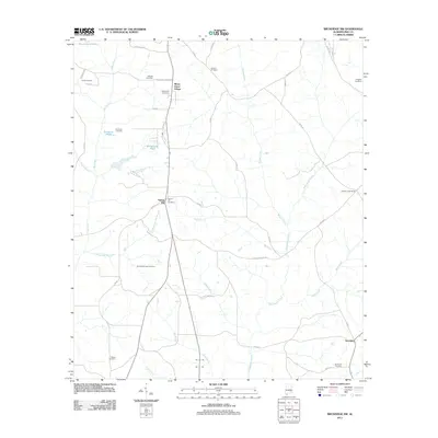
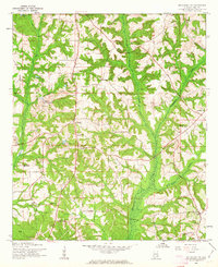 1960 Brundidge NW1963 Print · USGSPike County settlements and early 1960s industry meet in this detailed survey of the Alabama countryside. Genealogists can trace family roots through numerous local landmarks like Spring Hill Sch, Antioch Ch, and the rural community of Tarentum.2 unique versions available
 - 1962 Map of Brundidge NW
 1962 Brundidge NW1962 Print · USGSLife in rural Pike County during the early sixties is detailed here through its network of country schools and churches. Genealogists can locate specific family landmarks like Springhill School, Tarentum, and the White Water Church (abandoned).
 - 1968 Map of Goshen, 1970 Print
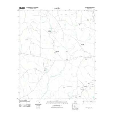
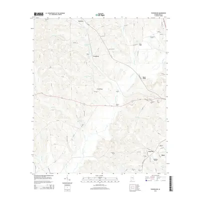
 1968 Goshen1970 Print · USGSGoshen and the Conecuh River valley are shown here in the late sixties as the local economy balanced traditional farming with emerging extractive industries. Genealogists can trace family names at Hillcrest Cem, Mt Hilliard Ch, and the crossroads at Little Oak.2 unique versions available
 - 1968 Map of Youngblood, 1970 Print
 1968 Youngblood1970 Print · USGSPike County in the late sixties reveals a landscape shaped by the Conecuh River and the intersecting routes of the Seaboard Coast Line. Researchers can locate several family-centric landmarks and rural congregations, from Hephzibah and Shellhorn to New Mt Zion Ch.2 unique versions available
 - 1968 Map of Ansley, 1971 Print
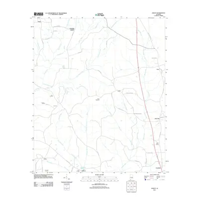
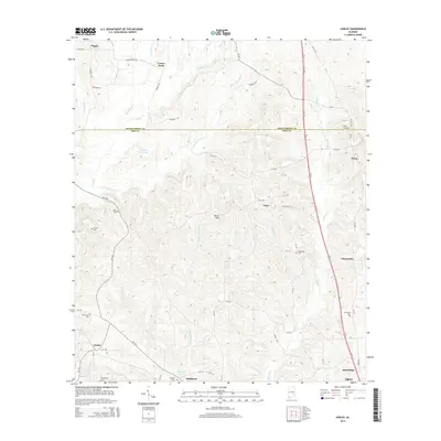
 1968 Ansley1971 Print · USGSThe Pike and Montgomery county line in the late 1960s was a landscape of remote farmsteads and creek-side settlements. Genealogists can locate family landmarks like Shellhorn, the Seaboard Coast railroad corridor at Ansley, and several rural burial sites such as Pine Grove Cem.2 unique versions available
 - 1968 Map of Troy, 1971 Print
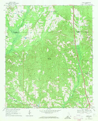
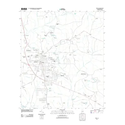
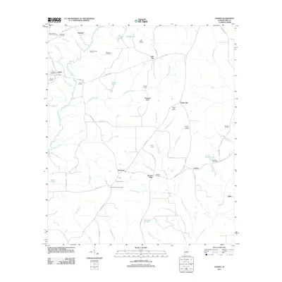
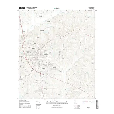
 1968 Troy1971 Print · USGSPike County at the height of the 1960s shows a thriving regional center as Troy State Univ expands alongside established neighborhoods. Genealogists and historians can trace the foundations of the community through Oakwood Cem, the Seaboard Coast Line railroad, and McClure Town.2 unique versions available
 - 1981 Map of Troy, 1982 Print
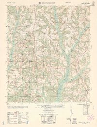
 1981 Troy1982 Print · USGSThe Chattahoochee River valley and the wiregrass region of Alabama come alive in the early eighties as the Walter F George Reservoir reshapes the eastern border. Genealogists can trace family roots through historic railroad towns like Brundidge and Louisville or explore the rural surroundings of Blue Springs State Park.
 - 1986 Map of Greenville
 1986 Greenville1986 Print · USGSMid-century South Central Alabama comes alive in this survey of the creek-laced timberlands and rail-dependent towns between the Gulf Coastal Plain and the Piedmont. Researchers can trace family roots through numerous country landmarks like Magnolia Cem, Spring Hill Ch, and the Butler County State Wildlife Management Area.2 unique versions available
 - 2011 Map of Troy, 2011 Print
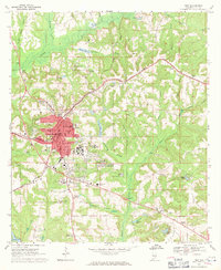
 2011 Troy2011 Print · USGSCovers Troy, including Country Club Estates, McClure Town, and other nearby areas
 - 2011 Map of Brundidge NW, 2011 Print
 2011 Brundidge NW2011 Print · USGSCovers Troy, including Tarentum, Mossy Grove Estates, and other nearby areas
 - 2011 Map of Ansley, 2011 Print
 2011 Ansley2011 Print · USGSCovers Troy, including Pisgah, Shellhorn, and other nearby areas
 - 2011 Map of Youngblood, 2011 Print
 2011 Youngblood2011 Print · USGSCovers Troy, including Youngblood, Lees Park, and other nearby areas
 - 2011 Map of Goshen, 2011 Print
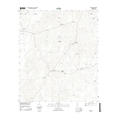
 2011 Goshen2011 Print · USGSCovers Troy, including Goshen, Little Oak, and other nearby areas
 - 2014 Map of Youngblood, 2014 Print
 2014 Youngblood2014 Print · USGSCovers Troy, including Youngblood, Lees Park, and other nearby areas
 - 2014 Map of Goshen, 2014 Print
 2014 Goshen2014 Print · USGSCovers Troy, including Goshen, Little Oak, and other nearby areas
 - 2014 Map of Ansley, 2014 Print
 2014 Ansley2014 Print · USGSCovers Troy, including Pisgah, Shellhorn, and other nearby areas
 - 2014 Map of Troy, 2014 Print
 2014 Troy2014 Print · USGSCovers Troy, including Country Club Estates, McClure Town, and other nearby areas
 - 2014 Map of Brundidge NW, 2014 Print
 2014 Brundidge NW2014 Print · USGSCovers Troy, including Tarentum, Mossy Grove Estates, and other nearby areas
Showing maps 1-25 of 40
Top cities near Troy
- Brundidge historical maps
- Ariton historical maps
- Goshen historical maps
- Banks historical maps
- Glenwood historical maps
Top neighborhoods of Troy
- Mountainbrook historical maps
- Northdale historical maps
- Allred historical maps
- Forest Circle historical maps
- Green Oaks historical maps
- Heritage Ridge historical maps
See more
Frequently asked questions
- What are the different types of historical maps available for Troy?
- What is the oldest map of Troy?
- Where can I purchase historical maps of Troy for my home or office?
- Where can I download high-res historical maps of Troy?
- Are there historical topographic maps available for Troy?
- Is there historical aerial imagery available for Troy?
- Where are historical maps of Troy sourced from?