2020s Maps of Phenix City, Alabama
Explore 10 historic maps of Phenix City from the 2020s. These maps offer a rare glimpse into what life looked like during the 2020s — showing old roads, neighborhoods, homes, and landmarks that have changed or disappeared over time.
Whether you're researching your family's past, planning a metal detecting trip, or studying how Phenix City's landscape evolved across the 2020s, these high-resolution maps are a powerful tool for exploring the history of this region.
- Focus on a specific era: All maps on this page are from the 2020s, giving you a focused view of this time period.
- See what’s changed: Compare century-old streets, trails, and buildings to today's modern landscape using overlays and satellite layers.
- Research with precision: Use these maps for genealogy, historical research, land use analysis, or educational projects.
- View, download, or print: Maps are fully viewable online in high resolution, and can be downloaded or printed for your own records.
Start exploring Phenix City's history through authentic maps from the 2020s. This is your window into the past.
Phenix City, AL maps
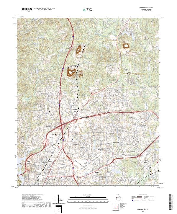
(10)- 2020 Map of Fortson, 2020 Print
 2020 Fortson2020 Print · USGSCovers Phenix City, including Columbus, Farmington, and other nearby areas
 - 2020 Map of Columbus, 2020 Print
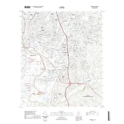 2020 Columbus2020 Print · USGSCovers Phenix City, including Columbus, Garrett Heights, and other nearby areas
 - 2020 Map of Phenix City, 2020 Print
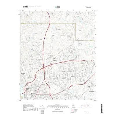
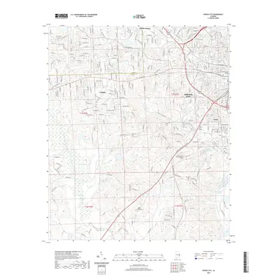 2020 Phenix City2020 Print · USGSCovers Phenix City, including Smiths Station, Ladonia, and other nearby areas
 - 2020 Map of Fort Mitchell, 2020 Print
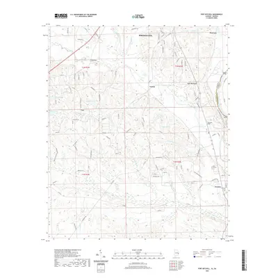 2020 Fort Mitchell2020 Print · USGSCovers Phenix City, including Nuckols, Flournoys, and other nearby areas
 - 2020 Map of Smiths Station, 2020 Print
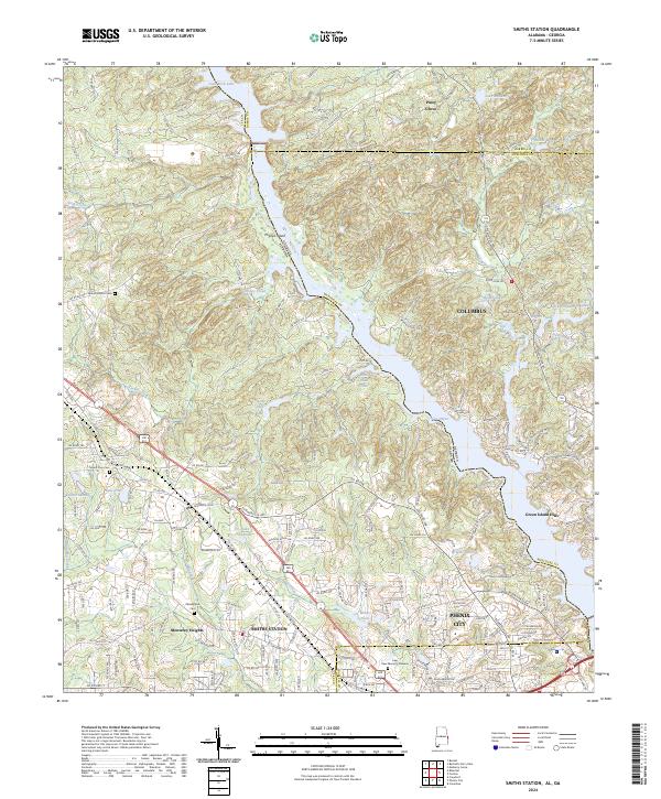
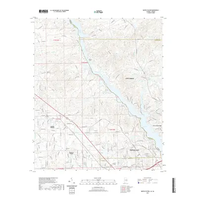 2020 Smiths Station2020 Print · USGSCovers Phenix City, including Columbus, Smiths Station, and other nearby areas
 - 2024 Map of Phenix City, 2024 Print
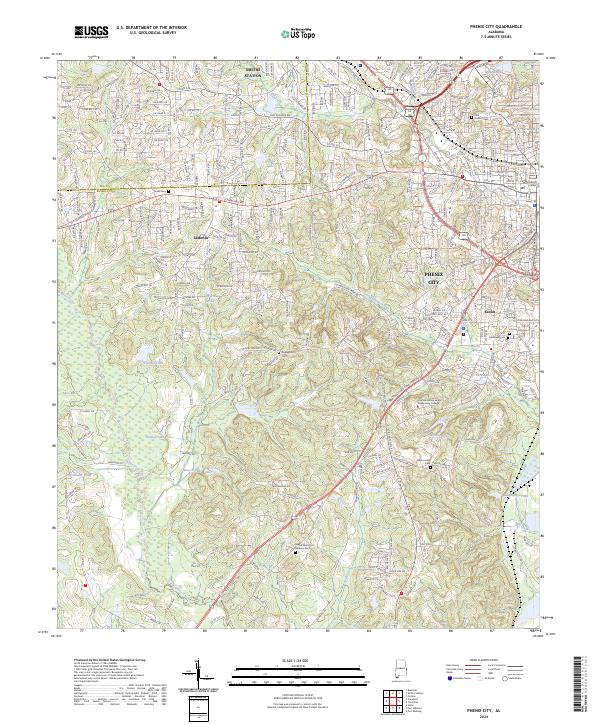 2024 Phenix City2024 Print · USGSPhenix City and the bordering Lee and Russell county lines are shown in modern detail during this recent survey. Local historians can trace family sites at Abercrombie Cem or Dudleyville Cem and follow the paths of Mill Creek and Cochgalechee Creek.
 - 2024 Map of Fort Mitchell, 2024 Print
 2024 Fort Mitchell2024 Print · USGSThe Alabama-Georgia border near Fort Mitchell comes to life in this detailed survey of the local military and rural landscape. Genealogists can trace family connections at Saint John Cem and Oswichee Cem or explore the history of Lato and Perrys Ford.
 - 2024 Map of Fortson, 2024 Print
 2024 Fortson2024 Print · USGSNorth Columbus and the borderlands of Harris County are shown here at a peak of modern suburban growth. Genealogists and local historians can trace family church sites like Pierce Chapel and locate burials at Mount Gilead Cem or Water Shiloh Cem.
 - 2024 Map of Columbus, 2024 Print
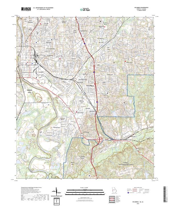 2024 Columbus2024 Print · USGSColumbus and the Chattahoochee River valley appear in high detail during this contemporary era. Genealogists can trace family records across Linwood Cem and Evergreen Memory Gardens Cem near Fort Benning.
 - 2024 Map of Smiths Station, 2024 Print
 2024 Smiths Station2024 Print · USGSThe Alabama-Georgia state line and the Chattahoochee River corridor are the focus of this modern survey near Columbus. Genealogists and local historians can locate Philadelphia Cem, Mount Zion Cem, and the growing community of Smiths Station.
End of results
Showing maps 1-10 of 10
Top cities near Phenix City
Top neighborhoods of Phenix City
- Greenbrier historical maps
- Garrett Heights historical maps
- Lakewood Heights historical maps
- Carriage Hill historical maps
- Rolling Hills historical maps
- Fontaine Village historical maps
See more
Frequently asked questions
- What are the different types of historical maps available for Phenix City?
- What is the oldest map of Phenix City?
- Where can I purchase historical maps of Phenix City for my home or office?
- Where can I download high-res historical maps of Phenix City?
- Are there historical topographic maps available for Phenix City?
- Is there historical aerial imagery available for Phenix City?
- Where are historical maps of Phenix City sourced from?