2020s Maps of Pell City, Alabama
Explore 10 historic maps of Pell City from the 2020s. These maps offer a rare glimpse into what life looked like during the 2020s — showing old roads, neighborhoods, homes, and landmarks that have changed or disappeared over time.
Whether you're researching your family's past, planning a metal detecting trip, or studying how Pell City's landscape evolved across the 2020s, these high-resolution maps are a powerful tool for exploring the history of this region.
- Focus on a specific era: All maps on this page are from the 2020s, giving you a focused view of this time period.
- See what’s changed: Compare century-old streets, trails, and buildings to today's modern landscape using overlays and satellite layers.
- Research with precision: Use these maps for genealogy, historical research, land use analysis, or educational projects.
- View, download, or print: Maps are fully viewable online in high resolution, and can be downloaded or printed for your own records.
Start exploring Pell City's history through authentic maps from the 2020s. This is your window into the past.
Pell City, AL maps
(10)- 2020 Map of Sleeping Giant, 2020 Print
 2020 Sleeping Giant2020 Print · USGSCovers Pell City, including Talladega, Lincoln, and other nearby areas
 - 2020 Map of Riverside, 2020 Print
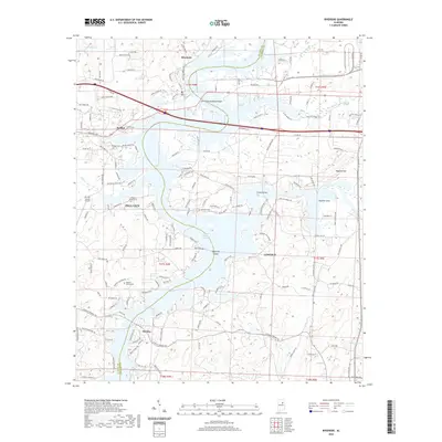 2020 Riverside2020 Print · USGSCovers Pell City, including Lincoln, Riverside, and other nearby areas
 - 2020 Map of Laniers, 2020 Print
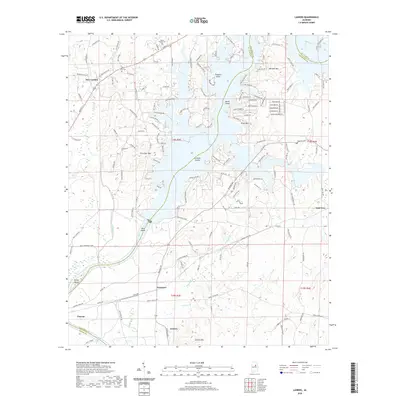 2020 Laniers2020 Print · USGSCovers Pell City, including Vincent, Willingham Estates, and other nearby areas
 - 2020 Map of Pell City, 2020 Print
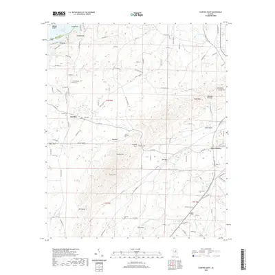
 2020 Pell City2020 Print · USGSCovers Pell City, including Stewarts, Pine Orchard, and other nearby areas
 - 2020 Map of Wattsville, 2020 Print
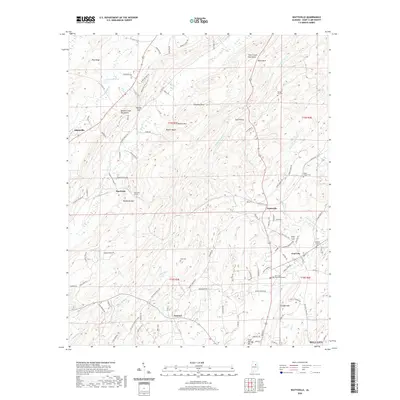 2020 Wattsville2020 Print · USGSCovers Pell City, including Odenville, Hardwick, and other nearby areas
 - 2024 Map of Wattsville, 2024 Print
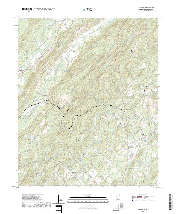 2024 Wattsville2024 Print · USGSSt. Clair County's ridgelines and creek valleys are mapped here in the modern era, showing the enduring geography between Odenville and Coal City. Family historians can pinpoint numerous local burial sites including Broken Arrow Cem and Harkeys Chapel Cem.
 - 2024 Map of Laniers, 2024 Print
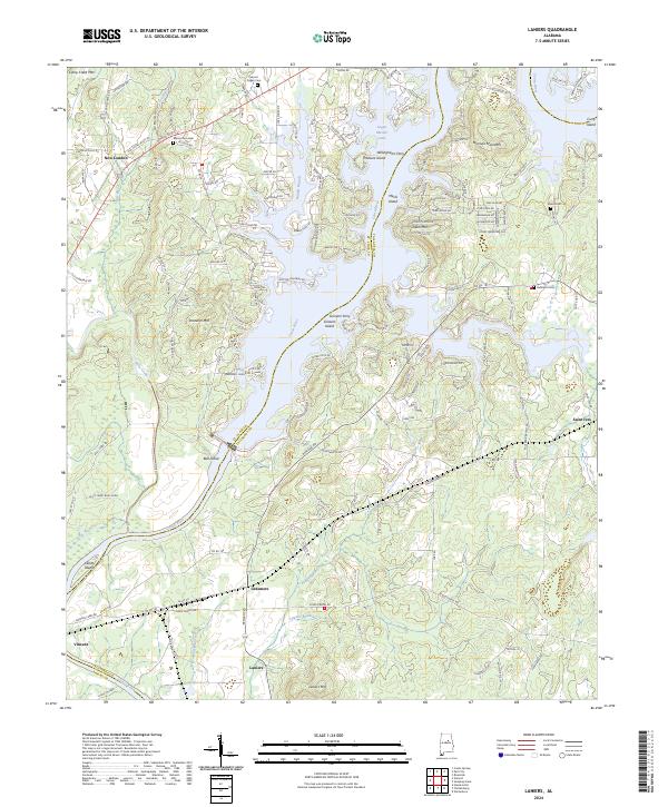 2024 Laniers2024 Print · USGSThe Talladega and St. Clair county lines meet here along the modern Coosa River valley and the shores of Logan Martin Lake. Researchers can trace family history through several sites like Mount Pisgah Cem, find the namesake settlement of Laniers, or locate the historic river crossing at Willinghams Ferry.
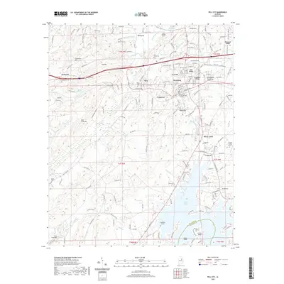
 - 2024 Map of Pell City, 2024 Print
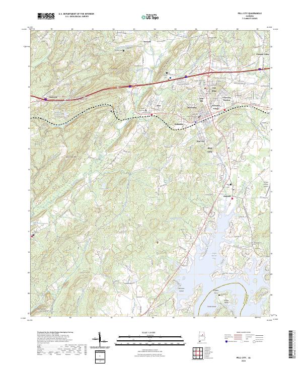 2024 Pell City2024 Print · USGSPell City and the surrounding St. Clair County landscape appear in detail as the area balances its mountain ridges and lakeside developments. Trace local lineage and landmarks through numerous sites like Valley Hill Cem, Avondale Village, and the Saint Clair County Courthouse.
 - 2024 Map of Riverside, 2024 Print
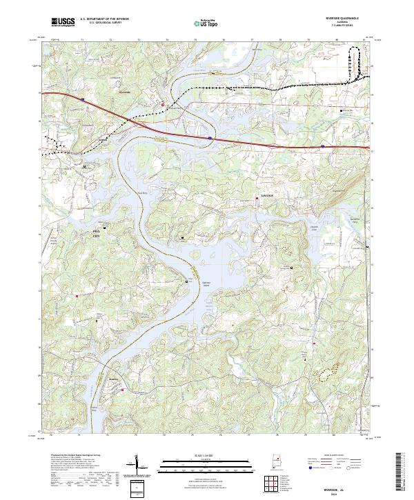 2024 Riverside2024 Print · USGSThe Coosa River valley at the St. Clair and Talladega county line shows a landscape transformed by the waters of Logan Martin Lake. Local historians can trace old river crossings like Truss Ferry and Colman Ferry or locate family sites like Walkers Family Cem.
 - 2024 Map of Sleeping Giant, 2024 Print
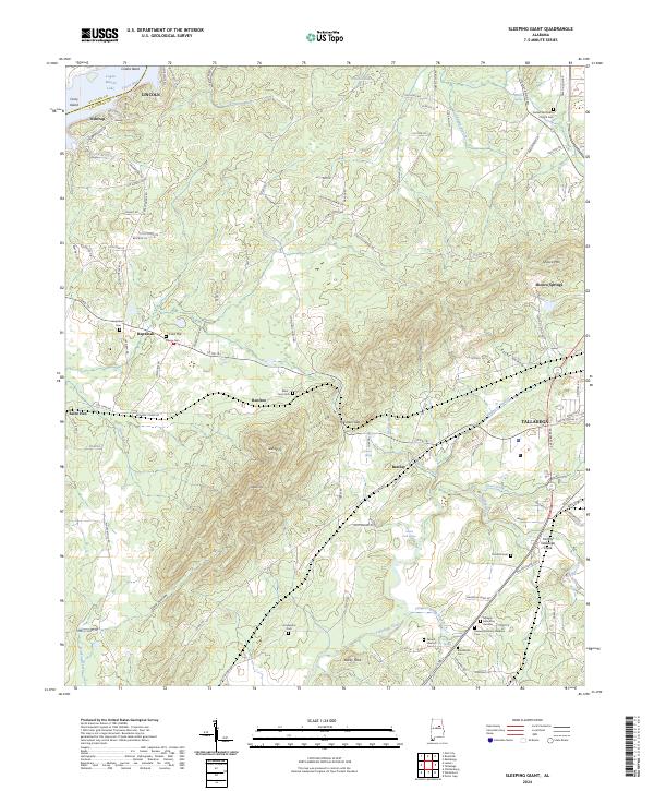 2024 Sleeping Giant2024 Print · USGSThe foothills of the Sleeping Giant mountains come to life in this contemporary survey of the Talladega area. Researchers can locate numerous historical burial sites such as Mardisville Cem and Thornhill Cem, or trace the Ford of Talladega Creek.
End of results
Showing maps 1-10 of 10
Top cities near Pell City
- Talladega historical maps
- Moody historical maps
- Lincoln historical maps
- Margaret historical maps
- Odenville historical maps
- Springville historical maps
See more
Top neighborhoods of Pell City
- Pine Orchard historical maps
- Stemley Cove historical maps
- Catatoga Estates historical maps
- Lakeview historical maps
- Carl Smith Subdivision historical maps
- Cropwell historical maps
See more
Frequently asked questions
- What are the different types of historical maps available for Pell City?
- What is the oldest map of Pell City?
- Where can I purchase historical maps of Pell City for my home or office?
- Where can I download high-res historical maps of Pell City?
- Are there historical topographic maps available for Pell City?
- Is there historical aerial imagery available for Pell City?
- Where are historical maps of Pell City sourced from?