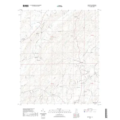
2020 Map of Wattsville
USGS Topo · Published 2020About this map
Beaver Creek Mountains and the Shoal Creek Mountains dominate the landscape of central St. Clair County, creating a rugged corridor for transportation and settlement. The CSX railroad cuts through the terrain, notably passing through the Hardwick Tunnel near Hardwick and Backbone Mtn. This corridor connects established communities like Odenville in the west to Wattsville and Coal City in the east. Numerous small family and community cemeteries, such as Spring Hill Cem, Popes Chapel Cem, and Karr Cem, are scattered across the ridges and valleys, providing significant points of interest for genealogical research. The drainage patterns of Broken Arrow Cr and Shoal Cr reveal the deep-cut topography of the region, while the northern edge of Pell City appears at the southern map margin near Savages Mtn.
Find a feature on this map
111 named features on this map. Tap any name to fly to it.
Don’t see what you’re looking for? This feature index may not catch every label — zoom into the map to look around manually.
Map Details
Editions of this 2020 Wattsville Map
This is the sole edition of this map. No revisions or reprints were ever made.
Other maps of this area

1889 · Springville
USGS Topo · 1:125,000

1892 · Springville
USGS Topo · 1:125,000

1947 · Cox Gap
USGS Topo · 1:24,000

1947 · Ragland
USGS Topo · 1:62,500

1947 · Ragland
USGS Topo · 1:24,000

1947 · Riverside
USGS Topo · 1:24,000

1947 · Steele
USGS Topo · 1:62,500

1953 · Birmingham
USGS Topo · 1:250,000

1956 · Birmingham
USGS Topo · 1:250,000

1957 · Birmingham
USGS Topo · 1:250,000