2020s Maps of Tallapoosa County, Alabama
Explore 49 historic maps of Tallapoosa County from the 2020s. These maps offer a rare glimpse into what life looked like during the 2020s — showing old roads, neighborhoods, homes, and landmarks that have changed or disappeared over time.
Whether you're researching your family's past, planning a metal detecting trip, or studying how Tallapoosa County's landscape evolved across the 2020s, these high-resolution maps are a powerful tool for exploring the history of this region.
- Focus on a specific era: All maps on this page are from the 2020s, giving you a focused view of this time period.
- See what’s changed: Compare century-old streets, trails, and buildings to today's modern landscape using overlays and satellite layers.
- Research with precision: Use these maps for genealogy, historical research, land use analysis, or educational projects.
- View, download, or print: Maps are fully viewable online in high resolution, and can be downloaded or printed for your own records.
Start exploring Tallapoosa County's history through authentic maps from the 2020s. This is your window into the past.
Tallapoosa County, AL maps
(49)- 2020 Map of Hackneyville, 2020 Print
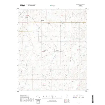 2020 Hackneyville2020 Print · USGSTallapoosa and Clay counties maintain their rural character in this recent survey of the Alabama countryside. Genealogists and local historians can trace family locations near Cleveland Crossroads and numerous burial sites like Hillabee Campground Cem or Old Providence Cem.
 - 2020 Map of Wadley South, 2020 Print
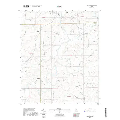 2020 Wadley South2020 Print · USGSEast Alabama's river-carved landscape comes into focus here, showing the rural communities of Randolph, Chambers, and Tallapoosa counties. Genealogists can trace family roots through numerous sites like Bibby Family Cem, Frog Eye, and Abanda.
 - 2020 Map of Daviston, 2020 Print
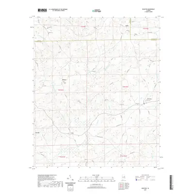 2020 Daviston2020 Print · USGSTallapoosa and Clay counties come together in this rural Alabama landscape during the early twenty-first century. Genealogists can trace family lines through numerous burial sites including Bethany Cem, Old Vickers Cem, and the County Line Cem.
 - 2020 Map of Buttston, 2020 Print
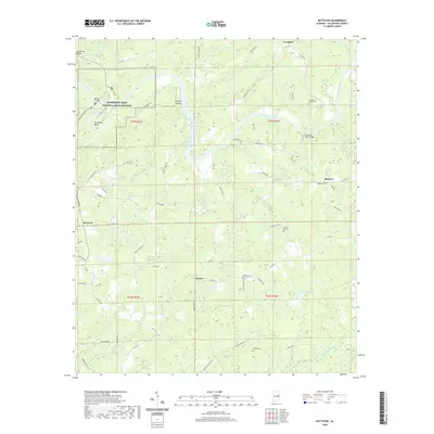 2020 Buttston2020 Print · USGSTallapoosa County in the modern era maintains its rural character and deep connection to the river. Researchers can trace family history through sites like Germany Family Cem or locate river crossings at Griffin Shoals and Germanys Ferry Bridge.
 - 2020 Map of Tallassee, 2020 Print
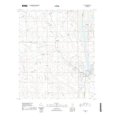 2020 Tallassee2020 Print · USGSCentral Alabama at the start of the 2020s shows the enduring relationship between the Tallapoosa River and the communities of Tallassee and Carrville. Genealogists and local historians can trace family locations near Rosehill Cem, Friendship, and Butts Mill.
 - 2020 Map of Our Town, 2020 Print
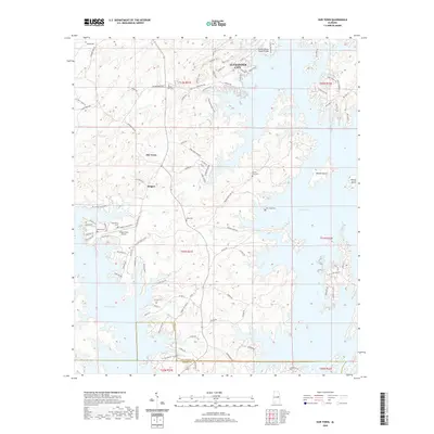 2020 Our Town2020 Print · USGSThe waters of Martin Lake define this region of Alabama in the early 21st century, surrounding communities like Our Town and Bulgers. Local history researchers can locate several burial grounds, including Friendship Cem and Mask Cem.
 - 2020 Map of Shorter, 2020 Print
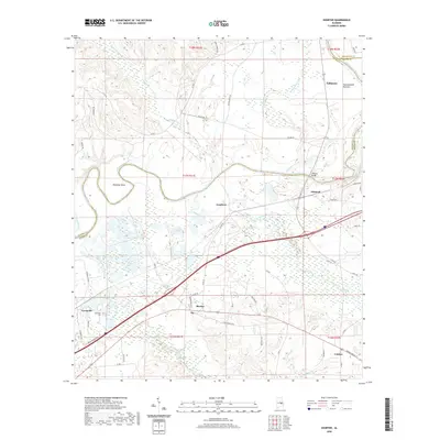 2020 Shorter2020 Print · USGSMacon and Elmore counties appear here during the transition into the 2020s, showcasing the rural settlements and river plains east of Montgomery. Researchers can trace family history through sites like Tysonville Cem or follow the path of the Old Federal Rd past Shorter and Milstead.
 - 2020 Map of La Place, 2020 Print
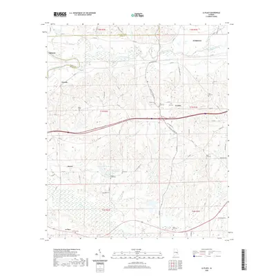 2020 La Place2020 Print · USGSMacon County's rural heartland is preserved in this recent survey, showing the agricultural and creek-fed landscape near the Tallapoosa. Genealogists can trace family heritage through a high density of local sites like Sweet Gum Cem, La Place, and Walker Chapel Cem.
 - 2020 Map of Ponders, 2020 Print
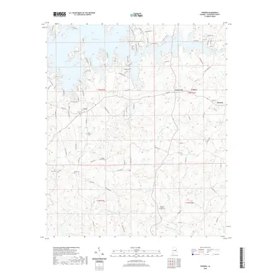 2020 Ponders2020 Print · USGSTallapoosa County's rural character and lakeside developments are captured here in the contemporary era. Researchers can pinpoint numerous family burial sites and country churches, including Harper Hill Cem, Beulah Cem, and the Old Sharon Primitive Baptist Cem.
 - 2020 Map of Camp Hill SE, 2020 Print
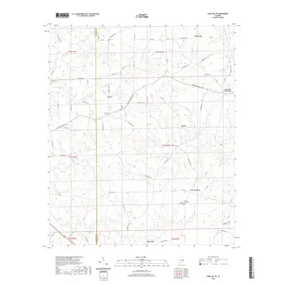 2020 Camp Hill SE2020 Print · USGSThe rural borderlands of Tallapoosa and Chambers counties are shown here in the contemporary era. Researchers can locate numerous family burial sites and small settlements like New Harmony, Judson, and the McCord Cem.
 - 2020 Map of Carrville, 2020 Print
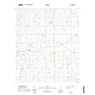 2020 Carrville2020 Print · USGSThe borderlands of Tallapoosa and Macon counties come into focus in the early twenty-first century, showing the rural communities surrounding Tallapoosa City. Genealogists can trace family names and locations at Reeltown Cem, Liberty Cem, and the historic site of Broach Mill.
 - 2020 Map of Kellyton, 2020 Print
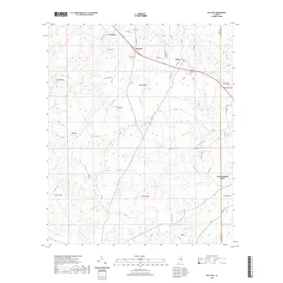 2020 Kellyton2020 Print · USGSTallapoosa and Coosa counties are captured here in 2020, showing a landscape of rural settlements and family-named landmarks. Genealogists can trace local roots through burial sites like Doctor Kellys Private Cem, Socapatoy Cem, and New Shiloh Cem.
 - 2020 Map of Red Hill, 2020 Print
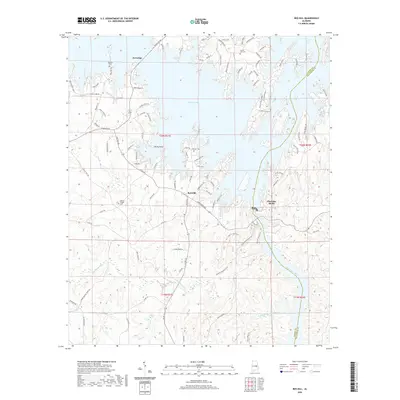 2020 Red Hill2020 Print · USGSElmore and Tallapoosa counties appear here in the modern era, defined by the expansive reaches of the Martin Lake reservoir. Genealogists and local historians can locate Watson Chapel Cem, Prospect Cem, and the old crossroads at Kowaliga.
 - 2020 Map of Equality, 2020 Print
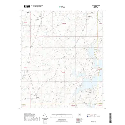 2020 Equality2020 Print · USGSThe rural borderlands of Coosa, Elmore, and Tallapoosa counties are captured here in the contemporary era. Researchers can locate numerous local landmarks such as Oakachoy Covered Bridge, Equality Cem, and the historic settlement of Nixburg.
 - 2020 Map of Waverly, 2020 Print
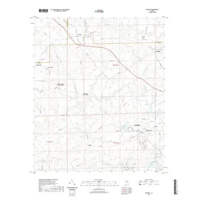 2020 Waverly2020 Print · USGSThe rural stretches of Lee and Chambers counties are captured here in the early twenty-first century as modern Auburn begins to meet traditional crossroads. Researchers can trace family history through several local landmarks including Waverly Cem, Gold Hill Cem, and the Maddox Family Cem.
 - 2020 Map of Camp Hill, 2020 Print
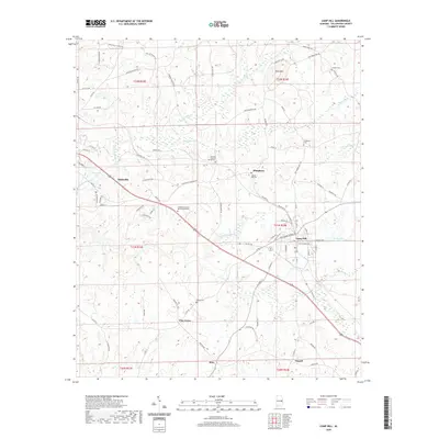 2020 Camp Hill2020 Print · USGSTallapoosa County during the late twenty-teens is documented here as the towns of Dadeville and Camp Hill continue to evolve. Genealogists and local historians can pinpoint family burial sites including Spring Hill Cem, Slaughters Cem, and the General Pearson Family Cem.
 - 2020 Map of Dadeville, 2020 Print
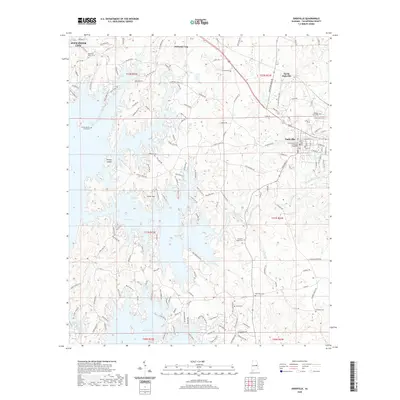 2020 Dadeville2020 Print · USGSTallapoosa County at the dawn of the 2020s shows a landscape shaped by the waters of Martin Lake and the civic history of Dadeville. Researchers can trace deep family roots at the Farrow Dennis Graveyard, Old Rocky Mount Cem, and the historic Tallapoosa County Courthouse Dadeville.
 - 2020 Map of Jacksons Gap, 2020 Print
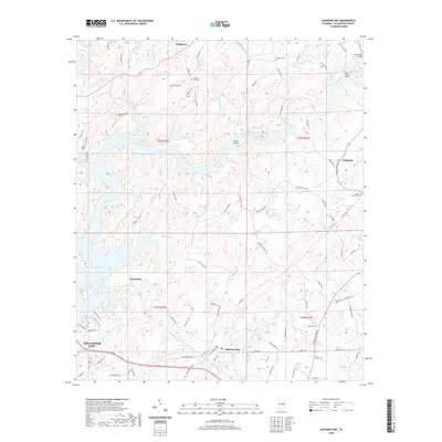 2020 Jacksons Gap2020 Print · USGSTallapoosa County in the modern era maintains a landscape shaped by its river systems and rural crossroads. Genealogists and local historians can trace family locations near Antioch Cem, Jacksons Gap, and the Hamlet Mill Bridge crossing.
 - 2020 Map of Thornton, 2020 Print
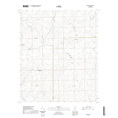 2020 Thornton2020 Print · USGSThe rural borders of Tallapoosa and Lee Counties are captured in this modern survey of the Alabama Piedmont. Genealogists and local historians can trace family ties at Meadows-Robinson Cem, Roxana Cem, and the community at Simmons Crossroads.
 - 2020 Map of Dudleyville, 2020 Print
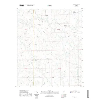 2020 Dudleyville2020 Print · USGSThe crossroads and rural communities along the Chambers and Tallapoosa county line are shown here in modern detail. Genealogists can locate several family burial grounds, including Sanders Cem, Waites Cem, and County Line Cem.
 - 2020 Map of Alexander City, 2020 Print
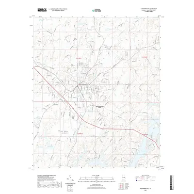 2020 Alexander City2020 Print · USGSAlexander City and Bevelle appear in this contemporary landscape just north of the expansive Martin Lake shoreline. Genealogists and local historians can locate several family burial grounds, such as Kennedy-Christian-Sasser Cem and Carver Heights Cem, or trace the municipal layout around the Tallapoosa County Courthouse.
 - 2020 Map of New Site, 2020 Print
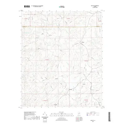 2020 New Site2020 Print · USGSTallapoosa County in the modern era maintains its quiet rural character across the ridges of Hog Mtn. Genealogists and local historians can trace legacy sites like Old Salem Cem, Bethlehem Cem, and the small community of Fosheeton.
 - 2021 Map of Notasulga, 2021 Print
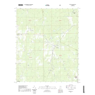 2021 Notasulga2021 Print · USGSNotasulga and the surrounding rural districts of Macon and Lee Counties are captured here in the early twenty-first century. Researchers can trace ancestral locations and local landmarks like McRitchie Mill, Shiloh Cemetery, and the Tuskegee National Forest.
 - 2021 Map of Goodwater, 2021 Print
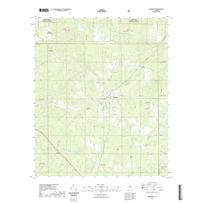 2021 Goodwater2021 Print · USGSCoosa County life in the early twenty-first century centers on the railroad town of Goodwater and the surrounding rural crossroads. Genealogists can trace family names at several local burial grounds, including Crestview Memorial Cem and Smyrna Cem near Smyrna Hill.
 - 2023 Map of Ponders, 2023 Print
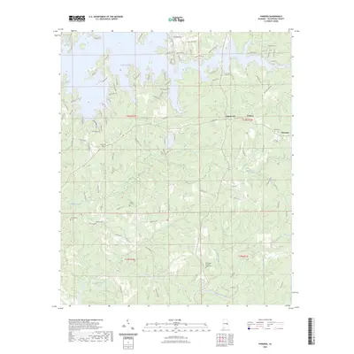 2023 Ponders2023 Print · USGSTallapoosa County's lakeside communities and rural townships are captured in this recent survey of the area surrounding Martin Lake. Local historians can trace family roots through numerous burial sites including Old Sharon Primitive Baptist Cem, Sardis Cem, and Union Cem.
Showing maps 1-25 of 49
Top cities of Tallapoosa County
- Alexander City historical maps
- Dadeville historical maps
- Camp Hill historical maps
- Reeltown historical maps
- New Site historical maps
- Jacksons' Gap historical maps
See more
Frequently asked questions
- What are the different types of historical maps available for Tallapoosa County?
- What is the oldest map of Tallapoosa County?
- Where can I purchase historical maps of Tallapoosa County for my home or office?
- Where can I download high-res historical maps of Tallapoosa County?
- Are there historical topographic maps available for Tallapoosa County?
- Is there historical aerial imagery available for Tallapoosa County?
- Where are historical maps of Tallapoosa County sourced from?