2000s (21st Century) Maps of Tuscaloosa, Alabama
Explore 51 historic maps of Tuscaloosa from the 2000s (21st Century). These maps offer a rare glimpse into what life looked like during the 2000s — showing old roads, neighborhoods, homes, and landmarks that have changed or disappeared over time.
Whether you're researching your family's past, planning a metal detecting trip, or studying how Tuscaloosa's landscape evolved across the 2000s, these high-resolution maps are a powerful tool for exploring the history of this region.
- Focus on a specific era: All maps on this page are from the 2000s, giving you a focused view of this time period.
- See what’s changed: Compare century-old streets, trails, and buildings to today's modern landscape using overlays and satellite layers.
- Research with precision: Use these maps for genealogy, historical research, land use analysis, or educational projects.
- View, download, or print: Maps are fully viewable online in high resolution, and can be downloaded or printed for your own records.
Start exploring Tuscaloosa's history through authentic maps from the 2000s. This is your window into the past.
Tuscaloosa, AL maps
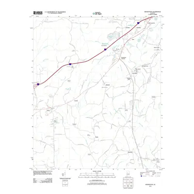
(51)- 2002 Map of Englewood, 2003 Print
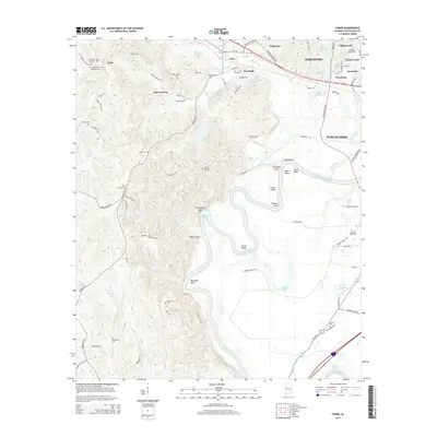
 2002 Englewood2003 Print · USGSTuscaloosa and Hale Counties appear in the early 21st century as a landscape of river bends and national forest. Researchers can trace the ancient earthworks at Mound State Mon, locate rural congregations like Zion Hope Ch, or find historical river access at Mcpherson Landing.
 - 2011 Map of Gin Creek, 2011 Print
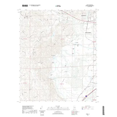
 2011 Gin Creek2011 Print · USGSCovers Tuscaloosa, including Wenwood, Montgomery Lakes, and other nearby areas
 - 2011 Map of Lake Tuscaloosa South, 2011 Print
 2011 Lake Tuscaloosa South2011 Print · USGSCovers Tuscaloosa, including Northport, Demarest, and other nearby areas
 - 2011 Map of Woodstock, 2011 Print
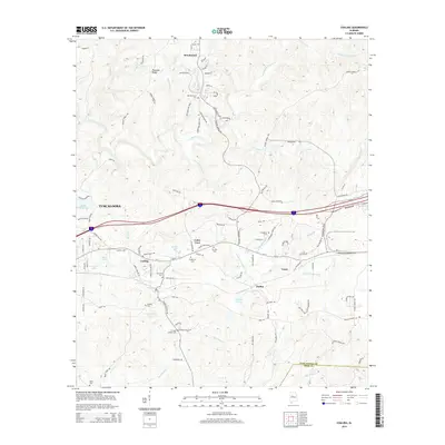
 2011 Woodstock2011 Print · USGSCovers Tuscaloosa, including Vance, Woodstock, and other nearby areas
 - 2011 Map of Coaling, 2011 Print
 2011 Coaling2011 Print · USGSCovers Tuscaloosa, including Brookwood, Vance, and other nearby areas
 - 2011 Map of Cottondale, 2011 Print
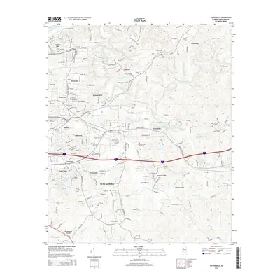
 2011 Cottondale2011 Print · USGSCovers Tuscaloosa, including Holt, Cottondale, and other nearby areas
 - 2011 Map of Coker, 2011 Print
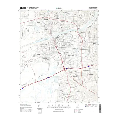
 2011 Coker2011 Print · USGSCovers Tuscaloosa, including Northport, Coker, and other nearby areas
 - 2011 Map of Lake Tuscaloosa North, 2011 Print
 2011 Lake Tuscaloosa North2011 Print · USGSCovers Tuscaloosa, including Holly Springs Subdivision, Hagler Mill Estates, and other nearby areas
 - 2011 Map of Lake Nicol, 2011 Print
 2011 Lake Nicol2011 Print · USGSCovers Tuscaloosa, including Grand Arbor, Shamley Green, and other nearby areas
 - 2011 Map of Englewood, 2011 Print
 2011 Englewood2011 Print · USGSCovers Tuscaloosa, including Moundville, Hinton Gardens, and other nearby areas
 - 2011 Map of Tuscaloosa, 2011 Print
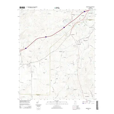
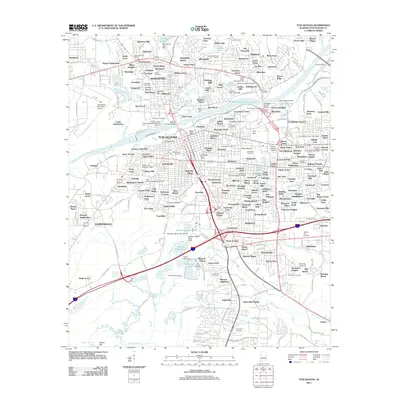 2011 Tuscaloosa2011 Print · USGSCovers Tuscaloosa, including Northport, Bellwood, and other nearby areas
 - 2014 Map of Cottondale, 2014 Print
 2014 Cottondale2014 Print · USGSCovers Tuscaloosa, including Holt, Cottondale, and other nearby areas
 - 2014 Map of Tuscaloosa, 2014 Print
 2014 Tuscaloosa2014 Print · USGSCovers Tuscaloosa, including Northport, Bellwood, and other nearby areas
 - 2014 Map of Coaling, 2014 Print
 2014 Coaling2014 Print · USGSCovers Tuscaloosa, including Brookwood, Vance, and other nearby areas
 - 2014 Map of Lake Tuscaloosa South, 2014 Print
 2014 Lake Tuscaloosa South2014 Print · USGSCovers Tuscaloosa, including Northport, Demarest, and other nearby areas
 - 2014 Map of Lake Tuscaloosa North, 2014 Print
 2014 Lake Tuscaloosa North2014 Print · USGSCovers Tuscaloosa, including Holly Springs Subdivision, Hagler Mill Estates, and other nearby areas
 - 2014 Map of Gin Creek, 2014 Print
 2014 Gin Creek2014 Print · USGSCovers Tuscaloosa, including Wenwood, Montgomery Lakes, and other nearby areas
 - 2014 Map of Englewood, 2014 Print
 2014 Englewood2014 Print · USGSCovers Tuscaloosa, including Moundville, Hinton Gardens, and other nearby areas
 - 2014 Map of Coker, 2014 Print
 2014 Coker2014 Print · USGSCovers Tuscaloosa, including Northport, Coker, and other nearby areas
 - 2014 Map of Lake Nicol, 2014 Print
 2014 Lake Nicol2014 Print · USGSCovers Tuscaloosa, including Grand Arbor, Shamley Green, and other nearby areas
 - 2014 Map of Woodstock, 2014 Print
 2014 Woodstock2014 Print · USGSCovers Tuscaloosa, including Vance, Woodstock, and other nearby areas
 - 2018 Map of Coker, 2018 Print
 2018 Coker2018 Print · USGSCovers Tuscaloosa, including Northport, Coker, and other nearby areas
 - 2018 Map of Lake Tuscaloosa South, 2018 Print
 2018 Lake Tuscaloosa South2018 Print · USGSCovers Tuscaloosa, including Northport, Demarest, and other nearby areas
 - 2018 Map of Lake Nicol, 2018 Print
 2018 Lake Nicol2018 Print · USGSCovers Tuscaloosa, including Grand Arbor, Shamley Green, and other nearby areas
 - 2018 Map of Lake Tuscaloosa North, 2018 Print
 2018 Lake Tuscaloosa North2018 Print · USGSCovers Tuscaloosa, including Holly Springs Subdivision, Hagler Mill Estates, and other nearby areas
Showing maps 1-25 of 51
Top cities near Tuscaloosa
- Northport historical maps
- Holt historical maps
- Cottondale historical maps
- Brookwood historical maps
- Vance historical maps
- Coaling historical maps
See more
Top neighborhoods of Tuscaloosa
- Driftwood Estates historical maps
- Dunbrook historical maps
- Four Winds historical maps
- Grand Arbor historical maps
- Shamley Green historical maps
- The Gates of Wellington historical maps
See more
Frequently asked questions
- What are the different types of historical maps available for Tuscaloosa?
- What is the oldest map of Tuscaloosa?
- Where can I purchase historical maps of Tuscaloosa for my home or office?
- Where can I download high-res historical maps of Tuscaloosa?
- Are there historical topographic maps available for Tuscaloosa?
- Is there historical aerial imagery available for Tuscaloosa?
- Where are historical maps of Tuscaloosa sourced from?