2010s Maps of Tuscaloosa, Alabama
Explore 30 historic maps of Tuscaloosa from the 2010s. These maps offer a rare glimpse into what life looked like during the 2010s — showing old roads, neighborhoods, homes, and landmarks that have changed or disappeared over time.
Whether you're researching your family's past, planning a metal detecting trip, or studying how Tuscaloosa's landscape evolved across the 2010s, these high-resolution maps are a powerful tool for exploring the history of this region.
- Focus on a specific era: All maps on this page are from the 2010s, giving you a focused view of this time period.
- See what’s changed: Compare century-old streets, trails, and buildings to today's modern landscape using overlays and satellite layers.
- Research with precision: Use these maps for genealogy, historical research, land use analysis, or educational projects.
- View, download, or print: Maps are fully viewable online in high resolution, and can be downloaded or printed for your own records.
Start exploring Tuscaloosa's history through authentic maps from the 2010s. This is your window into the past.
Tuscaloosa, AL maps
(30)- 2011 Map of Gin Creek, 2011 Print
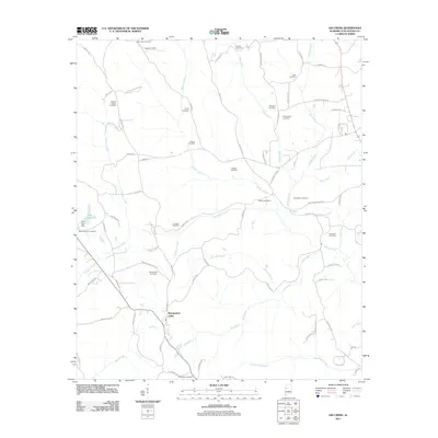 2011 Gin Creek2011 Print · USGSTuscaloosa County at the start of the 2010s reveals a rural landscape deeply rooted in family history and creek-side settlement. Genealogists and local historians can trace ancestral sites across nearly twenty burial grounds, from Phillips Chapel Cemetery to Nazareth Cemetery.
 - 2011 Map of Lake Tuscaloosa South, 2011 Print
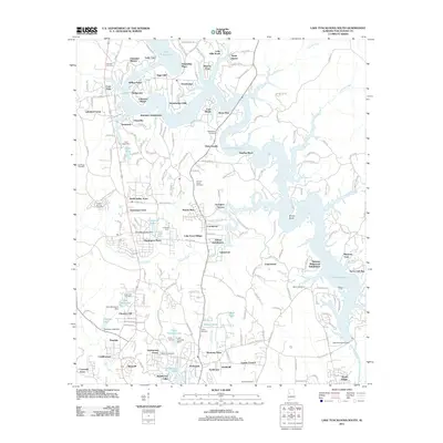 2011 Lake Tuscaloosa South2011 Print · USGSTuscaloosa County at the start of the 2010s shows a landscape transformed by the waters of the North River reservoir. Genealogists and local historians can trace legacy sites like Bakers Ford, Camp Tuscoha, and numerous family burial grounds including Shirley Cemetery.
 - 2011 Map of Woodstock, 2011 Print
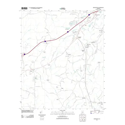 2011 Woodstock2011 Print · USGSTuscaloosa and Bibb counties are shown here as they appeared in the early twenty-first century, centered on the growing corridor between Vance and Woodstock. Genealogists can locate numerous local burial sites like Union Cemetery and Hopewell Cemetery or trace the Old Stagecoach Road.
 - 2011 Map of Coaling, 2011 Print
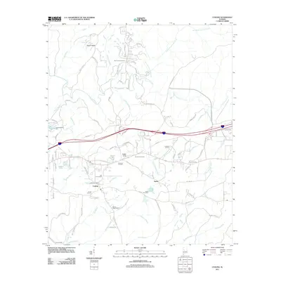 2011 Coaling2011 Print · USGSThe rural communities of Tuscaloosa County are documented here in the early twenty-first century as modern roads began to reshape the landscape. Researchers can trace local lineage through numerous sites like Big Hurricane Cemetery, Mount Zion Cemetery, and the Coaling Post Office.
 - 2011 Map of Cottondale, 2011 Print
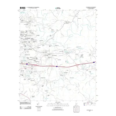 2011 Cottondale2011 Print · USGSEastern Tuscaloosa County in the early twenty-first century shows a complex landscape of expanding subdivisions and historic rural centers. Researchers can trace family roots through Ruhama Cemetery or locate landmarks like Prudes Mill Pond and Peterson Post Office.
 - 2011 Map of Coker, 2011 Print
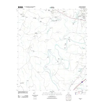 2011 Coker2011 Print · USGSTuscaloosa County at the start of the 2010s reveals a mix of deep river-bend history and modern residential growth. Genealogists and historians can trace numerous family-named landmarks and old burial sites, from Beautiful Zion Cemetery to the historic Bozeman Landing on the river.
 - 2011 Map of Lake Tuscaloosa North, 2011 Print
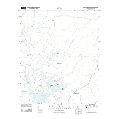 2011 Lake Tuscaloosa North2011 Print · USGSTuscaloosa County at the start of the decade shows a landscape shaped by the reservoir and rural tradition. Genealogists can trace family names at Old Prewitte Cemetery or Philadelphia Cemetery, while others can locate the Northside Gas Field and Samantha Post Office.
 - 2011 Map of Lake Nicol, 2011 Print
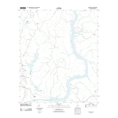 2011 Lake Nicol2011 Print · USGSTuscaloosa County in the early twenty-first century shows a landscape defined by large reservoirs and suburban growth. Researchers can locate family landmarks such as Center Cemetery and Howells Camp alongside the shores of Holt Lake.
 - 2011 Map of Englewood, 2011 Print
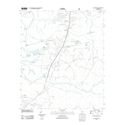 2011 Englewood2011 Print · USGSTuscaloosa County at the start of the 2010s shows a landscape of river landings and rural communities along the Black Warrior River. Researchers can trace family sites at Gilgal Cemetery, locate the settlements of Hull and Maxwell, or explore the reaches of Big Sandy Creek.
 - 2011 Map of Tuscaloosa, 2011 Print
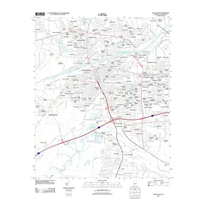 2011 Tuscaloosa2011 Print · USGSTuscaloosa and Northport are shown at a peak of modern development along the banks of the Black Warrior River. Genealogists and historians can trace campus growth at the University of Alabama or locate family plots in Evergreen Cemetery and Memory Hill Gardens.
 - 2014 Map of Cottondale, 2014 Print
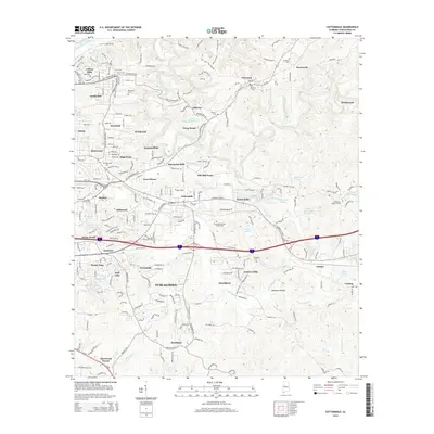 2014 Cottondale2014 Print · USGSTuscaloosa and Cottondale are shown during a period of significant growth east of the city center in the early twenty-first century. Genealogists and local historians can trace family sites at Ruhama Cem, explore the terrain of Opossum Hollow, and locate Prudes Mill Pond.
 - 2014 Map of Tuscaloosa, 2014 Print
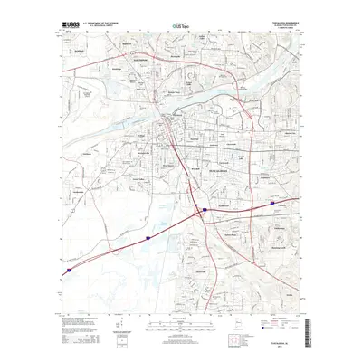 2014 Tuscaloosa2014 Print · USGSThe Black Warrior River corridor and the sprawling university campus dominate the landscape in the mid-2010s. Researchers can locate dozens of neighborhood burial grounds and landmarks like The Old Cem, Holman Bottom, and the Woolsey Finnell Bridge.
 - 2014 Map of Coaling, 2014 Print
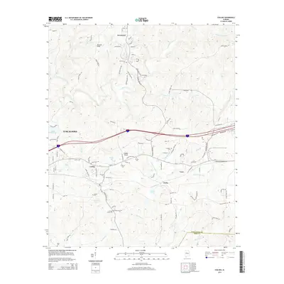 2014 Coaling2014 Print · USGSEastern Tuscaloosa County is shown here in the early 2010s as its small rural communities continued to evolve around the Interstate corridor. Genealogists can locate family landmarks like Mt Zion Cemetery, Coaling Cemetery, and Thomas Chapel Cemetery among the creeks and ridges.
 - 2014 Map of Lake Tuscaloosa South, 2014 Print
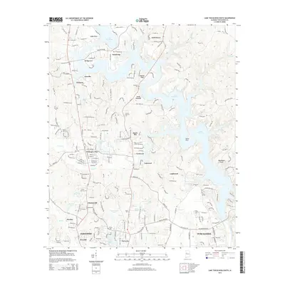 2014 Lake Tuscaloosa South2014 Print · USGSThe northern suburbs of Tuscaloosa and Northport are shown here as residential expansion meets the shores of Lake Tuscaloosa. Researchers can trace local lineage through several small burial grounds like Bethel Cem and Macedonia Cem.
 - 2014 Map of Lake Tuscaloosa North, 2014 Print
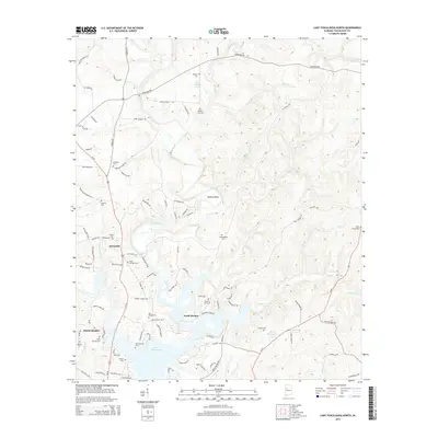 2014 Lake Tuscaloosa North2014 Print · USGSTuscaloosa County north of the city was a landscape of deep river bends and numerous family cemeteries in the early 2010s. Researchers can trace local roots at Philadelphia Cem and Arbor Springs Cem or locate the old Thomas Mill Br near Samantha.
 - 2014 Map of Gin Creek, 2014 Print
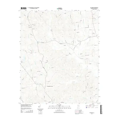 2014 Gin Creek2014 Print · USGSTuscaloosa County’s rolling hills and creek valleys are captured here in the early 21st century. Researchers can locate dozens of localized burial sites and family landmarks, from Espy Springs to Montgomery Lakes and Nazareth Cem.
 - 2014 Map of Englewood, 2014 Print
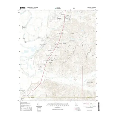 2014 Englewood2014 Print · USGSTuscaloosa County at the start of the 2010s shows a landscape of academic growth and deep river history. Local researchers can find family landmarks like Little Sandy Cem or trace the Carthage Branch rail line near Moundville.
 - 2014 Map of Coker, 2014 Print
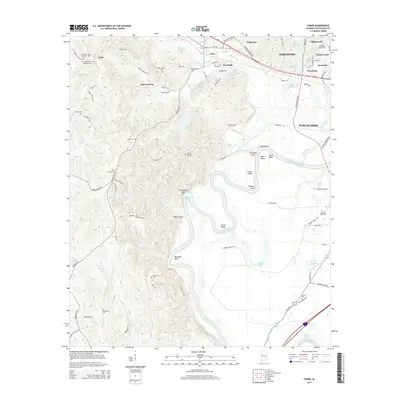 2014 Coker2014 Print · USGSTuscaloosa County at the start of the 2010s shows a landscape of river bends and rural communities. Researchers can trace historic family burial sites like Old Liberty Cem and Cornelius Chapel Number 1 Cem or follow the path of the Black Warrior River past Twelvemile Rock.
 - 2014 Map of Lake Nicol, 2014 Print
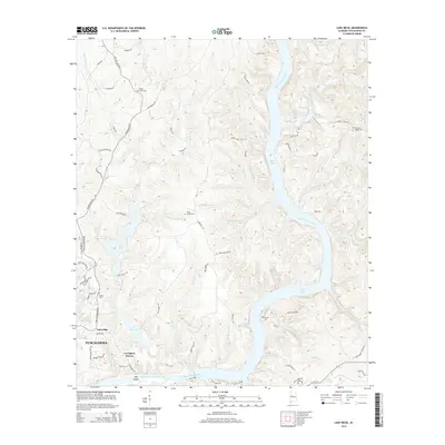 2014 Lake Nicol2014 Print · USGSThe northern reaches of Tuscaloosa are defined by the winding Black Warrior River and its vast reservoirs in the mid-2010s. Researchers can trace ancestral sites at Yellow Creek Cem or Piney Grove Cem and explore the rugged shores of Lake Nicol.
 - 2014 Map of Woodstock, 2014 Print
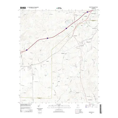 2014 Woodstock2014 Print · USGSThe borderlands of Tuscaloosa and Bibb counties were thriving hubs of transit and community in the early twenty-first century. Researchers can locate numerous family and community burial sites like Union Cem and Hickory Hill Cem near settlements such as Woodstock and West Blocton.
 - 2018 Map of Coker, 2018 Print
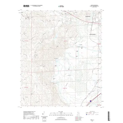 2018 Coker2018 Print · USGSThe Black Warrior River valley near Northport and Tuscaloosa comes into focus here during the late 2010s. Family historians can trace local roots through numerous sites like Old Liberty Cem, Cornelius Chapel, and Beautiful Zion Cem.
 - 2018 Map of Lake Tuscaloosa South, 2018 Print
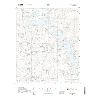 2018 Lake Tuscaloosa South2018 Print · USGSNorth of the Black Warrior River in the late 2010s, this area shows the meeting point of lakeside recreation and suburban growth. Genealogists and local historians can trace many family burial grounds, including Chapel Hill Cem, Oak Ridge Cem, and Shirley Cem.
 - 2018 Map of Lake Nicol, 2018 Print
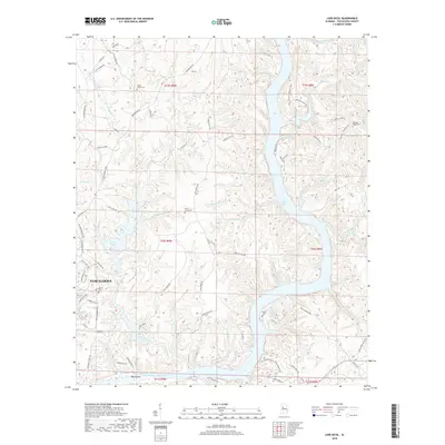 2018 Lake Nicol2018 Print · USGSTuscaloosa County at the dawn of the twenty-first century shows a landscape transformed by massive reservoirs and suburban growth. Genealogists can trace family roots through several rural burial grounds like Yellow Creek Cemetery and Pleasant Ridge Cemetery while navigating the ridges along Watermelon Road.
 - 2018 Map of Lake Tuscaloosa North, 2018 Print
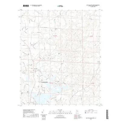 2018 Lake Tuscaloosa North2018 Print · USGSIn the hills of Tuscaloosa County during the late 2010s, this area shows the rural character of the land north of the city. Genealogists can trace family heritage at Old Prewitte Cem, Arbor Springs Cem, and landmarks near the settlement of Samantha.
 - 2018 Map of Gin Creek, 2018 Print
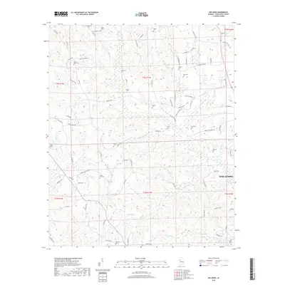 2018 Gin Creek2018 Print · USGSTuscaloosa County's rural northern landscape is captured here in the late twenty-teens, showing the quiet ridges and creek valleys near Tuscaloosa. Researchers can locate dozens of historic burial sites and family landmarks, including Phillips Chapel Cem, Espy Springs, and Mount Hebron Cem.
Showing maps 1-25 of 30
Top cities near Tuscaloosa
- Northport historical maps
- Holt historical maps
- Cottondale historical maps
- Brookwood historical maps
- Vance historical maps
- Coaling historical maps
See more
Top neighborhoods of Tuscaloosa
- Driftwood Estates historical maps
- Dunbrook historical maps
- Four Winds historical maps
- Grand Arbor historical maps
- Shamley Green historical maps
- The Gates of Wellington historical maps
See more
Frequently asked questions
- What are the different types of historical maps available for Tuscaloosa?
- What is the oldest map of Tuscaloosa?
- Where can I purchase historical maps of Tuscaloosa for my home or office?
- Where can I download high-res historical maps of Tuscaloosa?
- Are there historical topographic maps available for Tuscaloosa?
- Is there historical aerial imagery available for Tuscaloosa?
- Where are historical maps of Tuscaloosa sourced from?