2000s (21st Century) Maps of Tanana Valley, Anchorage
Explore 5 historic maps of Tanana Valley from the 2000s (21st Century). These maps offer a rare glimpse into what life looked like during the 2000s — showing old roads, neighborhoods, homes, and landmarks that have changed or disappeared over time.
Whether you're researching your family's past, planning a metal detecting trip, or studying how Tanana Valley's landscape evolved across the 2000s, these high-resolution maps are a powerful tool for exploring the history of this region.
- Focus on a specific era: All maps on this page are from the 2000s, giving you a focused view of this time period.
- See what’s changed: Compare century-old streets, trails, and buildings to today's modern landscape using overlays and satellite layers.
- Research with precision: Use these maps for genealogy, historical research, land use analysis, or educational projects.
- View, download, or print: Maps are fully viewable online in high resolution, and can be downloaded or printed for your own records.
Start exploring Tanana Valley's history through authentic maps from the 2000s. This is your window into the past.
Tanana Valley, Anchorage maps
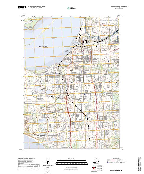
(5)- 2016 Map of Anchorage A-8 NW, 2016 Print
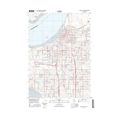 2016 Anchorage A-8 NW2016 Print · USGSCovers Tanana Valley, including Anchorage, Campbell, and other nearby areas
 - 2019 Map of Tyonek A-1 NE, 2019 Print
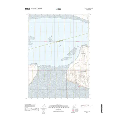 2019 Tyonek A-1 NE2019 Print · USGSCovers Tanana Valley, including Matanuska-Susitna, Anchorage, and other nearby areas
 - 2019 Map of Anchorage A-8 NW, 2019 Print
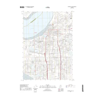 2019 Anchorage A-8 NW2019 Print · USGSCovers Tanana Valley, including Anchorage, Campbell, and other nearby areas
 - 2023 Map of Tyonek A-1 NE, 2023 Print
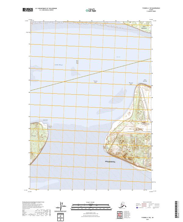 2023 Tyonek A-1 NE2023 Print · USGSAnchorage at the edge of the Cook Inlet is captured here in 2023, showing the intersection of major aviation hubs and coastal terrain. Trace the modern footprint of Ted Stevens Anchorage International Airport and explore the shores of Fire Island.
 - 2023 Map of Anchorage A-8 NW, 2023 Print
 2023 Anchorage A-8 NW2023 Print · USGSAnchorage at the start of the 2020s shows a modern cityscape integrated with its complex coastal hydrology. Researchers can trace neighborhood development from Bootlegger Cove to Spenard or locate landmarks like Merrill Field and the Boney Courthouse.
End of results
Showing maps 1-5 of 5
Frequently asked questions
- What are the different types of historical maps available for Tanana Valley?
- What is the oldest map of Tanana Valley?
- Where can I purchase historical maps of Tanana Valley for my home or office?
- Where can I download high-res historical maps of Tanana Valley?
- Are there historical topographic maps available for Tanana Valley?
- Is there historical aerial imagery available for Tanana Valley?
- Where are historical maps of Tanana Valley sourced from?