Old Maps of Tanana Valley, Anchorage for Genealogy
Trace your family roots with 16 historic maps of Tanana Valley. These high-res maps reveal old neighborhoods, homesites, landmarks, and streets — helping you uncover where your ancestors lived and how the area evolved over time.
- Explore historic neighborhoods: Identify where your relatives may have lived in the 1800s or 1900s.
- Compare maps over time: Trace the changes in streets, buildings, and landmarks for multi-generational research.
- Perfect for genealogy & ancestry research: Used by family historians and researchers to map out lineage and migration.
These maps are an incredible resource for exploring your personal connection to Tanana Valley's past.
Tanana Valley, Anchorage maps
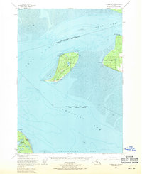
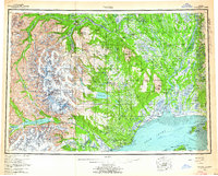
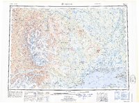
(16)- 1949 Map of Tyonek, 1954 Print
 1949 Tyonek1954 Print · USGSCovers Tanana Valley, including Willow, Beluga, and other nearby areas2 unique versions available
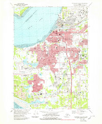
 - 1951 Map of Anchorage
 1951 Anchorage1951 Print · USGSCovers Tanana Valley, including Anchorage, Wasilla, and other nearby areas4 unique versions available
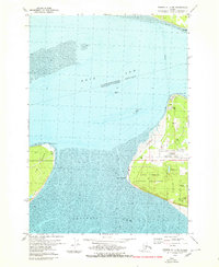
 - 1951 Map of Tyonek
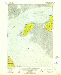
 1951 Tyonek1951 Print · USGSCovers Tanana Valley, including Willow, Beluga, and other nearby areas
 - 1951 Map of Tyonek A-1, 1971 Print
 1951 Tyonek A-11971 Print · USGSCovers Tanana Valley, including Matanuska-Susitna, Kenai Peninsula, and other nearby areas2 unique versions available
 - 1952 Map of Tyonek A-1, 1954 Print
 1952 Tyonek A-11954 Print · USGSCovers Tanana Valley, including Matanuska-Susitna, Kenai Peninsula, and other nearby areas3 unique versions available
 - 1952 Map of Anchorage A-8, 1963 Print
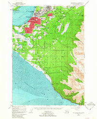 1952 Anchorage A-81963 Print · USGSCovers Tanana Valley, including Anchorage, Wilson Village, and other nearby areas4 unique versions available
 - 1953 Map of Anchorage A-8, 1954 Print
 1953 Anchorage A-81954 Print · USGSCovers Tanana Valley, including Anchorage, Wilson Village, and other nearby areas2 unique versions available
 - 1958 Map of Tyonek, 1964 Print
 1958 Tyonek1964 Print · USGSCovers Tanana Valley, including Willow, Beluga, and other nearby areas6 unique versions available
 - 1962 Map of Anchorage, 1966 Print
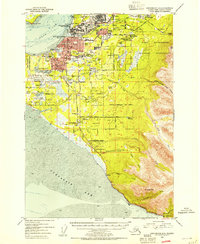
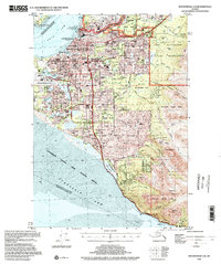
 1962 Anchorage1966 Print · USGSCovers Tanana Valley, including Anchorage, Wasilla, and other nearby areas6 unique versions available
 - 1965 Map of Tyonek
 1965 Tyonek1965 Print · USGSCovers Tanana Valley, including Willow, Beluga, and other nearby areas
 - 1979 Map of Anchorage A-8 NW
 1979 Anchorage A-8 NW1979 Print · USGSCovers Tanana Valley, including Anchorage, Wilson Village, and other nearby areas3 unique versions available
 - 1979 Map of Anchorage, 1980 Print
 1979 Anchorage1980 Print · USGSCovers Tanana Valley, including Anchorage, Wasilla, and other nearby areas
 - 1979 Map of Tyonek A-1 NE, 1980 Print
 1979 Tyonek A-1 NE1980 Print · USGSCovers Tanana Valley, including Matanuska-Susitna, Anchorage, and other nearby areas2 unique versions available
 - 1994 Map of Anchorage A-8, 2002 Print
 1994 Anchorage A-82002 Print · USGSCovers Tanana Valley, including Anchorage, Wilson Village, and other nearby areas
 - 2023 Map of Tyonek A-1 NE, 2023 Print
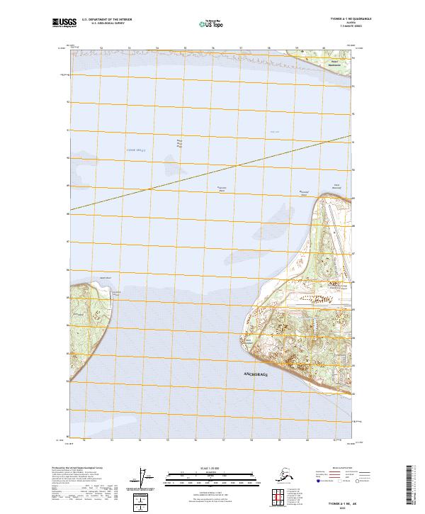 2023 Tyonek A-1 NE2023 Print · USGSCovers Tanana Valley, including Matanuska-Susitna, Anchorage, and other nearby areas
 - 2023 Map of Anchorage A-8 NW, 2023 Print
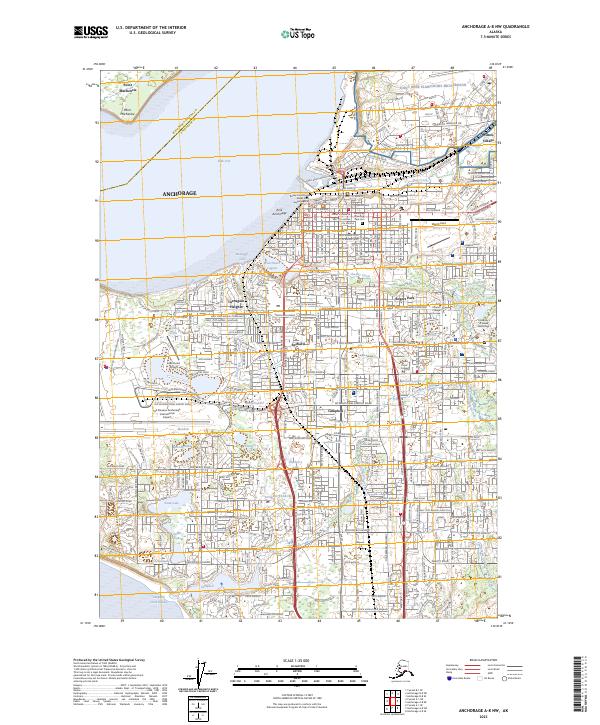 2023 Anchorage A-8 NW2023 Print · USGSCovers Tanana Valley, including Anchorage, Campbell, and other nearby areas
End of results
Showing maps 1-16 of 16
Frequently asked questions
- What are the different types of historical maps available for Tanana Valley?
- What is the oldest map of Tanana Valley?
- Where can I purchase historical maps of Tanana Valley for my home or office?
- Where can I download high-res historical maps of Tanana Valley?
- Are there historical topographic maps available for Tanana Valley?
- Is there historical aerial imagery available for Tanana Valley?
- Where are historical maps of Tanana Valley sourced from?