Old Maps of Chuathbaluk, Alaska for Genealogy
Trace your family roots with 6 historic maps of Chuathbaluk. These high-res maps reveal old neighborhoods, homesites, landmarks, and streets — helping you uncover where your ancestors lived and how the area evolved over time.
- Explore historic neighborhoods: Identify where your relatives may have lived in the 1800s or 1900s.
- Compare maps over time: Trace the changes in streets, buildings, and landmarks for multi-generational research.
- Perfect for genealogy & ancestry research: Used by family historians and researchers to map out lineage and migration.
These maps are an incredible resource for exploring your personal connection to Chuathbaluk's past.
Chuathbaluk, AK maps
(6)- 1947 Map of Russian Mission, 1957 Print
 1947 Russian Mission1957 Print · USGSSouthwest Alaska in the late 1940s is mapped here as a vast network of river settlements and mountain outposts. Researchers can trace historic river life and early aviation at Russian Mission, Kako Air Field, and Crow Village.2 unique versions available
 - 1950 Map of Russian Mission
 1950 Russian Mission1950 Print · USGSThe Yukon-Kuskokwim Delta region comes alive in the early post-war era, showing the river-bound lifeways of the Alaskan interior. Local historians and genealogists can trace remote outposts like Russian Mission, Dogfish Village, and Nyac, or locate family sites like Phillips Broe.
 - 1952 Map of Russian Mission C-1, 1960 Print
 1952 Russian Mission C-11960 Print · USGSThe Russian Mission area in the early fifties was a critical junction of river travel and inland trails. Genealogists and historians can locate remote riverside Cabins and trace the Winter Trail as it heads toward the Russian Mountains.2 unique versions available
 - 1980 Map of Russian Mission
 1980 Russian Mission1980 Print · USGSThe Yukon and Kuskokwim river basins are detailed here during the late twentieth century, showing a network of remote villages and seasonal camps. Researchers can trace traditional travel routes and settlements like Russian Mission, Chuathbaluk, and the historic Portage Trail.3 unique versions available
 - 2019 Map of Russian Mission C-1 SE, 2019 Print
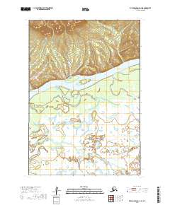 2019 Russian Mission C-1 SE2019 Print · USGSThe Kuskokwim River corridor in the Bethel Census Area is shown here as it appeared in 2019, revealing a landscape of winding waterways and vast wetlands. Researchers can trace the meandering path of the Kuskokwim River and the smaller Doestock Cr as they cut through the subarctic terrain.
 - 2019 Map of Russian Mission C-1 SW, 2019 Print
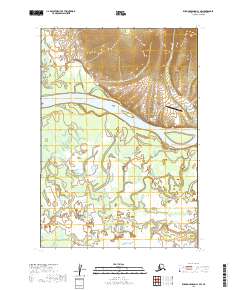 2019 Russian Mission C-1 SW2019 Print · USGSThe village of Chuathbaluk on the Kuskokwim River is shown here in the late 2010s. Researchers can trace local infrastructure including the Saint Sergius Church, the Graveyard, and the Chuathbaluk Airport.
End of results
Showing maps 1-6 of 6
Frequently asked questions
- What are the different types of historical maps available for Chuathbaluk?
- What is the oldest map of Chuathbaluk?
- Where can I purchase historical maps of Chuathbaluk for my home or office?
- Where can I download high-res historical maps of Chuathbaluk?
- Are there historical topographic maps available for Chuathbaluk?
- Is there historical aerial imagery available for Chuathbaluk?
- Where are historical maps of Chuathbaluk sourced from?