Old Maps of Northway Junction, Alaska for Genealogy
Trace your family roots with 8 historic maps of Northway Junction. These high-res maps reveal old neighborhoods, homesites, landmarks, and streets — helping you uncover where your ancestors lived and how the area evolved over time.
- Explore historic neighborhoods: Identify where your relatives may have lived in the 1800s or 1900s.
- Compare maps over time: Trace the changes in streets, buildings, and landmarks for multi-generational research.
- Perfect for genealogy & ancestry research: Used by family historians and researchers to map out lineage and migration.
These maps are an incredible resource for exploring your personal connection to Northway Junction's past.
Northway Junction, AK maps
(8)- 1949 Map of Tanacross, 1958 Print
 1949 Tanacross1958 Print · USGSThe Alaska interior at the dawn of the 1950s shows a landscape of new highways and strategic airfields carved into the wilderness. Researchers can trace the junction of the Alaska Highway and Taylor Highway or locate remote outposts like Mansfield Village and the U S Customhouse.2 unique versions available
 - 1950 Map of Tanacross
 1950 Tanacross1950 Print · USGSEastern Alaska's interior in the mid-twentieth century was a landscape of pioneering roads and traditional river settlements. Genealogists and historians can locate the Tetlin Indian Reservation, the early layout of Tok Junction, and remote outposts like Fortymile House.2 unique versions available
 - 1954 Map of Tanacross A-2, 1958 Print
 1954 Tanacross A-21958 Print · USGSThe interior of Alaska is shown here in the mid-1950s as the modern highway network began to shape the wilderness. Researchers can locate early travel stops like the Beaver Creek Roadhouse and industrial infrastructure such as the Aboveground Pipeline and the Northway Junction.
 - 1955 Map of Tanacross A-2, 1962 Print
 1955 Tanacross A-21962 Print · USGSThe Alaska interior in the mid-1950s was a landscape defined by river confluences and the lifeline of the highway. Genealogists and historians can trace early roadside infrastructure at Beaver Creek Roadhouse and Northway Junction along the Alaska Highway.2 unique versions available
 - 1956 Map of Tanacross, 1968 Print
 1956 Tanacross1968 Print · USGSThe Tanana Valley in the mid-fifties is captured here as a vital hub where the Alaska Highway met the Glenn Highway. Researchers can trace the layout of Tetlin Indian Reservation, the old Mansfield Village, and the remote Mitchell Ranch.5 unique versions available
 - 1964 Map of Tanacross, 1965 Print
 1964 Tanacross1965 Print · USGSThe Upper Tanana region in the mid-1960s shows a landscape of river settlements and early highway development. Researchers can trace the Taylor Highway and Eagle Trail to remote sites like Mansfield Village, Mitchells Ranch, and Last Tetlin Village.2 unique versions available
 - 2013 Map of Tanacross A-2 SW, 2013 Print
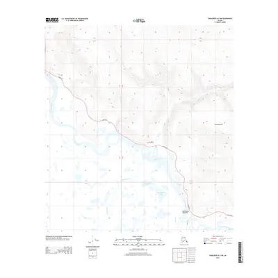 2013 Tanacross A-2 SW2013 Print · USGSCovers Northway Junction, including Unorganized Borough, United States, and other nearby areas
 - 2024 Map of Tanacross A-2 SW, 2024 Print
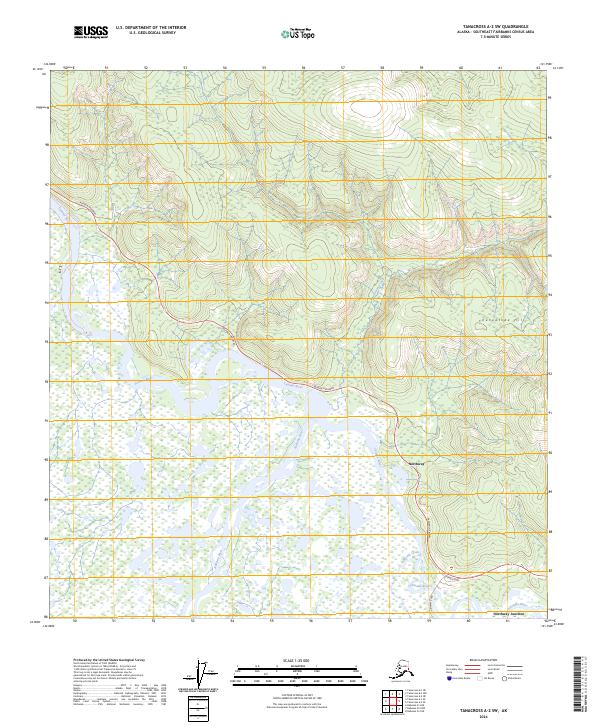 2024 Tanacross A-2 SW2024 Print · USGSThe convergence of the Nabesna and Chisana rivers in eastern Alaska is captured here in the early twenty-first century. Researchers can trace the development of Northway and Northway Junction along the Alaska Highway and the Tetlin National Wildlife Refuge boundary.
End of results
Showing maps 1-8 of 8
Frequently asked questions
- What are the different types of historical maps available for Northway Junction?
- What is the oldest map of Northway Junction?
- Where can I purchase historical maps of Northway Junction for my home or office?
- Where can I download high-res historical maps of Northway Junction?
- Are there historical topographic maps available for Northway Junction?
- Is there historical aerial imagery available for Northway Junction?
- Where are historical maps of Northway Junction sourced from?