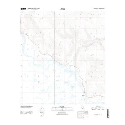
2013 Map of Tanacross A-2 SW
USGS Topo · Published 2013About this map
Northway Junction serves as the primary node of activity in this Alaskan interior landscape, situated where the Alaska Hwy meets the winding Chisana River. This 2013 survey illustrates a complex hydrological network defined by the braids of the Tanana River and the Nabesna River. These glacial waterways feed a series of large, low-lying water bodies including Shashamund Lake and Thadthamund Lake, which dominate the central flats. The topography shifts abruptly from these wetlands toward the northeast, rising to the prominence of Cheneathda Hill. Further north along the highway, the Beaver Creek Roadhouse stands as a notable landmark for travelers and local history researchers, marking a traditional stop-point in the vast territory between the rivers and the highland divides.
Find a feature on this map
15 named features on this map. Tap any name to fly to it.
Don’t see what you’re looking for? This feature index may not catch every label — zoom into the map to look around manually.
Map Details
Editions of this 2013 Tanacross A-2 SW Map
This is the sole edition of this map. No revisions or reprints were ever made.
Other maps of this area

1948 · Tanacross A-3
USGS Topo · 1:63,360

1949 · Tanacross
USGS Topo · 1:250,000

1950 · Tanacross
USGS Topo · 1:250,000

1950 · Nabesna
USGS Topo · 1:250,000

1951 · Nabesna
USGS Topo · 1:250,000

1952 · Tanacross A-3
USGS Topo · 1:63,360

1954 · Tanacross A-2
USGS Topo · 1:63,360

1954 · Nabesna D-2
USGS Topo · 1:63,360

1954 · Nabesna D-3
USGS Topo · 1:63,360

1955 · Nabesna D-3
USGS Topo · 1:63,360