Old Maps of Bledsoe, Sierra Vista for Genealogy
Trace your family roots with 13 historic maps of Bledsoe. These high-res maps reveal old neighborhoods, homesites, landmarks, and streets — helping you uncover where your ancestors lived and how the area evolved over time.
- Explore historic neighborhoods: Identify where your relatives may have lived in the 1800s or 1900s.
- Compare maps over time: Trace the changes in streets, buildings, and landmarks for multi-generational research.
- Perfect for genealogy & ancestry research: Used by family historians and researchers to map out lineage and migration.
These maps are an incredible resource for exploring your personal connection to Bledsoe's past.
Bledsoe, Sierra Vista maps
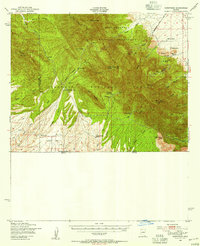
(13)- 1914 Map of Hereford
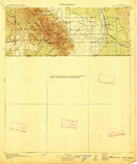 1914 Hereford1914 Print · USGSCovers Bledsoe, including Sierra Vista, Cuitaca, and other nearby areas3 unique versions available
 - 1922 Map of Sunnyside, 1926 Print
 1922 Sunnyside1926 Print · USGSCovers Bledsoe, including Sierra Vista, Ramsey, and other nearby areas
 - 1938 Map of Sunnyside
 1938 Sunnyside1938 Print · USGSCovers Bledsoe, including Sierra Vista, Ramsey, and other nearby areas2 unique versions available
 - 1948 Map of Miller Peak, 1953 Print
 1948 Miller Peak1953 Print · USGSCovers Bledsoe, including Sierra Vista, Ramsey, and other nearby areas
 - 1948 Map of Sunnyside, 1956 Print
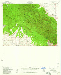
 1948 Sunnyside1956 Print · USGSCovers Bledsoe, including Sierra Vista, Ramsey, and other nearby areas
 - 1956 Map of Nogales, 1963 Print
 1956 Nogales1963 Print · USGSCovers Bledsoe, including Tucson, Heroica Nogales, and other nearby areas4 unique versions available
 - 1958 Map of Nogales
 1958 Nogales1958 Print · USGSCovers Bledsoe, including Tucson, Heroica Nogales, and other nearby areas
 - 1958 Map of Miller Peak, 1959 Print
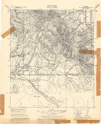
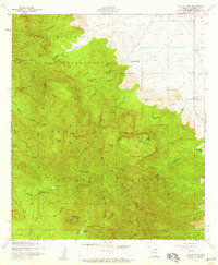 1958 Miller Peak1959 Print · USGSCovers Bledsoe, including Sierra Vista, Ramsey, and other nearby areas4 unique versions available
 - 1958 Map of Sunnyside, 1959 Print
 1958 Sunnyside1959 Print · USGSCovers Bledsoe, including Sierra Vista, Ramsey, and other nearby areas2 unique versions available
 - 1959 Map of Nogales
 1959 Nogales1959 Print · USGSCovers Bledsoe, including Tucson, Heroica Nogales, and other nearby areas
 - 1994 Map of Nogales
 1994 Nogales1994 Print · USGSCovers Bledsoe, including Heroica Nogales, Sierra Vista, and other nearby areas2 unique versions available
 - 1996 Map of Miller Peak, 2002 Print
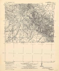
 1996 Miller Peak2002 Print · USGSCovers Bledsoe, including Sierra Vista, Ramsey, and other nearby areas
 - 2021 Map of Miller Peak, 2021 Print
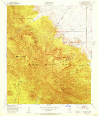
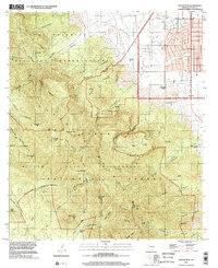
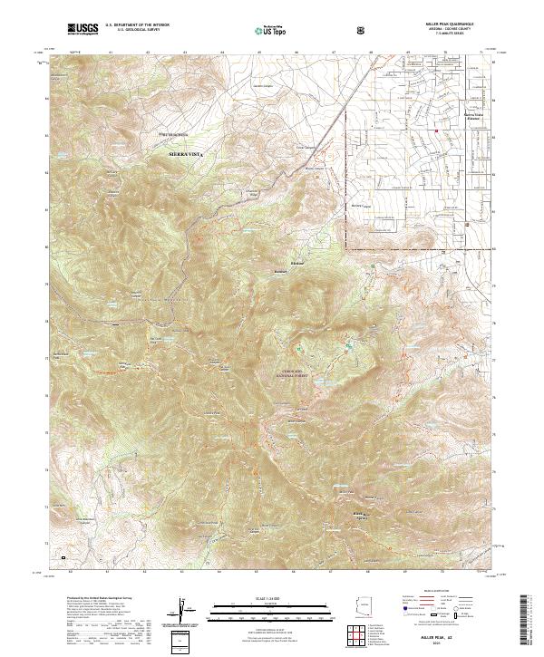 2021 Miller Peak2021 Print · USGSCovers Bledsoe, including Sierra Vista, Ramsey, and other nearby areas
End of results
Showing maps 1-13 of 13
Top cities near Bledsoe
Frequently asked questions
- What are the different types of historical maps available for Bledsoe?
- What is the oldest map of Bledsoe?
- Where can I purchase historical maps of Bledsoe for my home or office?
- Where can I download high-res historical maps of Bledsoe?
- Are there historical topographic maps available for Bledsoe?
- Is there historical aerial imagery available for Bledsoe?
- Where are historical maps of Bledsoe sourced from?