Old Maps of Rancho Del Escondido, Arizona for Academic Research
Study the evolution of Rancho Del Escondido with 15 high-resolution historic maps. Whether you're teaching, researching, or modeling changes in land use, these maps provide essential visual documentation of urban, environmental, and geographic change.
- Analyze long-term change: Track patterns in development, transportation, and natural features.
- Ideal for environmental or urban studies: Support academic projects with primary historical map data.
- Use in the classroom or lab: Educators and researchers rely on these maps to bring historical context to life.
These maps are a powerful tool for teaching, research, and visualizing how Rancho Del Escondido has changed over the decades.
Rancho Del Escondido, AZ maps
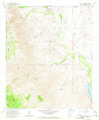
(15)- 1907 Map of Roosevelt, 1956 Print
 1907 Roosevelt1956 Print · USGSCentral Arizona at the birth of the reclamation era centers on the engineering of the Roosevelt Dam and the waters of the Salt River. Genealogists and historians can trace numerous early family holdings like Clanton's Ranch, the stage stop at Schells Station, and the remote settlement of Apacheria.2 unique versions available
 - 1909 Map of Four Peaks
 1909 Four Peaks1909 Print · USGSThe central Arizona wilderness at the start of the century reveals a land of isolated ranching outposts and rugged mountain passes. Researchers can trace the early cattle frontier at Sunflower Ranch, find the original Mormon Flats, and locate the historic Schells Station.2 unique versions available
 - 1912 Map of Roosevelt
 1912 Roosevelt1912 Print · USGSCentral Arizona is captured here during the transformative years following the completion of the Roosevelt Dam. You can trace early ranching homesteads such as Clines Ranch and Howell's Ranch or locate the site of Schell's Station.4 unique versions available
 - 1954 Map of Mesa, 1968 Print
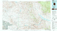
 1954 Mesa1968 Print · USGSCentral Arizona in the mid-fifties reveals the rapid growth of the Valley of the Sun alongside the deep-rooted mining districts of the eastern mountains. Genealogists and researchers can trace the expansion of Mesa and Chandler or locate legacy operations at Inspiration Mine and the Magma Arizona railroad.4 unique versions available
 - 1957 Map of Mesa
 1957 Mesa1957 Print · USGSCentral Arizona's desert valleys and high-mountain mining districts come alive in the mid-fifties. Researchers can trace the early layout of Mesa and Phoenix or locate remote sites like Inspiration Mine and Arizona State College.
 - 1958 Map of Mesa
 1958 Mesa1958 Print · USGSMid-century Arizona comes alive in this survey of the valley and high desert, where urban growth begins to transform the landscape. Genealogists and researchers can trace the rail-and-mine economy through Inspiration Mine and old stops like Rittenhouse and Magma.
 - 1960 Map of Mesa
 1960 Mesa1960 Print · USGSThe Salt River Valley and Superstition wilderness are captured here during a era of rapid post-war growth. Researchers can trace the mid-century footprints of Williams AF Base and Arizona State College or locate the deep-rock shafts of the Old Dominion Mine and Magma Mine.
 - 1964 Map of Mesa
 1964 Mesa1964 Print · USGSCentral Arizona in the mid-1960s reveals a landscape defined by rapid desert urbanization and a massive copper mining industry. Genealogists and historians can trace the growth of Phoenix or explore the mining camps and operations at Miami Mine and Magma Mine.
 - 1964 Map of Tonto Basin, 1965 Print
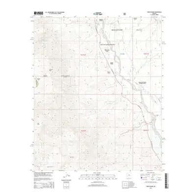
 1964 Tonto Basin1965 Print · USGSArizona's high desert cattle country and the northern reaches of Roosevelt Lake are captured in the mid-1960s. Researchers can trace historic ranching infrastructure and early human sites, from the Tonto Basin Post Office to numerous petroglyphs and corrals along Sycamore Creek.2 unique versions available
 - 1994 Map of Theodore Roosevelt Lake, 1995 Print
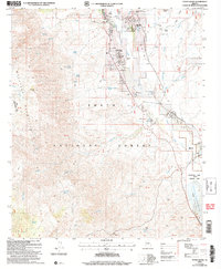
 1994 Theodore Roosevelt Lake1995 Print · USGSCentral Arizona in the early nineties reveals the sprawling growth of the Valley of the Sun against the high desert wilderness. Researchers can trace the development of Scottsdale and Carefree or locate remote outposts like Sunflower and Punkin Center near the Mazatzal Wilderness.3 unique versions available
 - 2004 Map of Tonto Basin, 2007 Print
 2004 Tonto Basin2007 Print · USGSTonto Basin and the slopes of the Mazatzal Mountains are captured in this early 21st-century survey of Gila County. Genealogists and historians can trace local life around Punkin Center and residential clusters near the waters of Theodore Roosevelt Lake.
 - 2011 Map of Tonto Basin, 2011 Print
 2011 Tonto Basin2011 Print · USGSCovers Rancho Del Escondido, including Punkin Center, Riverside Acres, and other nearby areas
 - 2014 Map of Tonto Basin, 2014 Print
 2014 Tonto Basin2014 Print · USGSCovers Rancho Del Escondido, including Punkin Center, Riverside Acres, and other nearby areas
 - 2018 Map of Tonto Basin, 2018 Print
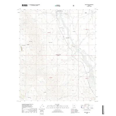 2018 Tonto Basin2018 Print · USGSCovers Rancho Del Escondido, including Punkin Center, Riverside Acres, and other nearby areas
 - 2021 Map of Tonto Basin, 2021 Print
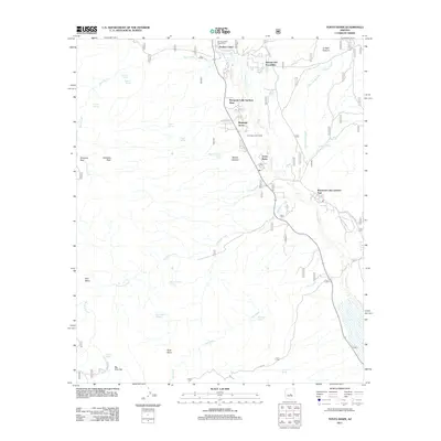
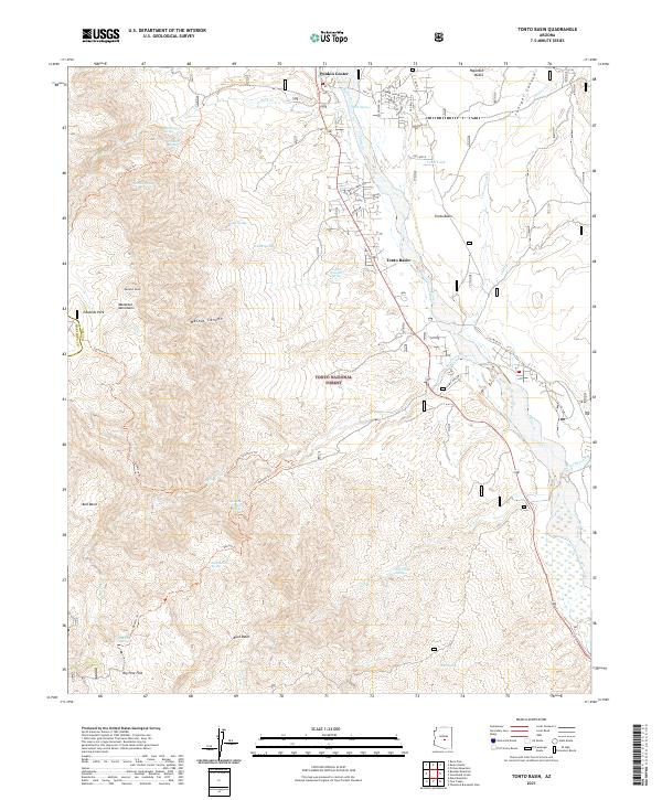 2021 Tonto Basin2021 Print · USGSGila County's high desert landscape comes into focus in the early 2020s as Tonto Creek winds past the settlements of Punkin Center and Tonto Basin. Map collectors and hikers can trace the Tonto Creek Trail and find remote sites like Big Pine Flat or Bull Basin.
End of results
Showing maps 1-15 of 15
Frequently asked questions
- What are the different types of historical maps available for Rancho Del Escondido?
- What is the oldest map of Rancho Del Escondido?
- Where can I purchase historical maps of Rancho Del Escondido for my home or office?
- Where can I download high-res historical maps of Rancho Del Escondido?
- Are there historical topographic maps available for Rancho Del Escondido?
- Is there historical aerial imagery available for Rancho Del Escondido?
- Where are historical maps of Rancho Del Escondido sourced from?