Old Maps of Rye, Arizona for Metal Detecting
Plan your next treasure hunt with 15 historic maps of Rye. Find old homesites, ghost towns, trails, and gathering spots that may be lost to time — perfect for identifying promising metal detecting locations.
- Locate forgotten sites: Uncover places like long-lost settlements, abandoned rail lines, or gathering spots.
- Plan better hunts: Use map overlays combined with LiDAR or satellite views to narrow in on historically rich areas.
- Made for detectorists: Thousands of hobbyists use these maps to discover relics, coins, and hidden history.
Use these historic maps to boost your research and find new opportunities beneath the surface of Rye.
Rye, AZ maps
(15)- 1887 Map of Verde
 1887 Verde1887 Print · USGSCentral Arizona at the height of the territorial era is defined by the military presence at Fort Verde and the ranching settlements below the Mogollon Mesa. Genealogists and researchers can trace the early foundations of Payson, Pine, and Strawberry or locate landmarks like Montezuma Well and Natural Bridge.
 - 1892 Map of Verde
 1892 Verde1892 Print · USGSArizona's territorial frontier is captured in the late nineteenth century as the first ranching and military outposts emerged. Trace the earliest layouts of Payson, Fort Verde, and Strawberry alongside landmarks like Montezuma Well and Natural Bridge.5 unique versions available
 - 1936 Map of Payson
 1936 Payson1936 Print · USGSThe high-desert ranches and rugged mining claims of Gila County are captured here in the mid-1930s. Genealogists and historians can locate early family homesteads like the Seventy-Six Ranch and remote school sites such as Gisela Sch.3 unique versions available
 - 1942 Map of Payson
 1942 Payson1942 Print · USGSThe Mazatzal Mountains and Tonto Creek watershed come alive in the mid-1930s, showing a landscape of mining claims and remote ranching. Trace old family names at the Bar T Bar Ranch, find historic Indian Ruins, or locate the Gisela Sch.2 unique versions available
 - 1954 Map of Holbrook, 1966 Print
 1954 Holbrook1966 Print · USGSNorth-central Arizona is seen here during the mid-fifties, from the high plateau of the Mogollon Rim to the Verde Valley. Researchers can trace the early growth of Holbrook, locate remote camps like Happy Jack, and explore the roads around Montezuma Castle National Monument.3 unique versions available
 - 1957 Map of Holbrook
 1957 Holbrook1957 Print · USGSNorthern Arizona in the mid-fifties is defined by the high-plateau timberlands and the bustling rail corridor of the Little Colorado River valley. Genealogists and historians can trace the route of U.S. 66 through Holbrook or locate more remote outposts like Zeniff and Aripine.
 - 1958 Map of Holbrook
 1958 Holbrook1958 Print · USGSNortheastern Arizona's high country is captured here during the mid-fifties, showing the growth of mountain towns and timber lands. Researchers can trace the Atchison Topeka & Santa Fe RR through Holbrook or find vanished spots like Zeniff.
 - 1960 Map of Holbrook
 1960 Holbrook1960 Print · USGSNorthern Arizona is captured here just as modern highways began to reshape the cattle and timber country of the Colorado Plateau. Genealogists and historians can trace the early footprints of Snowflake, Sedona, and Payson, alongside the Atchison Topeka & Santa Fe RR rail line.
 - 1972 Map of Gisela, 1974 Print
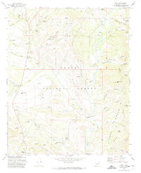 1972 Gisela1974 Print · USGSGisela and the surrounding Tonto National Forest are captured here in the early seventies, a landscape defined by cattle ranching and canyon terrain. Trace the locations of legacy holdings like Seventy Six Ranch or the Pittsburg Tonto Mine, and locate remote sites such as the Cocomunga Curry Basin.3 unique versions available
 - 1981 Map of Payson
 1981 Payson1981 Print · USGSCentral Arizona's mountain country comes into focus in the early eighties, centered on the growing town of Payson. Trace the mining history at Gowan Mine, find old forest outposts like Kohls Ranch, and see the rugged Mogollon Rim terrain.2 unique versions available
 - 2004 Map of Gisela, 2006 Print
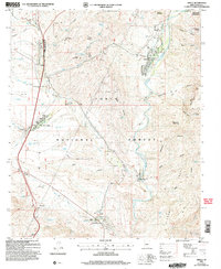 2004 Gisela2006 Print · USGSThe Tonto Basin ranching landscape is captured here in the early 2000s, showing the intersection of forest management and creek-side settlement. Genealogists and historians can trace family locations at Seventy Six Ranch, Gisela, and the Cem near Haycox Mountain.
 - 2011 Map of Gisela, 2011 Print
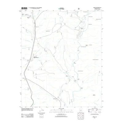 2011 Gisela2011 Print · USGSGila County ranching and rugged canyonlands meet in the early twenty-first century as the traditional cattle economy persists alongside newer residential clusters. Researchers can trace family ranching footprints at Seventy Six Ranch or explore the geography around Gisela and Jakescorner.
 - 2014 Map of Gisela, 2014 Print
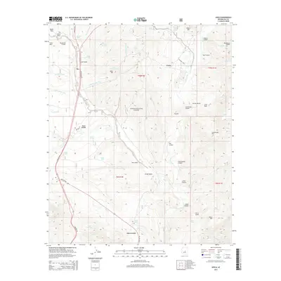 2014 Gisela2014 Print · USGSGila County's high-desert ranching and transit corridors are mapped here as they appeared in 2014. Trace the development of Gisela, Rye, and Jakes Corner, or locate remote landmarks like Sierra Ancha and Lower Barnhardt Tank.
 - 2018 Map of Gisela, 2018 Print
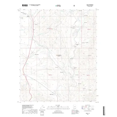 2018 Gisela2018 Print · USGSGila County's rugged basin country is captured here in the late 2010s as it transitions between riparian corridors and high desert mesas. Researchers can trace the layout of Gisela and Jakes Corner or locate remote landmarks like Table Top Tank and The Box.
 - 2021 Map of Gisela, 2021 Print
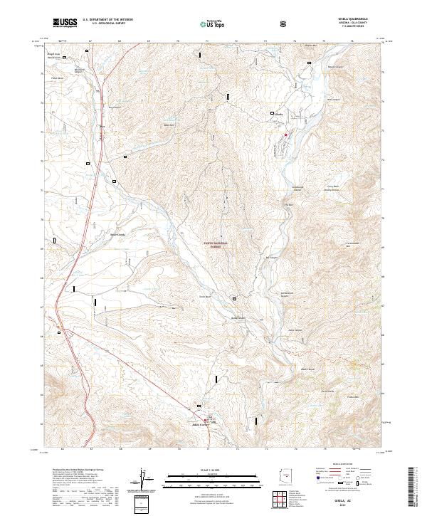 2021 Gisela2021 Print · USGSGila County in the early twenty-first century reveals a rugged landscape of creek-side settlements and national forest lands. Researchers can trace local routes through Gisela and Rye, or locate remote landmarks like The Box and the Deer Creek Trail.
End of results
Showing maps 1-15 of 15
Top cities near Rye
Frequently asked questions
- What are the different types of historical maps available for Rye?
- What is the oldest map of Rye?
- Where can I purchase historical maps of Rye for my home or office?
- Where can I download high-res historical maps of Rye?
- Are there historical topographic maps available for Rye?
- Is there historical aerial imagery available for Rye?
- Where are historical maps of Rye sourced from?