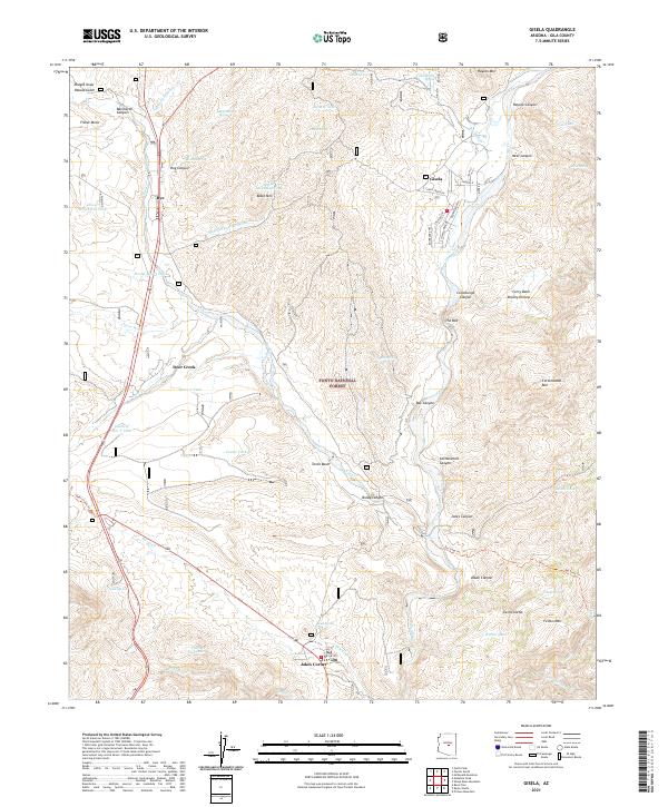
2021 Map of Gisela
USGS Topo · Published 2021About this map
Tonto Creek carves a central path through this portion of the Tonto National Forest, where the high desert meets the rising slopes of the Sierra Ancha. The settlement of Gisela serves as a focal point along the creek, characterized by a grid of local roads like Elm St and Sycamore Ln. Further west, the community of Rye sits near the intersection of several drainages, including Boone Moore Wash and Clover Wash.
Find a feature on this map
76 named features on this map. Tap any name to fly to it.
Don’t see what you’re looking for? This feature index may not catch every label — zoom into the map to look around manually.
Map Details
Editions of this 2021 Gisela Map
This is the sole edition of this map. No revisions or reprints were ever made.
Other maps of this area

1887 · Verde
USGS Topo · 1:250,000

1892 · Verde
USGS Topo · 1:250,000

1907 · Roosevelt
USGS Topo · 1:125,000

1909 · Four Peaks
USGS Topo · 1:125,000

1912 · Roosevelt
USGS Topo · 1:125,000

1936 · Payson
USGS Topo · 1:48,000

1937 · Diamond Butte
USGS Topo · 1:48,000

1942 · Payson
USGS Topo · 1:62,500

1943 · Diamond Butte
USGS Topo · 1:62,500

1954 · Holbrook
USGS Topo · 1:250,000