2000s (21st Century) Maps of Schultze Ranch, Arizona
Explore 5 historic maps of Schultze Ranch from the 2000s (21st Century). These maps offer a rare glimpse into what life looked like during the 2000s — showing old roads, neighborhoods, homes, and landmarks that have changed or disappeared over time.
Whether you're researching your family's past, planning a metal detecting trip, or studying how Schultze Ranch's landscape evolved across the 2000s, these high-resolution maps are a powerful tool for exploring the history of this region.
- Focus on a specific era: All maps on this page are from the 2000s, giving you a focused view of this time period.
- See what’s changed: Compare century-old streets, trails, and buildings to today's modern landscape using overlays and satellite layers.
- Research with precision: Use these maps for genealogy, historical research, land use analysis, or educational projects.
- View, download, or print: Maps are fully viewable online in high resolution, and can be downloaded or printed for your own records.
Start exploring Schultze Ranch's history through authentic maps from the 2000s. This is your window into the past.
Schultze Ranch, AZ maps
(5)- 2004 Map of Pinal Ranch, 2007 Print
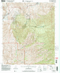 2004 Pinal Ranch2007 Print · USGSGila and Pinal counties meet in this rugged section of the Southwest during the early 2000s, where mining and ranching legacies endure. Genealogists and historians can trace family land at Clark Ranch or explore the industrial footprint of the Gibson Mine Prospects.
 - 2011 Map of Pinal Ranch, 2011 Print
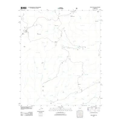 2011 Pinal Ranch2011 Print · USGSCovers Schultze Ranch, including Top-of-the-World, Bellevue, and other nearby areas
 - 2014 Map of Pinal Ranch, 2014 Print
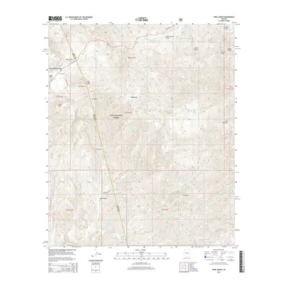 2014 Pinal Ranch2014 Print · USGSCovers Schultze Ranch, including Top-of-the-World, Bellevue, and other nearby areas
 - 2018 Map of Pinal Ranch, 2018 Print
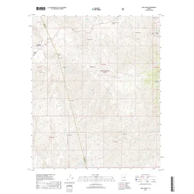 2018 Pinal Ranch2018 Print · USGSCovers Schultze Ranch, including Top-of-the-World, Bellevue, and other nearby areas
 - 2021 Map of Pinal Ranch, 2021 Print
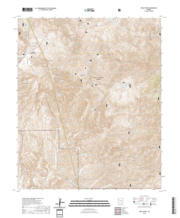 2021 Pinal Ranch2021 Print · USGSThe high mountain passes of Gila and Pinal Counties are documented here in the early twenty-first century as they border the Tonto National Forest. Researchers can trace the legacy of mining and water rights through features like Savage Tunnel Spring, Pinal Ranch, and the community of Top-of-the-World.
End of results
Showing maps 1-5 of 5
Top cities near Schultze Ranch
Frequently asked questions
- What are the different types of historical maps available for Schultze Ranch?
- What is the oldest map of Schultze Ranch?
- Where can I purchase historical maps of Schultze Ranch for my home or office?
- Where can I download high-res historical maps of Schultze Ranch?
- Are there historical topographic maps available for Schultze Ranch?
- Is there historical aerial imagery available for Schultze Ranch?
- Where are historical maps of Schultze Ranch sourced from?