Old Maps of Willow, Arizona for Academic Research
Study the evolution of Willow with 15 high-resolution historic maps. Whether you're teaching, researching, or modeling changes in land use, these maps provide essential visual documentation of urban, environmental, and geographic change.
- Analyze long-term change: Track patterns in development, transportation, and natural features.
- Ideal for environmental or urban studies: Support academic projects with primary historical map data.
- Use in the classroom or lab: Educators and researchers rely on these maps to bring historical context to life.
These maps are a powerful tool for teaching, research, and visualizing how Willow has changed over the decades.
Willow, AZ maps
(15)- 1922 Map of Chrysotile
 1922 Chrysotile1922 Print · USGSGila County's mining and ranching frontier is documented in the early twenties during a period of rapid reconnaissance mapping. Researchers can locate early outposts and water sources such as McMillanville, Chrysotile, and Ash Spring near the Fort Apache Reservation boundary.
 - 1949 Map of Rockinstraw Mtn, 1957 Print
 1949 Rockinstraw Mtn1957 Print · USGSThe Gila County high country is mapped here just after the war, showing the deep canyons and peaks of the Tonto National Forest. Researchers can locate remote outposts like the A-Cross Ranger Sta or trace the early boundaries of the Sierra Ancha Experimental Forest.2 unique versions available
 - 1950 Map of Rockinstraw Mtn
 1950 Rockinstraw Mtn1950 Print · USGSGila County's high desert and river canyons are captured here in the mid-century, featuring the dramatic shoreline of the Roosevelt Reservoir. Genealogists and historians can trace old forest outposts like A-Cross Ranger Sta and mining sites near Richmond Basin.2 unique versions available
 - 1954 Map of Mesa, 1968 Print
 1954 Mesa1968 Print · USGSCentral Arizona in the mid-fifties reveals the rapid growth of the Valley of the Sun alongside the deep-rooted mining districts of the eastern mountains. Genealogists and researchers can trace the expansion of Mesa and Chandler or locate legacy operations at Inspiration Mine and the Magma Arizona railroad.4 unique versions available
 - 1957 Map of Mesa
 1957 Mesa1957 Print · USGSCentral Arizona's desert valleys and high-mountain mining districts come alive in the mid-fifties. Researchers can trace the early layout of Mesa and Phoenix or locate remote sites like Inspiration Mine and Arizona State College.
 - 1958 Map of Mesa
 1958 Mesa1958 Print · USGSMid-century Arizona comes alive in this survey of the valley and high desert, where urban growth begins to transform the landscape. Genealogists and researchers can trace the rail-and-mine economy through Inspiration Mine and old stops like Rittenhouse and Magma.
 - 1960 Map of Mesa
 1960 Mesa1960 Print · USGSThe Salt River Valley and Superstition wilderness are captured here during a era of rapid post-war growth. Researchers can trace the mid-century footprints of Williams AF Base and Arizona State College or locate the deep-rock shafts of the Old Dominion Mine and Magma Mine.
 - 1964 Map of Mesa
 1964 Mesa1964 Print · USGSCentral Arizona in the mid-1960s reveals a landscape defined by rapid desert urbanization and a massive copper mining industry. Genealogists and historians can trace the growth of Phoenix or explore the mining camps and operations at Miami Mine and Magma Mine.
 - 1986 Map of Meddler Wash
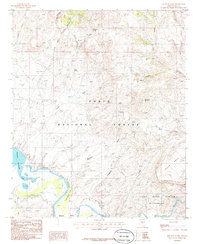 1986 Meddler Wash1986 Print · USGSGila County in the mid-eighties shows a rugged landscape defined by the Salt River and its transition into Theodore Roosevelt Lake. Researchers can trace remote settlements like A-Cross, explore the ridges of Black Mesa, and locate desert water sources like Tin Shack Spring.
 - 1992 Map of Seneca, 1993 Print
 1992 Seneca1993 Print · USGSGila County in the early nineties remains a wild landscape of tribal reservations and national forest. Researchers can trace historic mining at the Old Owen McMillenville Mine, locate the remote settlement of Cibecue, and map the rugged drainages of the Salt River.2 unique versions available
 - 2004 Map of Meddler Wash, 2007 Print
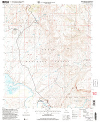 2004 Meddler Wash2007 Print · USGSGila County's desert landscape was undergoing modern management during the early 2000s as the Salt River fed the reservoir. Researchers can trace the ranching footprint and early infrastructure at the Bar Eleven Ranch, Jackson Well, and the Diversion Dam.
 - 2011 Map of Meddler Wash, 2011 Print
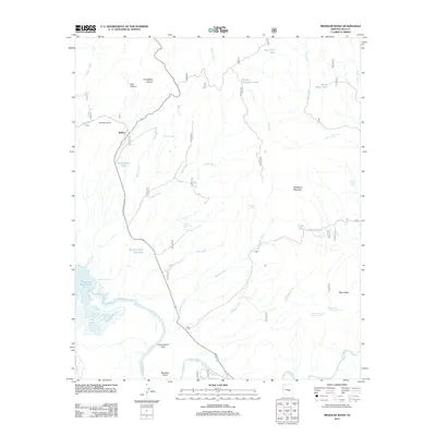 2011 Meddler Wash2011 Print · USGSGila County ranch lands and river valleys are captured here in the early twenty-first century as they meet the waters of the Salt River. Researchers can trace the boundaries of the Bar Eleven Ranch, locate the settlement of Willow, and follow the drainages of Meddler Wash to the edge of Theodore Roosevelt Lake.
 - 2014 Map of Meddler Wash, 2014 Print
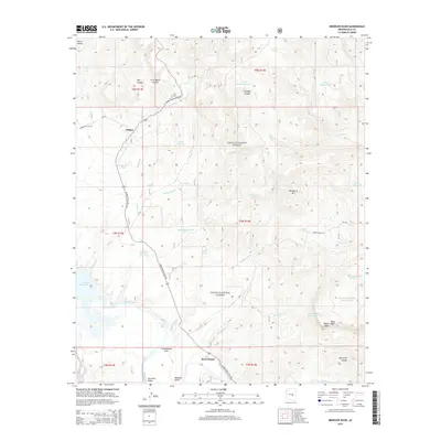 2014 Meddler Wash2014 Print · USGSGila County's desert and forest landscapes are captured here during the early twenty-first century as the Salt River flows toward the Roosevelt Lake basin. Researchers can trace the development of Willow and Cottonwood Acre or locate landmarks like Rock House and Tin Shack Spring.
 - 2018 Map of Meddler Wash, 2018 Print
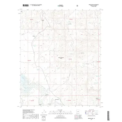 2018 Meddler Wash2018 Print · USGSGila County ranching and river life are captured here in the late twenty-teens as the landscape transitions from the Sierra Ancha to the Salt River. Researchers can trace rural settlements at Rock House and Cottonwood Acre or explore the rugged backcountry around Hackberry Mtn.
 - 2021 Map of Meddler Wash, 2021 Print
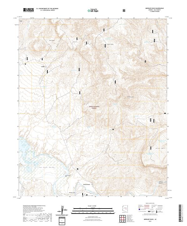 2021 Meddler Wash2021 Print · USGSGila County's canyon country comes to life in the early 2020s, centered on the upper reaches of the Salt River Valley. Researchers can locate seasonal settlements like Willow or trace the drainages of Coon Cr and Parker Cr as they feed into the Theodore Roosevelt Lake shoreline.
End of results
Showing maps 1-15 of 15
Frequently asked questions
- What are the different types of historical maps available for Willow?
- What is the oldest map of Willow?
- Where can I purchase historical maps of Willow for my home or office?
- Where can I download high-res historical maps of Willow?
- Are there historical topographic maps available for Willow?
- Is there historical aerial imagery available for Willow?
- Where are historical maps of Willow sourced from?