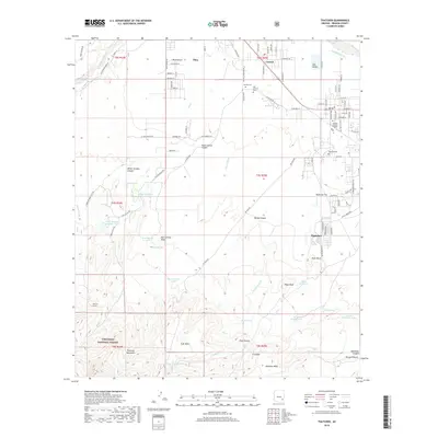
Old Maps of Thatcher, Arizona for Metal Detecting
Plan your next treasure hunt with 18 historic maps of Thatcher. Find old homesites, ghost towns, trails, and gathering spots that may be lost to time — perfect for identifying promising metal detecting locations.
- Locate forgotten sites: Uncover places like long-lost settlements, abandoned rail lines, or gathering spots.
- Plan better hunts: Use map overlays combined with LiDAR or satellite views to narrow in on historically rich areas.
- Made for detectorists: Thousands of hobbyists use these maps to discover relics, coins, and hidden history.
Use these historic maps to boost your research and find new opportunities beneath the surface of Thatcher.
Thatcher, AZ maps
(18)- 1954 Map of Silver City, 1967 Print
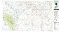
 1954 Silver City1967 Print · USGSSoutheast Arizona and southwest New Mexico meet in this mid-century survey of the high desert and mountain mining districts. Local researchers can trace the rail lines through Lordsburg, the silver operations at Ash Peak Mines, and the limits of Fort Bayard Military Reservation.4 unique versions available
 - 1958 Map of Silver City
 1958 Silver City1958 Print · USGSSouthwestern New Mexico and eastern Arizona appear here in the mid-1950s, a period of intensive mining and rail activity. Trace the routes of the Southern Pacific RR through Lordsburg or locate historic operations at the Chino Mine and Santa Rita.
 - 1960 Map of Thatcher
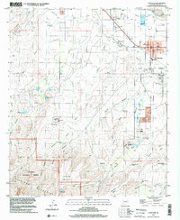
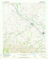 1960 Thatcher1960 Print · USGSThe Gila River valley is a dense corridor of Arizona agricultural history in the early sixties, anchored by the Southern Pacific railroad. Genealogists and historians can trace local families through the many burial grounds, including Glenbar Cem and Hubbard Cem, or locate landmarks like the Eastern Arizona Jr College.2 unique versions available
 - 1960 Map of Safford, 1961 Print
 1960 Safford1961 Print · USGSThe Gila River valley is captured here during a period of steady growth in the early sixties, showing the vital irrigation network that sustained the local economy. Researchers can trace the path of the Southern Pacific railroad and locate landmarks like the Solomonsville Cemetery and Lafe Nelson School.3 unique versions available
 - 1962 Map of Silver City
 1962 Silver City1962 Print · USGSThe high desert borderlands of New Mexico and Arizona come alive in this early sixties survey. Genealogists and historians can trace the mining economy through the Chino Mine, follow the rail routes of the Southern Pacific, or locate settlements like Virden and Bayard.
 - 1985 Map of Thatcher
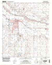
 1985 Thatcher1985 Print · USGSThatcher and Central thrive in the mid-1980s Gila Valley, where an intricate irrigation network sustained local agriculture. Researchers can trace the development of Eastern Arizona Jr College, historic cemetery locations like Cem, and rural landmarks from Riggs Mesa Reservoir to Gila River Canal.2 unique versions available
 - 1985 Map of Safford, 1986 Print
 1985 Safford1986 Print · USGSThe Gila Valley in the mid-eighties was a thriving agricultural corridor defined by an intricate network of irrigation and rail. Researchers can trace the path of the Southern Pacific and explore early water systems like the Montezuma Canal and Roper Lake State Park.2 unique versions available
 - 1994 Map of Safford
 1994 Safford1994 Print · USGSSoutheastern Arizona and the New Mexico borderlands come into focus in the mid-1990s, highlighting the irrigation-fed life of the Gila Valley. Genealogists and researchers can trace local landmarks like Eastern Arizona College, the Southern Pacific RR, and settlements from Artesia to Virden.2 unique versions available
 - 1997 Map of Thatcher, 2002 Print
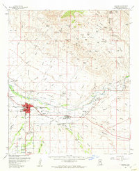
 1997 Thatcher2002 Print · USGSThe Gila River valley in the late 1990s shows a landscape balancing desert agriculture and mountain wilderness. Genealogists and historians can trace the growth of Thatcher, explore the Eastern Arizona Jr College campus, or locate family plots near Central at the local Cem.
 - 1998 Map of Safford, 2002 Print
 1998 Safford2002 Print · USGSSafford and Thatcher thrived along the Gila River in the late nineties, anchored by a massive network of desert irrigation. Local historians can trace the exact paths of the Union Canal and Highline Canal or locate landmarks like the Fairground and Solomon.
 - 2011 Map of Thatcher, 2011 Print
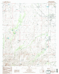
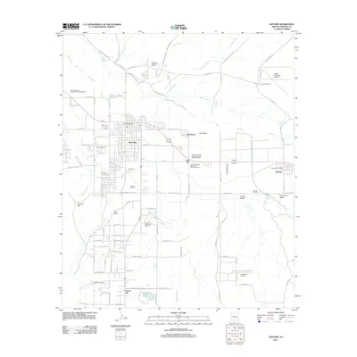
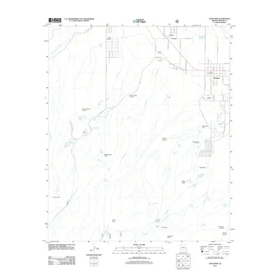 2011 Thatcher2011 Print · USGSCovers Thatcher, including Pima, Central, and other nearby areas
 - 2011 Map of Safford, 2011 Print
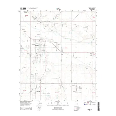
 2011 Safford2011 Print · USGSCovers Thatcher, including Safford, Cactus Flat, and other nearby areas
 - 2014 Map of Thatcher, 2014 Print
 2014 Thatcher2014 Print · USGSCovers Thatcher, including Pima, Central, and other nearby areas
 - 2014 Map of Safford, 2014 Print
 2014 Safford2014 Print · USGSCovers Thatcher, including Safford, Cactus Flat, and other nearby areas
 - 2018 Map of Safford, 2018 Print
 2018 Safford2018 Print · USGSCovers Thatcher, including Safford, Cactus Flat, and other nearby areas
 - 2018 Map of Thatcher, 2018 Print
 2018 Thatcher2018 Print · USGSCovers Thatcher, including Pima, Central, and other nearby areas
 - 2021 Map of Thatcher, 2021 Print
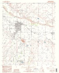
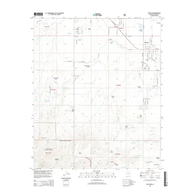
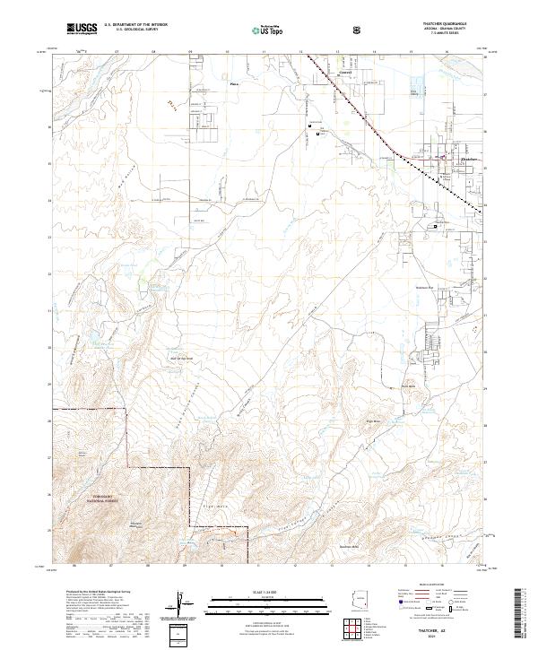 2021 Thatcher2021 Print · USGSThe Gila Valley comes into focus in this contemporary survey, capturing the agricultural heart of Graham County and the edge of the mountains. Researchers can trace the heritage of Thatcher and Central through local landmarks like Eastern Arizona College and the Old Central Cem.
 - 2021 Map of Safford, 2021 Print
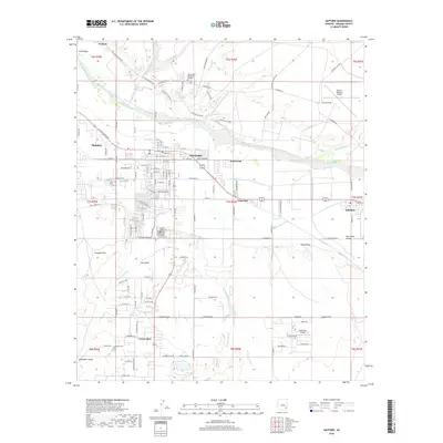
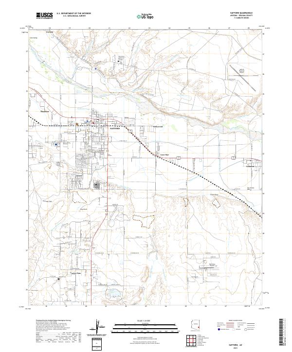 2021 Safford2021 Print · USGSThe agricultural and civic heart of the Gila Valley comes to life in this detailed survey of Safford and its surroundings. Researchers can trace the essential irrigation networks of the Montezuma Canal, locate the Graham County Courthouse, and find family sites at Safford Union Cemetery or Roper Lake.
End of results
Showing maps 1-18 of 18
Top cities near Thatcher
- Safford historical maps
- Pima historical maps
- Swift Trail Junction historical maps
- Cactus Flat historical maps
- Central historical maps
- Solomon historical maps
See more
Frequently asked questions
- What are the different types of historical maps available for Thatcher?
- What is the oldest map of Thatcher?
- Where can I purchase historical maps of Thatcher for my home or office?
- Where can I download high-res historical maps of Thatcher?
- Are there historical topographic maps available for Thatcher?
- Is there historical aerial imagery available for Thatcher?
- Where are historical maps of Thatcher sourced from?