Old Maps of Utting, Arizona for Metal Detecting
Plan your next treasure hunt with 14 historic maps of Utting. Find old homesites, ghost towns, trails, and gathering spots that may be lost to time — perfect for identifying promising metal detecting locations.
- Locate forgotten sites: Uncover places like long-lost settlements, abandoned rail lines, or gathering spots.
- Plan better hunts: Use map overlays combined with LiDAR or satellite views to narrow in on historically rich areas.
- Made for detectorists: Thousands of hobbyists use these maps to discover relics, coins, and hidden history.
Use these historic maps to boost your research and find new opportunities beneath the surface of Utting.
Utting, AZ maps
(14)- 1942 Map of Vicksburg
 1942 Vicksburg1942 Print · USGSWestern Arizona's desert landscape during the early war years is defined here by isolated rail stops and vital water points. Researchers can trace the Atchison Topeka and Santa Fe line through Salome and Vicksburg or locate remote sites like Reids Ranch and the Kofa Mine.
 - 1954 Map of Phoenix, 1964 Print
 1954 Phoenix1964 Print · USGSMid-century Arizona is captured here as the Phoenix metropolitan area begins its rapid expansion into the surrounding desert. Genealogists and historians can trace the development of agricultural hubs like Buckeye and Tolleson, or locate remote landmarks like the Vulture Mine and Nottbusch Cem.5 unique versions available
 - 1957 Map of Phoenix
 1957 Phoenix1957 Print · USGSGreater Phoenix and the central Arizona desert during the mid-fifties reveal a landscape of growing suburbs and active desert mines. Researchers can trace the legacy of local landmarks like Wickenburg Prison, the Vulture Mine, and the Tonopah Post Office.
 - 1958 Map of Phoenix
 1958 Phoenix1958 Print · USGSThe Phoenix Valley enters a period of postwar expansion, where desert irrigation meets massive military aviation footprints. Trace the development of Phoenix and Glendale alongside the legendary Vulture Mine and the auxiliary runways of Luke Air Force Base.
 - 1960 Map of Phoenix
 1960 Phoenix1960 Print · USGSCentral Arizona in the mid-fifties reveals a landscape of rapid suburban growth alongside enduring desert mining and ranching. Genealogists and historians can trace rail-side settlements like Vicksburg Junction and Waddell, or locate the Vulture Mine and early sites like Agua Fria School.
 - 1962 Map of Utting, 1963 Print
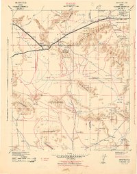
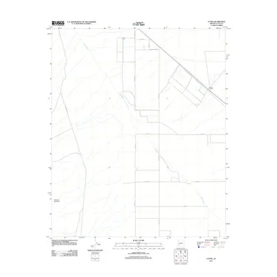
 1962 Utting1963 Print · USGSArizona's western desert comes into focus during the early sixties, centered on the vital rail link through the Ran Egras Plain. Genealogists and historians can trace isolated desert outposts like Utting, McVay, and mining operations such as the Barber Gene Mine.2 unique versions available
 - 1969 Map of Phoenix, 1970 Print
 1969 Phoenix1970 Print · USGSCentral Arizona is seen at a technological turning point in the late sixties, using Apollo 9 space photography to map the desert landscape. Researchers can trace the growth of Sun City, locate old workings at Vulture Mine, and follow the Gila River past Buckeye.2 unique versions available
 - 1971 Map of Phoenix
 1971 Phoenix1971 Print · USGSCentral Arizona at the start of the seventies shows a desert metropolis expanding toward the Sun Valley retirement boom. Trace the growth of Sun City and Glendale, or locate remote historic sites like the Vulture Gold Mine and Nottbusch Cemetery.
 - 1984 Map of Salome
 1984 Salome1984 Print · USGSWestern Arizona's desert valleys and mining districts are surveyed here during the mid-eighties, centered on the railroad corridor through the McMullen Valley. Researchers can trace the rail towns of Salome and Wenden or locate historical mineral sites like the Bonanza Mine and Hercules Mine.
 - 1990 Map of Utting
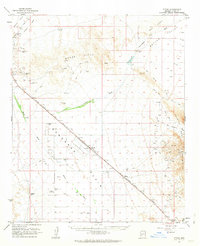
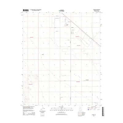
 1990 Utting1990 Print · USGSThe Ranegras Plain in the early 1990s shows a desert landscape of remote wells and water management systems. Genealogists and historians can trace isolated landmarks like Haynes Farm, the settlement of Utting, and a lonely + Grave near the mountains.
 - 2011 Map of Utting, 2011 Print
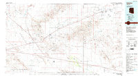
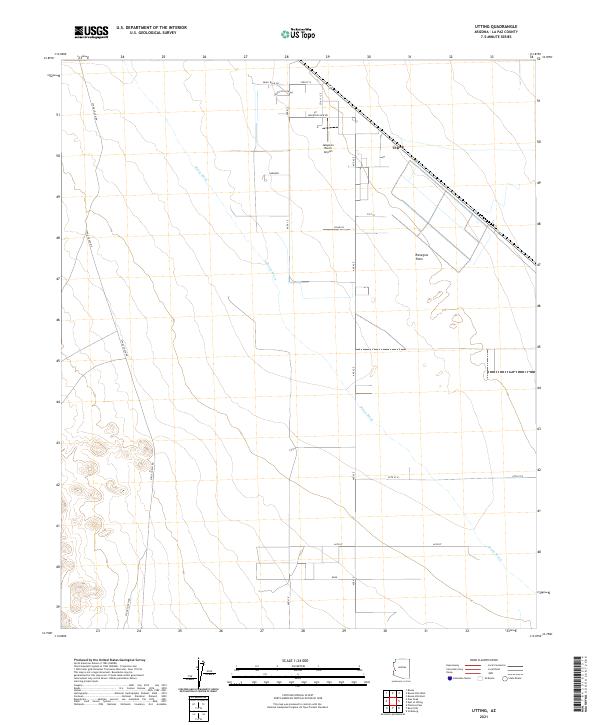
 2011 Utting2011 Print · USGSCovers Utting, including Bouse, La Paz County, and other nearby areas
 - 2014 Map of Utting, 2014 Print
 2014 Utting2014 Print · USGSCovers Utting, including Bouse, La Paz County, and other nearby areas
 - 2018 Map of Utting, 2018 Print
 2018 Utting2018 Print · USGSCovers Utting, including Bouse, La Paz County, and other nearby areas
 - 2021 Map of Utting, 2021 Print
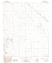
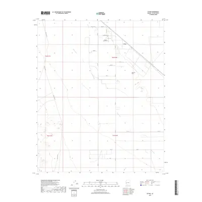
 2021 Utting2021 Print · USGSThe desert lowlands of the Ranegras Plain come into focus in this contemporary survey of western Arizona. Researchers can trace rural development around Utting, the Jalapeno Ranch Airport, and local landmarks like Gardner.
End of results
Showing maps 1-14 of 14
Top cities near Utting
Frequently asked questions
- What are the different types of historical maps available for Utting?
- What is the oldest map of Utting?
- Where can I purchase historical maps of Utting for my home or office?
- Where can I download high-res historical maps of Utting?
- Are there historical topographic maps available for Utting?
- Is there historical aerial imagery available for Utting?
- Where are historical maps of Utting sourced from?