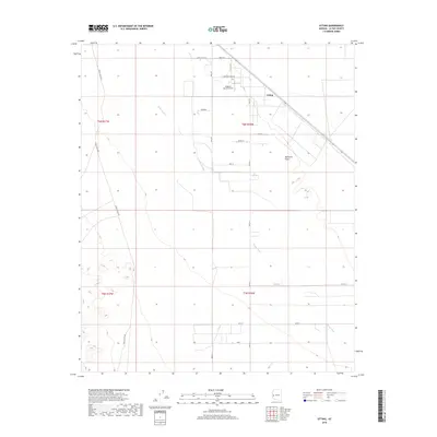
2018 Map of Utting
USGS Topo · Published 2018About this map
Utting and the surrounding Ranegras Plain characterize this high-desert landscape in La Paz County. The settlement pattern here is sparse, defined by private ranching interests and isolated airstrips like the Jalapeno Ranch Airport. Ephemeral drainage systems, most notably the Bouse Wash, cut northwest across the terrain, indicating the seasonal flow of water through this arid basin.
Find a feature on this map
22 named features on this map. Tap any name to fly to it.
Don’t see what you’re looking for? This feature index may not catch every label — zoom into the map to look around manually.
Map Details
Editions of this 2018 Utting Map
This is the sole edition of this map. No revisions or reprints were ever made.
Other maps of this area

1930 · Linskey
USGS Topo · 1:62,500

1942 · Blythe
USGS Topo · 1:250,000

1942 · Vicksburg
USGS Topo · 1:250,000

1954 · Salton Sea
USGS Topo · 1:250,000

1954 · Phoenix
USGS Topo · 1:250,000

1955 · Salton Sea
USGS Topo · 1:250,000

1957 · Phoenix
USGS Topo · 1:250,000

1958 · Phoenix
USGS Topo · 1:250,000

1959 · Salton Sea
USGS Topo · 1:250,000

1960 · Phoenix
USGS Topo · 1:250,000