Old Maps of Peoria, Arizona for Academic Research
Study the evolution of Peoria with 62 high-resolution historic maps. Whether you're teaching, researching, or modeling changes in land use, these maps provide essential visual documentation of urban, environmental, and geographic change.
- Analyze long-term change: Track patterns in development, transportation, and natural features.
- Ideal for environmental or urban studies: Support academic projects with primary historical map data.
- Use in the classroom or lab: Educators and researchers rely on these maps to bring historical context to life.
These maps are a powerful tool for teaching, research, and visualizing how Peoria has changed over the decades.
Peoria, AZ maps
(62)- 1954 Map of Phoenix, 1964 Print
 1954 Phoenix1964 Print · USGSMid-century Arizona is captured here as the Phoenix metropolitan area begins its rapid expansion into the surrounding desert. Genealogists and historians can trace the development of agricultural hubs like Buckeye and Tolleson, or locate remote landmarks like the Vulture Mine and Nottbusch Cem.5 unique versions available
 - 1957 Map of Phoenix
 1957 Phoenix1957 Print · USGSGreater Phoenix and the central Arizona desert during the mid-fifties reveal a landscape of growing suburbs and active desert mines. Researchers can trace the legacy of local landmarks like Wickenburg Prison, the Vulture Mine, and the Tonopah Post Office.
 - 1957 Map of Calderwood Butte, 1958 Print
 1957 Calderwood Butte1958 Print · USGSThe northwest corner of the Salt River Valley appears in the late 1950s as desert ranching meets early suburban growth. Trace the origins of Surprise and Lizard Acres, or locate the Sunrise Relief Mine and various Indian ruins near Calderwood Butte.6 unique versions available
 - 1957 Map of El Mirage, 1958 Print
 1957 El Mirage1958 Print · USGSMaricopa County's West Valley comes into focus in the mid-fifties as agriculture and military aviation shape the desert landscape. Genealogists and historians can trace the early footprints of Surprise and El Mirage, or locate specific sites like the Heath Grave and the Dysart Sch.5 unique versions available
 - 1957 Map of Hedgpeth Hills, 1958 Print
 1957 Hedgpeth Hills1958 Print · USGSNorth of Glendale in the late fifties, this landscape shows the desert floor before total suburbanization. Genealogists and historians can trace the early irrigation and road networks around Sierra Vista School, the Arizona Canal, and Thunderbird Park.5 unique versions available
 - 1957 Map of Glendale, 1958 Print
 1957 Glendale1958 Print · USGSMaricopa County's citrus and cotton fields meet the growing suburbs of Glendale and Peoria during the late fifties. Trace early school sites like Union High Sch and industrial landmarks from the Agua Fria Steam Plant to the Cotton Gin.6 unique versions available
 - 1958 Map of Phoenix
 1958 Phoenix1958 Print · USGSThe Phoenix Valley enters a period of postwar expansion, where desert irrigation meets massive military aviation footprints. Trace the development of Phoenix and Glendale alongside the legendary Vulture Mine and the auxiliary runways of Luke Air Force Base.
 - 1960 Map of Phoenix
 1960 Phoenix1960 Print · USGSCentral Arizona in the mid-fifties reveals a landscape of rapid suburban growth alongside enduring desert mining and ranching. Genealogists and historians can trace rail-side settlements like Vicksburg Junction and Waddell, or locate the Vulture Mine and early sites like Agua Fria School.
 - 1964 Map of Garfias Mountain, 1965 Print
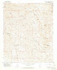 1964 Garfias Mountain1965 Print · USGSThe Arizona desert at the boundary of Yavapai and Maricopa counties is captured here in the mid-1960s. Researchers can trace the legacy of local mining at the St Anthony Mine and Morgan City Mine, or locate family landmarks like L Ranch and Ramon Tank.3 unique versions available
 - 1964 Map of New River, 1965 Print
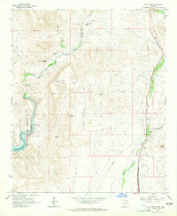 1964 New River1965 Print · USGSMaricopa County's northern desert landscape comes into focus during the mid-sixties as the community of New River begins to take shape. Genealogists and historians can trace early landmarks like New River Sch, the Little Grand Canyon Rancho, and scattered Ruins near the Agua Fria River.5 unique versions available
 - 1964 Map of Governors Peak, 1965 Print
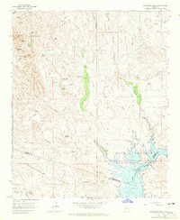 1964 Governors Peak1965 Print · USGSThe Arizona desert at the Yavapai and Maricopa county line reveals a landscape of remote ranches and ancient rock art in the mid-1960s. Genealogists and historians can trace routes to Castle Hot Springs, locate Petroglyphs, and explore the shoreline of Lake Pleasant.5 unique versions available
 - 1964 Map of Baldy Mtn, 1965 Print
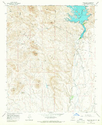 1964 Baldy Mtn1965 Print · USGSMaricopa County during the 1960s shows a landscape of desert mining and expanding water infrastructure along the Agua Fria River. Researchers can trace early recreational development at Lake Pleasant and locate industrial sites like the White Peak Mine and White Peak Quarry.4 unique versions available
 - 1965 Map of Biscuit Flat, 1966 Print
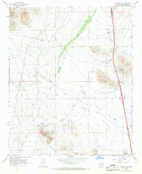 1965 Biscuit Flat1966 Print · USGSMaricopa County's arid northern reaches are shown here in the mid-sixties, a landscape of ranching tanks and desert washes. Trace the paths of New River and Skunk Creek past local landmarks like Black Mountain and the Black Canyon Shooting Range.3 unique versions available
 - 1965 Map of Hieroglyphic Mts. SW, 1967 Print
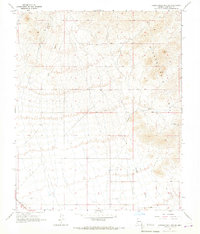 1965 Hieroglyphic Mts. SW1967 Print · USGSMaricopa County's arid northern reaches are captured in the mid-sixties, showing a landscape defined by the Hieroglyphic Mts. and seasonal drainage. Genealogists and desert historians can trace the infrastructure of English Camp, the isolated tracks of Nada, and a lonely Grave south of Padelford Wash.3 unique versions available
 - 1969 Map of Phoenix, 1970 Print
 1969 Phoenix1970 Print · USGSCentral Arizona is seen at a technological turning point in the late sixties, using Apollo 9 space photography to map the desert landscape. Researchers can trace the growth of Sun City, locate old workings at Vulture Mine, and follow the Gila River past Buckeye.2 unique versions available
 - 1971 Map of Phoenix
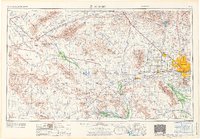 1971 Phoenix1971 Print · USGSCentral Arizona at the start of the seventies shows a desert metropolis expanding toward the Sun Valley retirement boom. Trace the growth of Sun City and Glendale, or locate remote historic sites like the Vulture Gold Mine and Nottbusch Cemetery.
 - 1971 Map of El Mirage
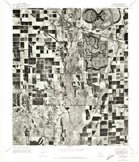 1971 El Mirage1971 Print · USGSMaricopa County underwent a dramatic transformation in the early seventies as planned retirement communities rose from the desert. Trace the early layouts of Sun City and Youngtown alongside the active flight lines of Luke Air Force Base.
 - 1971 Map of Calderwood Butte, 1972 Print
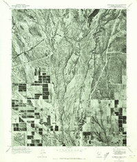 1971 Calderwood Butte1972 Print · USGSMaricopa County underwent a dramatic transformation in the early seventies as desert land transitioned into planned communities. Trace the early boundaries of Surprise and Sun City alongside the natural course of the Agua Fria River.
 - 1971 Map of Glendale, 1972 Print
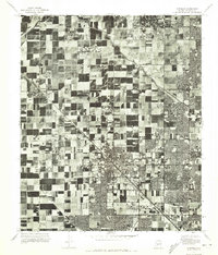 1971 Glendale1972 Print · USGSThe Salt River Valley is captured in the early seventies, showing a fascinating mix of industrial farming and suburban growth. Trace the expansion of Glendale and Peoria alongside the vital Arizona Canal as the desert landscape began its modern transformation.
 - 1971 Map of Hedgpeth Hills, 1972 Print
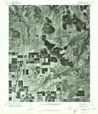 1971 Hedgpeth Hills1972 Print · USGSMaricopa County is captured during its early 1970s agricultural expansion in this aerial orthophoto. Researchers can trace the development of irrigation grids and rural land use between Pyramid Pk and the Hedgpeth Hills.
 - 1988 Map of Phoenix North, 1989 Print
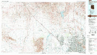 1988 Phoenix North1989 Print · USGSNorth of Phoenix in the late eighties, the desert landscape transitions from the mining heritage of Wickenburg to the burgeoning suburbs of the valley. Trace the paths of the Atchison Topeka and Santa Fe Railway or locate old operations like the Vulture Mine.2 unique versions available
 - 2011 Map of Biscuit Flat, 2011 Print
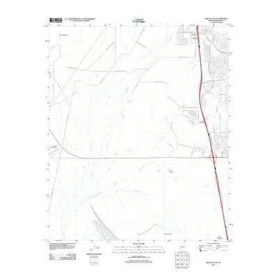 2011 Biscuit Flat2011 Print · USGSMaricopa County's northern frontier shows its modern face in the early 21st century as the desert gives way to residential growth. Trace the development of Anthem and locate infrastructure like the Central Arizona Project CSR and Pleasant Valley Airport.
 - 2011 Map of El Mirage, 2011 Print
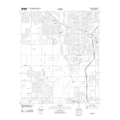 2011 El Mirage2011 Print · USGSThe West Valley suburbs near Phoenix were rapidly evolving into a network of retirement communities and residential hubs by 2011. You can trace the growth of Sun City and El Mirage alongside the Agua Fria River and landmarks like LaLoma Ranch.
 - 2011 Map of Hedgpeth Hills, 2011 Print
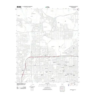 2011 Hedgpeth Hills2011 Print · USGSNorthern Phoenix at the start of the decade shows a landscape where master-planned suburban growth meets desert peaks. Researchers can trace the development of Arrowhead Ranch and Midwestern University, or locate local landmarks like McGills Ultralight Field.
 - 2011 Map of Garfias Mountain, 2011 Print
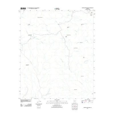 2011 Garfias Mountain2011 Print · USGSMaricopa County's high desert terrain is captured here in the early twenty-first century, showing a landscape of remote ranching and rugged mountain peaks. Researchers can trace the water-dependent history of the area through sites like Big Reef Mill, Eleven L Ranch, and Saint Anthony Spring.
Showing maps 1-25 of 62
Top cities near Peoria
- Phoenix historical maps
- Glendale historical maps
- Surprise historical maps
- Buckeye historical maps
- Sun City CDP historical maps
- Sun City historical maps
See more
Top neighborhoods of Peoria
- Westbrook Village historical maps
- Pioneer Village II historical maps
- Tuscany Shores at Desert Harbor historical maps
- Braemar VII historical maps
- Bristle Manor historical maps
- Olive West historical maps
See more
Frequently asked questions
- What are the different types of historical maps available for Peoria?
- What is the oldest map of Peoria?
- Where can I purchase historical maps of Peoria for my home or office?
- Where can I download high-res historical maps of Peoria?
- Are there historical topographic maps available for Peoria?
- Is there historical aerial imagery available for Peoria?
- Where are historical maps of Peoria sourced from?