2000s (21st Century) Maps of Peoria, Arizona
Explore 41 historic maps of Peoria from the 2000s (21st Century). These maps offer a rare glimpse into what life looked like during the 2000s — showing old roads, neighborhoods, homes, and landmarks that have changed or disappeared over time.
Whether you're researching your family's past, planning a metal detecting trip, or studying how Peoria's landscape evolved across the 2000s, these high-resolution maps are a powerful tool for exploring the history of this region.
- Focus on a specific era: All maps on this page are from the 2000s, giving you a focused view of this time period.
- See what’s changed: Compare century-old streets, trails, and buildings to today's modern landscape using overlays and satellite layers.
- Research with precision: Use these maps for genealogy, historical research, land use analysis, or educational projects.
- View, download, or print: Maps are fully viewable online in high resolution, and can be downloaded or printed for your own records.
Start exploring Peoria's history through authentic maps from the 2000s. This is your window into the past.
Peoria, AZ maps
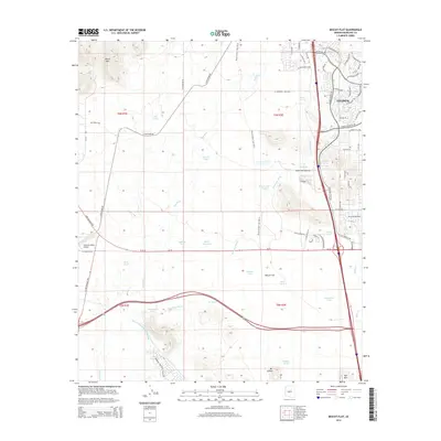
(41)- 2011 Map of Biscuit Flat, 2011 Print
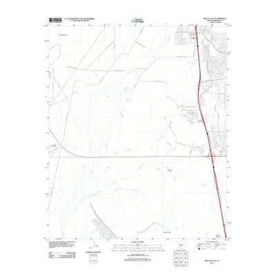 2011 Biscuit Flat2011 Print · USGSCovers Peoria, including Phoenix, Anthem, and other nearby areas
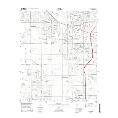
 - 2011 Map of El Mirage, 2011 Print
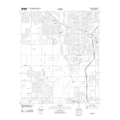 2011 El Mirage2011 Print · USGSCovers Peoria, including Phoenix, Glendale, and other nearby areas
 - 2011 Map of Hedgpeth Hills, 2011 Print
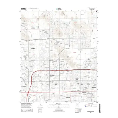
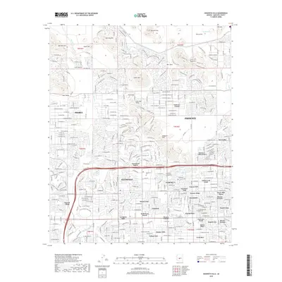
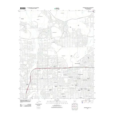 2011 Hedgpeth Hills2011 Print · USGSCovers Peoria, including Phoenix, Glendale, and other nearby areas
 - 2011 Map of Garfias Mountain, 2011 Print
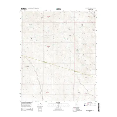
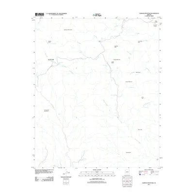 2011 Garfias Mountain2011 Print · USGSCovers Peoria, including Big Reef Mill, Maricopa County, and other nearby areas
 - 2011 Map of Hieroglyphic Mountains SW, 2011 Print
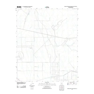 2011 Hieroglyphic Mountains SW2011 Print · USGSCovers Peoria, including Surprise, Maricopa County, and other nearby areas
 - 2011 Map of Governors Peak, 2011 Print
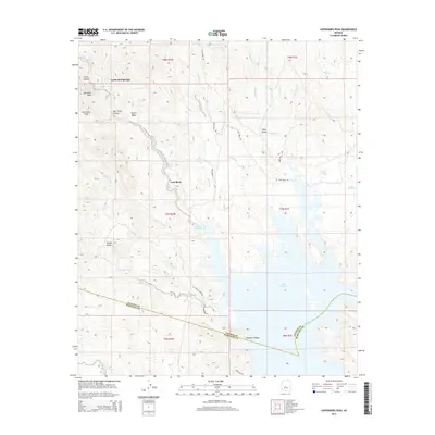
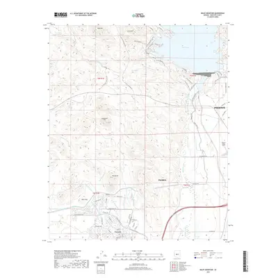
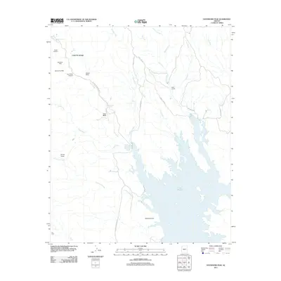 2011 Governors Peak2011 Print · USGSCovers Peoria, including Casa Rosa, Castle Hot Springs, and other nearby areas
 - 2011 Map of Calderwood Butte, 2011 Print
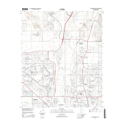
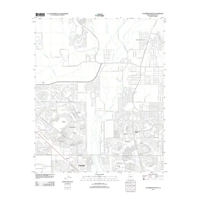 2011 Calderwood Butte2011 Print · USGSCovers Peoria, including Surprise, Sun City, and other nearby areas
 - 2011 Map of Glendale, 2011 Print
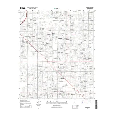
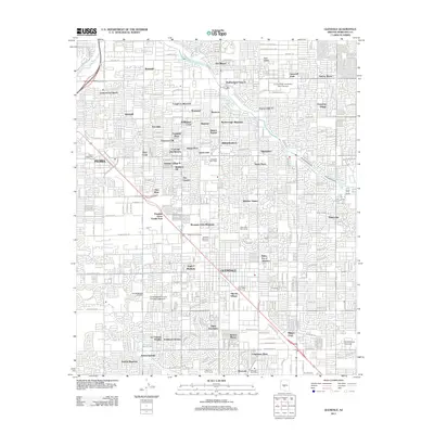 2011 Glendale2011 Print · USGSCovers Peoria, including Phoenix, Glendale, and other nearby areas
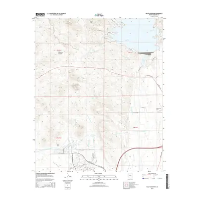
 - 2011 Map of Baldy Mountain, 2011 Print
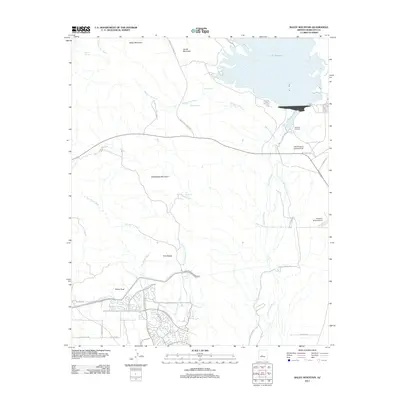 2011 Baldy Mountain2011 Print · USGSCovers Peoria, including Phoenix, Maricopa County, and other nearby areas
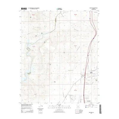
 - 2011 Map of New River, 2011 Print
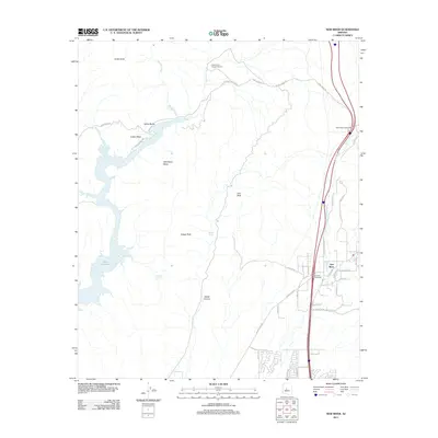 2011 New River2011 Print · USGSCovers Peoria, including Phoenix, New River, and other nearby areas
 - 2014 Map of Governors Peak, 2014 Print
 2014 Governors Peak2014 Print · USGSCovers Peoria, including Casa Rosa, Castle Hot Springs, and other nearby areas
 - 2014 Map of Glendale, 2014 Print
 2014 Glendale2014 Print · USGSCovers Peoria, including Phoenix, Glendale, and other nearby areas
 - 2014 Map of El Mirage, 2014 Print
 2014 El Mirage2014 Print · USGSCovers Peoria, including Phoenix, Glendale, and other nearby areas
 - 2014 Map of Calderwood Butte, 2014 Print
 2014 Calderwood Butte2014 Print · USGSCovers Peoria, including Surprise, Sun City, and other nearby areas
 - 2014 Map of Baldy Mountain, 2014 Print
 2014 Baldy Mountain2014 Print · USGSCovers Peoria, including Phoenix, Maricopa County, and other nearby areas
 - 2014 Map of Hieroglyphic Mountains SW, 2014 Print
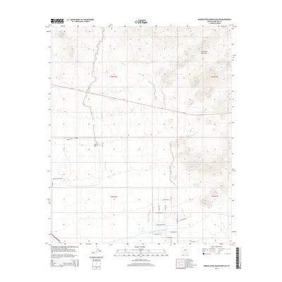 2014 Hieroglyphic Mountains SW2014 Print · USGSCovers Peoria, including Surprise, Maricopa County, and other nearby areas
 - 2014 Map of Hedgpeth Hills, 2014 Print
 2014 Hedgpeth Hills2014 Print · USGSCovers Peoria, including Phoenix, Glendale, and other nearby areas
 - 2014 Map of Garfias Mountain, 2014 Print
 2014 Garfias Mountain2014 Print · USGSCovers Peoria, including Big Reef Mill, Maricopa County, and other nearby areas
 - 2014 Map of New River, 2014 Print
 2014 New River2014 Print · USGSCovers Peoria, including Phoenix, New River, and other nearby areas
 - 2014 Map of Biscuit Flat, 2014 Print
 2014 Biscuit Flat2014 Print · USGSCovers Peoria, including Phoenix, Anthem, and other nearby areas
 - 2018 Map of Glendale, 2018 Print
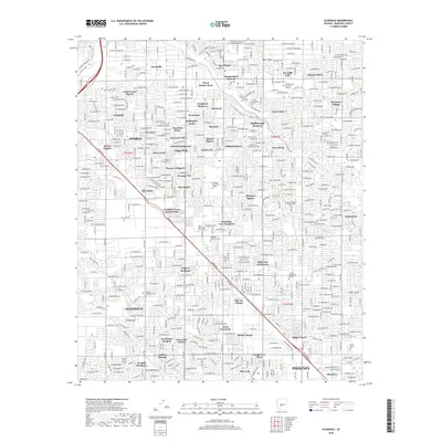 2018 Glendale2018 Print · USGSCovers Peoria, including Phoenix, Glendale, and other nearby areas
 - 2018 Map of Hieroglyphic Mountains SW, 2018 Print
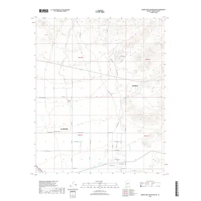 2018 Hieroglyphic Mountains SW2018 Print · USGSCovers Peoria, including Surprise, Maricopa County, and other nearby areas
 - 2018 Map of Garfias Mountain, 2018 Print
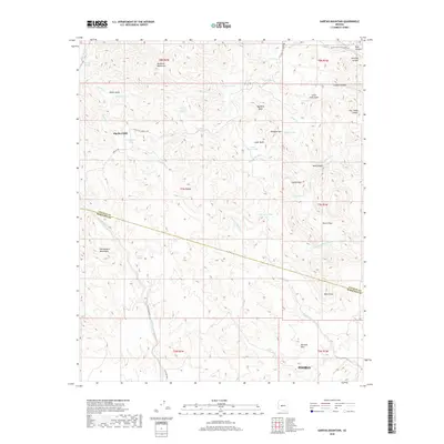 2018 Garfias Mountain2018 Print · USGSCovers Peoria, including Big Reef Mill, Maricopa County, and other nearby areas
 - 2018 Map of Baldy Mountain, 2018 Print
 2018 Baldy Mountain2018 Print · USGSCovers Peoria, including Phoenix, Maricopa County, and other nearby areas
 - 2018 Map of Hedgpeth Hills, 2018 Print
 2018 Hedgpeth Hills2018 Print · USGSCovers Peoria, including Phoenix, Glendale, and other nearby areas
Showing maps 1-25 of 41
Top cities near Peoria
- Phoenix historical maps
- Glendale historical maps
- Surprise historical maps
- Buckeye historical maps
- Sun City historical maps
- Sun City CDP historical maps
See more
Top neighborhoods of Peoria
- Westbrook Village historical maps
- Pioneer Village II historical maps
- Tuscany Shores at Desert Harbor historical maps
- Braemar VII historical maps
- Bristle Manor historical maps
- Olive West historical maps
See more
Frequently asked questions
- What are the different types of historical maps available for Peoria?
- What is the oldest map of Peoria?
- Where can I purchase historical maps of Peoria for my home or office?
- Where can I download high-res historical maps of Peoria?
- Are there historical topographic maps available for Peoria?
- Is there historical aerial imagery available for Peoria?
- Where are historical maps of Peoria sourced from?