Old Maps of Melrose District, Phoenix for Academic Research
Study the evolution of Melrose District with 25 high-resolution historic maps. Whether you're teaching, researching, or modeling changes in land use, these maps provide essential visual documentation of urban, environmental, and geographic change.
- Analyze long-term change: Track patterns in development, transportation, and natural features.
- Ideal for environmental or urban studies: Support academic projects with primary historical map data.
- Use in the classroom or lab: Educators and researchers rely on these maps to bring historical context to life.
These maps are a powerful tool for teaching, research, and visualizing how Melrose District has changed over the decades.
Melrose District, Phoenix maps
(25)- 1912 Map of Phoenix, 1955 Print
 1912 Phoenix1955 Print · USGSEarly 1900s Phoenix is depicted as an emerging agricultural and rail hub defined by its extensive canal system and desert surroundings. Genealogists and local researchers can trace early homesteads and community centers like Alhambra, St Johns Chapel, and the County Poor Farm.
 - 1914 Map of Phoenix
 1914 Phoenix1914 Print · USGSPhoenix and its surrounding valley are documented here at a pivotal moment of irrigation-driven growth before the mid-century boom. Genealogists and historians can locate early landmarks like the State Hospital, Maricopa Village, and numerous rural schoolhouses such as Isaac School and Fowler School.4 unique versions available
 - 1952 Map of Phoenix, 1957 Print
 1952 Phoenix1957 Print · USGSPhoenix thrives in the early fifties as post-war growth transforms the Salt River Valley. Researchers can trace mid-century landmarks from Phoenix Municipal Airport to the historic Greenwood Cem and Encanto Park & Golf Course.5 unique versions available
 - 1952 Map of Phoenix, 1960 Print
 1952 Phoenix1960 Print · USGSCentral Arizona's desert valley is shown in the early fifties as the city expands toward the Salt River. Genealogists can trace family names and sites from Maricopa Village to Alhambra, including local landmarks like St Johns Indian Sch.2 unique versions available
 - 1954 Map of Phoenix, 1964 Print
 1954 Phoenix1964 Print · USGSMid-century Arizona is captured here as the Phoenix metropolitan area begins its rapid expansion into the surrounding desert. Genealogists and historians can trace the development of agricultural hubs like Buckeye and Tolleson, or locate remote landmarks like the Vulture Mine and Nottbusch Cem.5 unique versions available
 - 1957 Map of Phoenix
 1957 Phoenix1957 Print · USGSGreater Phoenix and the central Arizona desert during the mid-fifties reveal a landscape of growing suburbs and active desert mines. Researchers can trace the legacy of local landmarks like Wickenburg Prison, the Vulture Mine, and the Tonopah Post Office.
 - 1958 Map of Phoenix
 1958 Phoenix1958 Print · USGSThe Phoenix Valley enters a period of postwar expansion, where desert irrigation meets massive military aviation footprints. Trace the development of Phoenix and Glendale alongside the legendary Vulture Mine and the auxiliary runways of Luke Air Force Base.
 - 1960 Map of Phoenix
 1960 Phoenix1960 Print · USGSCentral Arizona in the mid-fifties reveals a landscape of rapid suburban growth alongside enduring desert mining and ranching. Genealogists and historians can trace rail-side settlements like Vicksburg Junction and Waddell, or locate the Vulture Mine and early sites like Agua Fria School.
 - 1965 Map of Sunnyslope, 1967 Print
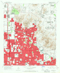 1965 Sunnyslope1967 Print · USGSPhoenix and the Sunnyslope area are shown in the mid-sixties as suburban neighborhoods rapidly expanded toward the desert mountains. Trace local history at the Chris-Town Mall, the Arizona Canal, and numerous schools like Sunnyslope High Sch.4 unique versions available
 - 1969 Map of Phoenix, 1970 Print
 1969 Phoenix1970 Print · USGSCentral Arizona is seen at a technological turning point in the late sixties, using Apollo 9 space photography to map the desert landscape. Researchers can trace the growth of Sun City, locate old workings at Vulture Mine, and follow the Gila River past Buckeye.2 unique versions available
 - 1971 Map of Phoenix
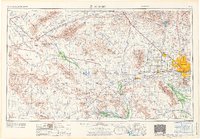 1971 Phoenix1971 Print · USGSCentral Arizona at the start of the seventies shows a desert metropolis expanding toward the Sun Valley retirement boom. Trace the growth of Sun City and Glendale, or locate remote historic sites like the Vulture Gold Mine and Nottbusch Cemetery.
 - 1971 Map of Phoenix, 1972 Print
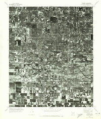 1971 Phoenix1972 Print · USGSCentral Arizona's urban heart is captured in the early seventies, showing the rapid transformation of the desert landscape. Genealogists and historians can trace the evolution of Phoenix and South Phoenix along the banks of the Salt River.
 - 1971 Map of Sunnyslope, 1972 Print
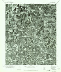 1971 Sunnyslope1972 Print · USGSThe Phoenix suburbs and desert peaks are captured in this early 1970s aerial survey. Trace the path of the Arizona Canal as it cuts through the developing neighborhoods of Sunnyslope and Phoenix, framed by landmarks like Shaw Butte.
 - 1981 Map of Phoenix South
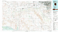 1981 Phoenix South1981 Print · USGSThe desert south of Phoenix in the early eighties shows a unique mix of tribal lands, military outposts, and agricultural growth. Genealogists and historians can trace settlements like Ak Chin and Valencia or locate the Buckeye Copper Mine and Luke Aux Field No 6.2 unique versions available
 - 1988 Map of Phoenix North, 1989 Print
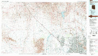 1988 Phoenix North1989 Print · USGSNorth of Phoenix in the late eighties, the desert landscape transitions from the mining heritage of Wickenburg to the burgeoning suburbs of the valley. Trace the paths of the Atchison Topeka and Santa Fe Railway or locate old operations like the Vulture Mine.2 unique versions available
 - 2011 Map of Phoenix, 2011 Print
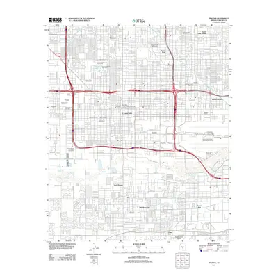 2011 Phoenix2011 Print · USGSPhoenix at the start of the 2010s shows a modern desert metropolis still anchored by its deep-rooted civic and irrigation history. Researchers can trace ancestral sites at Old City Cemetery or explore landmarks like the Arizona State Fairgrounds and the Grand Canal.
 - 2011 Map of Sunnyslope, 2011 Print
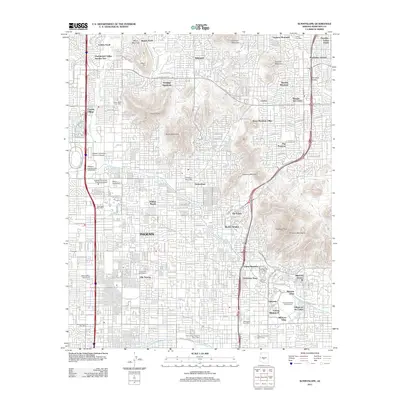 2011 Sunnyslope2011 Print · USGSPhoenix and the Sunnyslope district are captured here during a period of significant urban density and higher education growth. Researchers can trace the layout of Biltmore Villas, locate the Cactus Post Office, and map the rugged boundaries of The Preserve.
 - 2014 Map of Sunnyslope, 2014 Print
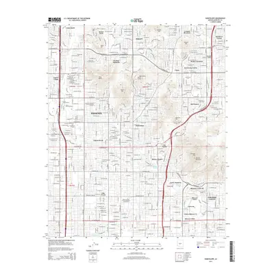 2014 Sunnyslope2014 Print · USGSPhoenix and the historic Sunnyslope area appear in the early 21st century as a dense metropolitan grid bounded by desert mountain preserves. Researchers can trace the development of Paradise Valley or locate established landmarks like Piestewa Peak and Southwestern Coll.
 - 2014 Map of Phoenix, 2014 Print
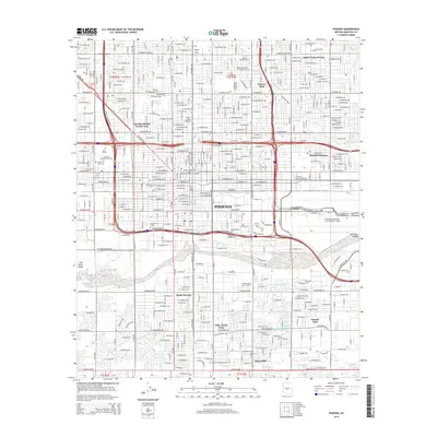 2014 Phoenix2014 Print · USGSPhoenix and its southern suburbs are shown in high detail during a period of significant modern urban density. Researchers can locate numerous historic burial sites such as Beth El Cem and Rosedale Cem, or trace the path of the Southern Pacific RR past Phoenix Sky Harbor International Airport.
 - 2018 Map of Phoenix, 2018 Print
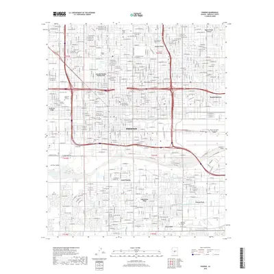 2018 Phoenix2018 Print · USGSPhoenix and its southern neighborhoods are captured here in the late 2010s as the city continues to expand along the Salt River. Researchers can locate several historic burial sites like Greenwood Memory Lawn Cem and Rosedale Cem, or trace the paths of the Grand Canal and Western Canal.
 - 2018 Map of Sunnyslope, 2018 Print
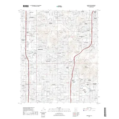 2018 Sunnyslope2018 Print · USGSThe northern reaches of Phoenix and Sunnyslope are shown here during a period of significant urban density and educational growth. Researchers can trace the boundaries of established neighborhoods like Villa Novena and locate landmarks such as the American Indian College or Shaw Butte.
 - 2021 Map of Phoenix, 2021 Print
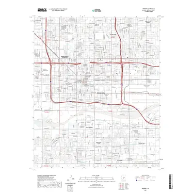 2021 Phoenix2021 Print · USGSPhoenix and its surrounding valley are captured here in a moment of modern urban density along the Salt River. Researchers can locate civic and genealogical sites like the Maricopa County Old Courthouse and Beth El Cem.
 - 2021 Map of Sunnyslope, 2021 Print
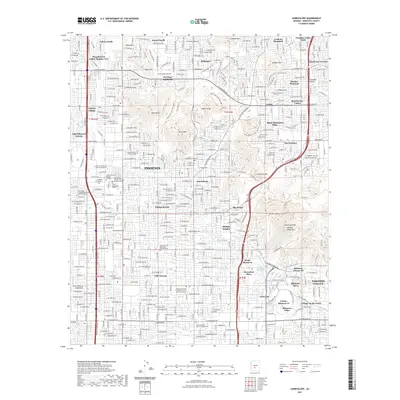 2021 Sunnyslope2021 Print · USGSNorthern Phoenix and Sunnyslope appear here as a mature desert metropolis integrated with the Phoenix Mountains in the early 2020s. Trace local landmarks like the Church of the Beatitudes Columbarium, the Arizona Canal, and trailheads for Shaw Butte.
 - 2023 Map of Phoenix, 2023 Print
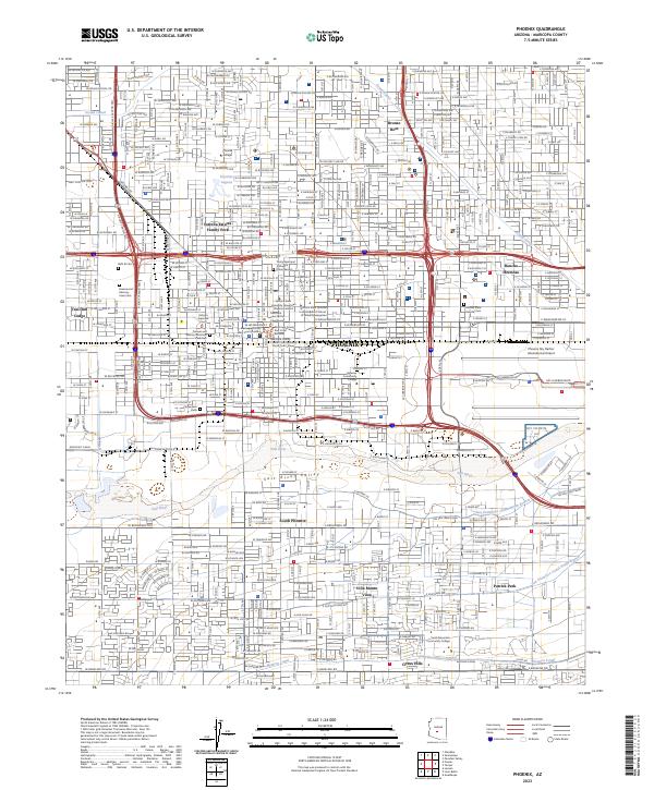 2023 Phoenix2023 Print · USGSPhoenix and its surrounding valley are captured here as a sprawling metropolitan center shaped by its river and canals. Genealogists and historians can trace the footprint of Beth El Cem, the Western Canal, and the early layout of South Phoenix.
 - 2023 Map of Sunnyslope, 2023 Print
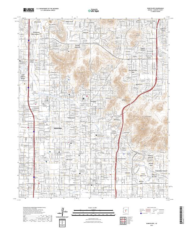 2023 Sunnyslope2023 Print · USGSThe Phoenix and Paradise Valley desert landscape is documented here in the early twenty-first century. Genealogists and local historians can locate specific sites like All Saints Episcopal Church Cem, Sunnyslope, and SAGU American Indian College.
End of results
Showing maps 1-25 of 25
Frequently asked questions
- What are the different types of historical maps available for Melrose District?
- What is the oldest map of Melrose District?
- Where can I purchase historical maps of Melrose District for my home or office?
- Where can I download high-res historical maps of Melrose District?
- Are there historical topographic maps available for Melrose District?
- Is there historical aerial imagery available for Melrose District?
- Where are historical maps of Melrose District sourced from?