
1914 Map of Phoenix
USGS Topo · Published 1914About this map
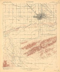
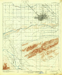
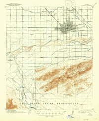
Phoenix is captured here as a growing agricultural and administrative hub, intricately tied to its desert water systems. The map details a sophisticated network of irrigation including the Grand Canal, Salt River Valley Canal, and the Wormer Canal, which fueled the region's early expansion. Beyond the city grid, the landscape is dotted with early educational and social institutions, such as the Cartwright School, Riverside School, and the County Poor Farm. To the south, the Salt River Mountains provide a dramatic backdrop, home to the Gold Coin Mine and Telegraph Pass. This survey illustrates the era's transition from open desert to cultivated valley, showing the proximity of the Gila River Indian Reservation and the importance of the Arizona Eastern R R and Prescott and Phoenix R R in connecting this oasis to the wider territory.
Find a feature on this map
42 named features on this map. Tap any name to fly to it.
Don’t see what you’re looking for? This feature index may not catch every label — zoom into the map to look around manually.
Map Details
Editions of this 1914 Phoenix Map
4 editions found
Other maps of this area

1904 · Camelback
USGS Topo · 1:62,500

1906 · Camelsback
USGS Topo · 1:62,500

1912 · Phoenix
USGS Topo · 1:62,500

1913 · Mesa
USGS Topo · 1:62,500

1913 · Maricopa
USGS Topo · 1:62,500

1914 · Gila Butte
USGS Topo · 1:62,500

1915 · Mesa
USGS Topo · 1:62,500

1915 · Maricopa
USGS Topo · 1:62,500

1917 · Gila Butte
USGS Topo · 1:62,500

1930 · Cave Creek
USGS Topo · 1:125,000